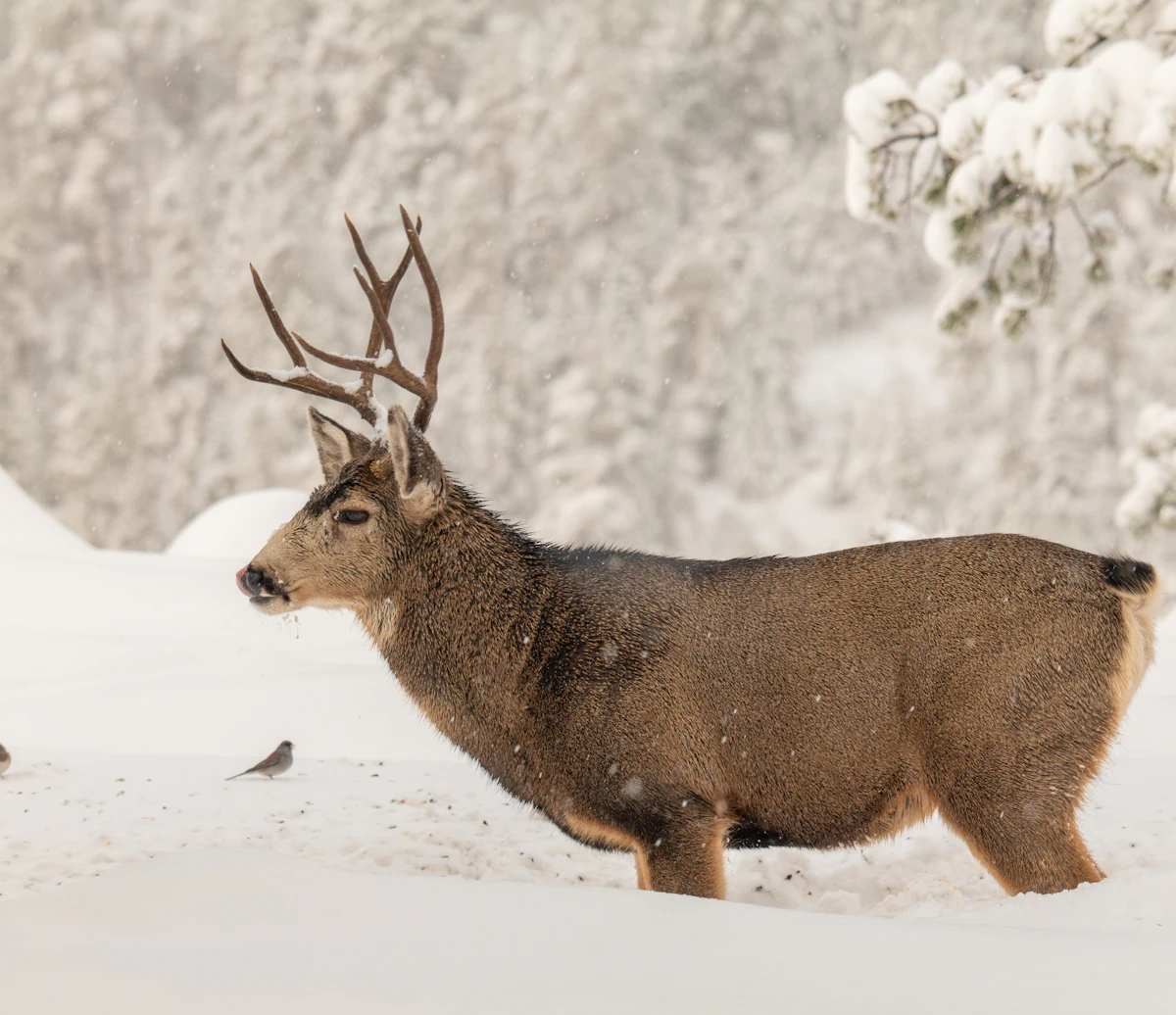
Colorado GMU 2 Elk Hunting Guide
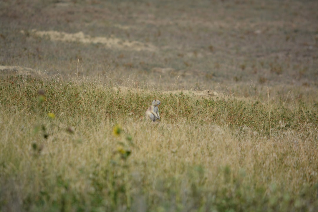
The land beyond the last paved road in northwest Colorado breathes a rare kind of quiet that seeps into your bones. Here, where Colorado brushes shoulders with Wyoming and Utah, the only signals are those sent by nature itself. Rolling sagebrush basins stretch endlessly, interrupted by towering escarpments that seem to guard secrets long lost to time. It’s a place where cell phones find no signal, and the silence is profound, the kind of quiet that makes the rustle of a distant mule deer sound like a thunderclap.
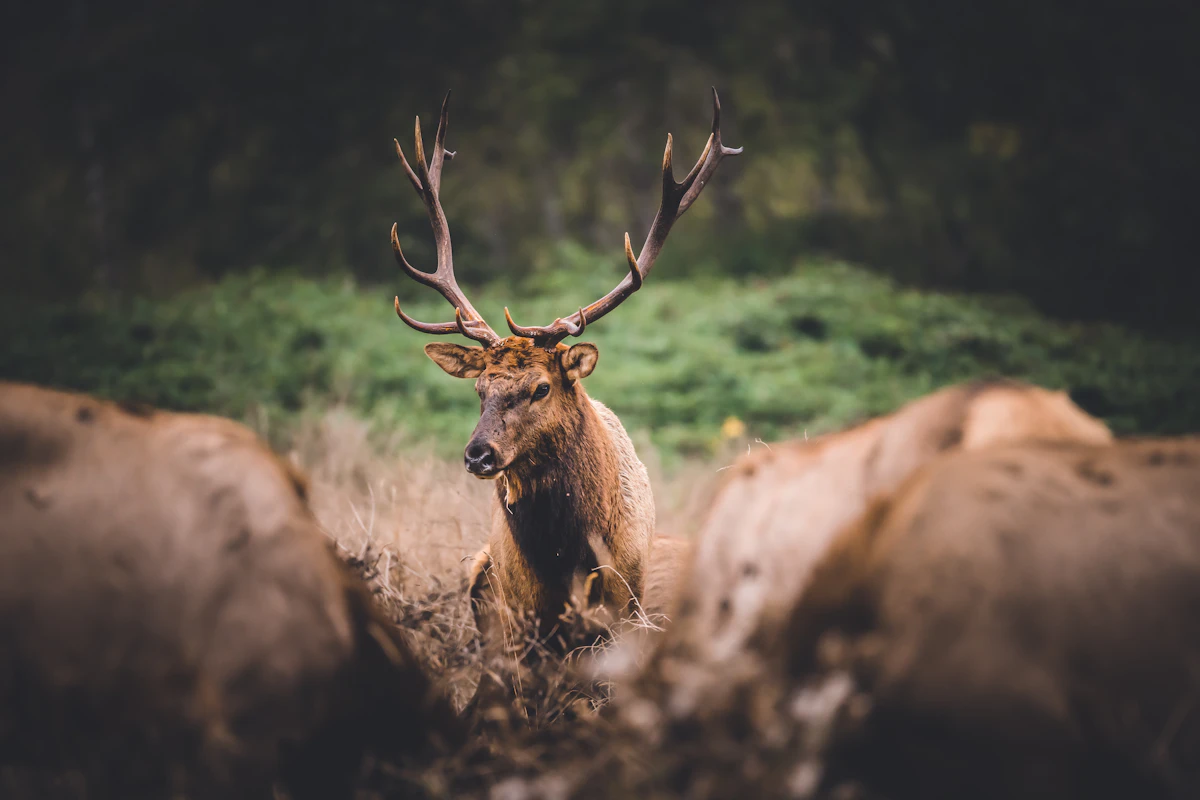
In this remote wilderness, the air is thin and sharp, carrying the scent of juniper and dust. Elk roam these parts, as intangible as a breeze, fading into the juniper groves and steep canyons as easily as they appear. To hunt here is to trust your instincts and your preparation—knowledge of the land and an understanding of these creatures are your true companions. Every step you take in the rugged terrain is a lesson, every whisper of wind a guide.
Commitment to this land is not for those who balk at solitude or adversity. The miles must be earned, the terrain read like a seasoned map. This is GMU 2, a place of vast promises and quiet challenges where the only roads lead deeper into the heart of the backcountry wilderness. Here, you confront the landscape on its own terms, and in doing so, find its raw majesty—and perhaps, its bounty.
Why GMU 2 Belongs On Your Colorado Elk List
GMU 2 gets attention because it offers a specific kind of Colorado elk hunt. It is not just a pin on a state map. It is wide sage basins, rimrock, juniper pockets, dark timber islands, and big country where elk can vanish without ever leaving visible ground. That kind of country creates opportunity for hunters who slow down and study details, but it also creates problems for hunters who expect elk to be visible from the first road they drive.
The biggest mistake is treating the unit like a reputation hunt. A unit name can get you interested, but it will not tell you where elk bed after opening morning, which access point turns into a parking lot, or which ridge becomes useless once the wind starts switching. That information comes from scouting, map work, and honest expectations.
If this is part of a draw strategy, pair your unit research with bonus points vs preference points and how long it takes to draw elk tags. A hard-to-draw tag is only valuable if you have a hunt plan that matches the country.
Terrain And Habitat In GMU 2
The terrain is the hunt in GMU 2. You are dealing with wide sage basins, rimrock, juniper pockets, dark timber islands, and big country where elk can vanish without ever leaving visible ground. Elk use that habitat differently depending on season timing, moisture, rut activity, rifle pressure, snow, and how much human traffic stacks up near roads and trailheads.
Early in the season, elk often stay closer to feed, shade, water, and bedding cover. That does not always mean high elevation. It means comfort and security. In some years that is a timbered bench above a creek. In others it is a shaded pocket near a feeding opening. During later seasons, weather can simplify movement by pushing elk into more predictable country, but it can also make access harder and pack-outs more serious.
Do not just mark every meadow and call it scouting. Mark escape cover. Mark benches below ridgelines. Mark timber fingers that connect feeding areas to bedding areas. Mark places that look inconvenient enough that most hunters will avoid them. That is where elk hunting starts to get more honest.
Access, Roads, And Private Land
Access in GMU 2 deserves more attention than most hunters give it. the map shows a lot of space, but practical access depends on roads, private edges, and knowing where public ground actually connects. The question is not simply whether there is public land. The question is whether you can reach useful public land in a way that lets you hunt elk instead of hunting around other people.
Before you commit to a plan, study:
- Legal access points
- Road conditions and seasonal closures
- Private boundaries
- Trailhead pressure
- Pack-out distance
- Alternate exits if weather changes
Colorado can make access look easy from a desktop map. On the ground, one locked gate, muddy road, or crowded trailhead can change the whole hunt. Use the same mindset you would use in a broader public land hunting guide: build backup plans before you need them.
How Hunting Pressure Changes GMU 2
even limited pressure can move elk into country that looks inconvenient, boring, or too far from camp for most hunters. That pressure does not always ruin the hunt. Sometimes it tells you where elk are headed.
Most hunters move predictably. They park in the same spots, hike the same trails, glass the same basins, and quit the same climbs. Elk respond by using terrain that breaks that pattern. They may shift into thicker timber, drop into a side drainage, feed after dark, or bed in a place that looks too small to matter.
If you understand that, pressure becomes information. Watch where hunters enter. Watch where roads create noise. Watch which ridges get skylined at daylight. Then ask where an elk can be close to feed, close to escape cover, and just far enough from people to feel secure.
For a deeper framework, read how to hunt elk pressure before you lock your plan.
E-Scouting GMU 2 Before You Go
Good scouting for GMU 2 starts at home. You want to narrow the unit down to a few serious hunt areas, not show up with fifty pins and no priorities.
Start with topo and satellite layers. Look for terrain transitions, not just obvious openings. Elk country often appears where feed, bedding, and escape routes overlap. A basin with feed but no security cover is a place elk may use at night. A timber pocket with no practical approach may be hard to hunt. The sweet spot is usually a place elk want to use and you can reach without blowing the whole drainage out.
Build your plan around:
- First-light glassing points
- Midday still-hunt cover
- Evening feeding approaches
- Wind-safe stalk routes
- Pack-out routes
- Backup drainages
For more on the scouting process, use how to scout a western hunt and how to use maps for hunting as companion pieces.
Hunt Strategy For GMU 2
The basic strategy is simple, but not easy: glass longer than feels natural, watch escape terrain after first light, and assume mature bulls are using the roughest shade and least obvious cover.
Archery hunters should think in terms of elk location first and calling second. Calling can help when elk are active, but blind calling into pressured country often teaches elk where not to be. Find fresh sign, listen before daylight, and use terrain to get inside the bubble before making noise.
Rifle hunters should focus on visibility, escape routes, and bedding cover. Opening morning can produce movement, but the second and third day often show who really understands the unit. Once elk absorb pressure, they stop acting like the animals hunters watched in August.
Late-season hunters need to respect weather. Snow can make elk easier to pattern, but it can also turn access and meat care into the real challenge. A tag is not a plan. A plan includes how you get there, how you get out, and how you get an elk off the mountain.
Common Mistakes In GMU 2
Hunters make the same mistakes in GMU 2 every season:
- Scouting only from roads
- Trusting old forum posts more than current conditions
- Ignoring private land edges
- Hunting visible country instead of secure country
- Underestimating pack-out distance
- Failing to adapt after opening pressure
The most expensive mistake is burning time on a bad plan because it looked good at home. If elk are not there, move with purpose. If sign is old, do not romanticize it. If pressure is too high, use it to predict where elk shifted.
GMU 2 can reward hunters with a mature-bull mindset, but it punishes anyone expecting easy sightings because the tag was hard to draw.
How TAGZ Fits Into GMU 2 Planning
TAGZ helps simplify the messy part of western hunting: comparing units, tracking draw options, organizing research, and seeing how a hunt fits into a bigger multi-state plan. For GMU 2, that means using unit-level context before you commit points, vacation time, and scouting weekends.
No tool replaces boot leather, but good planning keeps you from wasting effort in the wrong country. Use TAGZ to compare GMU 2 against other Colorado options, check how the unit fits your draw strategy, and keep your unit notes organized before the season gets close.
FAQ — Colorado GMU 2 Elk Hunting
Is GMU 2 a good elk unit?
It can be, but "good" depends on your tag, season, access plan, and expectations. GMU 2 rewards hunters who study terrain and pressure instead of just trusting the unit name.
Is GMU 2 good for a first Colorado elk hunt?
Maybe, but first-time hunters should be honest about fitness, navigation, and pack-out distance. If you are new to western elk hunting, read beginner elk hunt across the West before building your plan.
What is the best way to scout GMU 2?
Start with maps, narrow the unit to a few drainages, then verify access and sign on the ground. Focus on feed, bedding cover, escape terrain, and how elk can avoid hunter pressure.
Should I hunt high or low in GMU 2?
That depends on season timing and weather. Early hunts often require paying attention to shade, feed, and water. Later hunts may shift with snow, migration, and hunting pressure.
Does GMU 2 require preference points?
Colorado tag requirements change by season, method, residency, and year. Check current regulations and use TAGZ plus Colorado's draw information before assuming how many points are needed.
What is the biggest mistake hunters make in GMU 2?
The biggest mistake is showing up with one plan. GMU 2 deserves backup access points, backup basins, and a willingness to move when pressure or weather changes the hunt.
Was this article helpful?
Previous
Best Elk Units Under 5 Points
Best Elk Units Under 5 Points breaks down realistic elk planning around terrain, access, pressure, scouting, and hunter behavior so TAGZ readers can build a practical western hunt plan instead of chasing hype.
Next
Best Late Season Mule Deer Units
Best Late Season Mule Deer Units breaks down realistic mule deer planning around terrain, access, pressure, scouting, and hunter behavior so TAGZ readers can build a practical western hunt plan instead of chasing hype.