How to Read Maps for Hunting: Stop Guessing and Start Seeing the Ground
Most hunters look at maps, but not many actually read them.
They zoom in, drop a few pins, and call it scouting. Then they show up and realize none of it makes sense on the ground. That’s where things fall apart.
Maps aren’t just for navigation—they’re one of the biggest advantages you have if you know how to use them right. Before you ever step foot in a unit, you should already have a solid idea of where animals are, how they move, and where you’re going to start.
That’s what separates wandering from hunting.
The biggest mistake is relying on just one type of map. Topo or satellite—guys usually pick one and stick with it. That leaves half the picture missing. One shows you shape, the other shows you cover.
You need both.
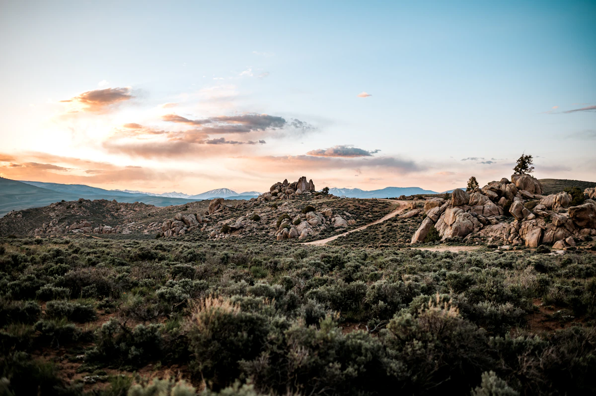
Topo maps tell you how the land lays. Steep, flat, broken, smooth—it’s all in the lines. Once you understand contour lines, you can see ridges, draws, benches, and basins without ever being there. You can tell how hard something is to get into, how animals might move through it, and where they’re likely to sit.
Satellite maps show you what’s actually on that ground. Timber, open slopes, meadows, water. That’s where you start picking out feed, cover, and edges.
Put those together, and the unit starts to make sense.
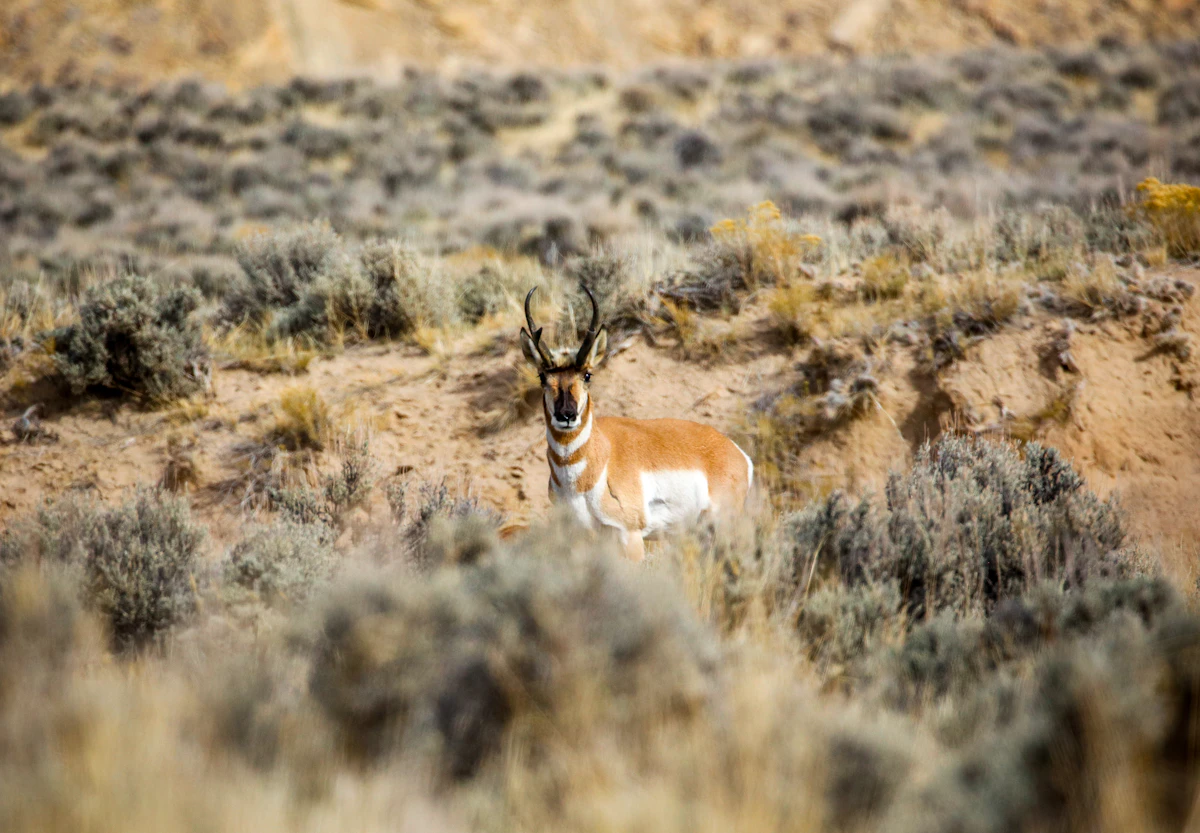
Animals don’t move randomly. They follow terrain that gives them an advantage. Ridges act like highways. Saddles pinch movement into tight areas. Benches give them a place to bed where they can see and still feel secure.
Draws and drainages hold water, shade, and cover, which makes them natural travel routes—especially when it’s warm.
North-facing slopes are another one that matters more than most people think. They stay cooler, hold more moisture, and usually have thicker cover. That’s where animals like to bed, especially early season.
Once you start seeing these patterns, you stop guessing where animals “might be” and start narrowing it down to where they should be.
The next step is tying that terrain to what animals actually need. Food, water, cover, and security—that never changes. If those line up, animals will be there at some point.
Bedding areas are usually tucked away. Thick cover, shaded ground, somewhere they can feel safe. Feeding areas are more open—meadows, lighter timber, edges where they can step out and feed without being fully exposed.
The real money is in the transition between those two.
That edge—where cover meets open ground—is where animals move. Morning and evening, that’s the line they’re working. If you can find that on a map, you’re already ahead before you even get there.
Movement is what everything comes down to. Animals aren’t just standing around—they’re moving between needs. And they do it in ways that conserve energy and reduce risk.
They’ll sidehill instead of climbing straight up. They’ll use cover instead of crossing wide open ground. They’ll follow terrain that gives them escape routes.
If you can see that on a map, you can start predicting movement instead of reacting to it.
Elevation plays into all of this too. Early season, animals tend to be higher. Less pressure, better conditions. As weather changes and pressure builds, they shift. Sometimes lower, sometimes into thicker ground.
If your map work doesn’t match the season you’re hunting, you’re looking in the wrong places before you even start.
Water is another piece that gets overlooked. Especially early, it can shape movement more than people realize. Creeks, springs, ponds—those all matter. Not always as a destination, but as part of a daily pattern.
If you’re not marking water, you’re missing part of the picture.
The goal with maps isn’t to find one perfect spot. It’s to build options. Multiple areas that all make sense for different reasons. That way when you hit the ground, you’re not locked into one plan.
You’ve got somewhere else to go.
That’s where most guys mess up. They drop a handful of pins without really understanding why. Or they pick one area and commit to it no matter what happens. If it doesn’t produce, they’re stuck starting over.
That’s wasted time.
The better approach is building a plan before you go. Where you’re starting, where you’re moving if it’s dead, how wind is going to affect your approach, how terrain is going to help or hurt you.
You don’t need every detail figured out—but you need direction.
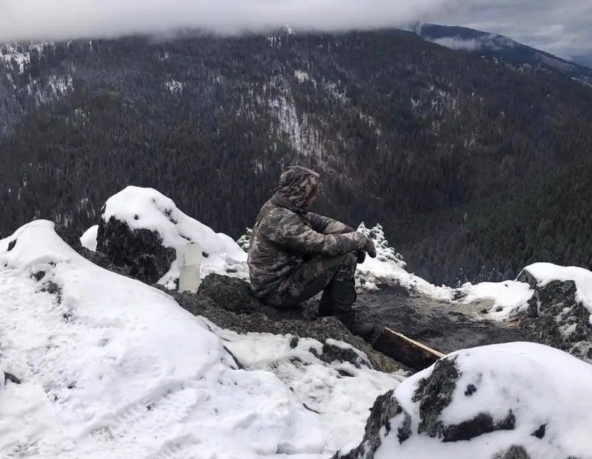
Once you get there, your job isn’t to start from scratch. It’s to confirm what you already saw. Tracks, beds, droppings, fresh sign—that’s what tells you if you’re right.
If you are, stay with it.
If you’re not, move to the next spot you already picked out.
That’s how you stay efficient.
A lot of hunters either overcomplicate this or don’t put enough thought into it at all. They either get buried in details or skip the process completely. Both lead to the same thing—wasted time in the field.
Maps don’t replace being there, but they make being there count.
If you learn how to read them the right way, you’re not just walking into a unit—you’re walking in with a plan.
That’s what puts you ahead.
Was this article helpful?
Previous
Weather Impact on Hunts: How Conditions Actually Move Animals
Weather drives animal movement. Temperature, wind, snow, and pressure all change how and where animals move. Hunters who adjust to conditions find more success.
Next
How to Read Draw Odds: Why Most Hunters Misunderstand Them
Draw odds show past probability, not guarantees. Understanding systems, demand, and tag splits helps you use them to hunt more consistently.