Rifle Elk Hunting in Washington: Tags, Units, and Strategies for Success
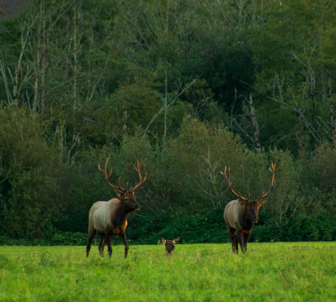
Washington rifle elk hunters choose between general-season tags valid across multiple game management units and controlled-hunt permits targeting specific areas with better bull-to-cow ratios. Modern firearm elk seasons typically open in mid-October and run through mid-November, with exact dates varying by GMU and hunt type. The state's elk population is concentrated in two primary regions: the northeast corner's Selkirk Mountains along the Idaho border and the south-central Cascade foothills east of Mount Rainier. Success hinges on understanding the draw system, selecting the right unit for your hunting style, and adapting tactics to Washington's steep, heavily timbered terrain.
General vs. Controlled Elk Tags
General elk tags are available over-the-counter to both residents and nonresidents and grant access to open GMUs during modern firearm season. These units experience higher hunter pressure but require no application or waiting period. Controlled hunts, managed through Washington's draw system, limit hunter numbers to improve quality and reduce pressure. Residents and nonresidents both apply during the spring controlled-hunt drawing, with results posted in late May or early June. Washington uses a preference-point system: applicants who do not draw earn one point, increasing draw odds in future years. First-time applicants can draw some controlled elk hunts, though premium units may require multiple points.
Northeast Washington Selkirk Units
GMUs 101 through 121 in the northeast corner hold the state's most consistent rifle elk hunting. The Selkirk Mountains' mix of old-growth cedar and hemlock, clearcuts, and avalanche chutes creates ideal elk habitat. Units 111 (Huckleberry), 113 (49 Degrees North), and 117 (Chewelah) consistently produce branch-antlered bulls during modern firearm season. Elk in this region migrate between high basins and timbered benches as rifle season progresses and weather deteriorates. Glassing avalanche paths at dawn and dusk from opposing ridges is effective early in the season. As snow accumulates, elk drop into lower creek drainages and transition zones between logged blocks and mature timber. The Colville National Forest road network provides access, though gated roads require boot leather to reach remote pockets.
South-Central Cascade Foothills
GMUs 329 through 382 in Yakima and Kittitas Counties hold the second major elk concentration. Units 346 (Cowiche), 356 (Bethel), and 368 (Nile) offer controlled-hunt opportunities for spike and branch-antlered bulls. The terrain shifts from open ponderosa ridges and sagebrush benches at lower elevations to dense Douglas fir and lodgepole stands higher up. Elk use oak draws and timbered north slopes as bedding cover, emerging onto open ridges to feed in early morning and late evening. Modern firearm hunters in this region often locate elk by glassing open hillsides from roads, then planning morning ambushes along transition zones between bedding and feeding areas. The L.T. Murray Wildlife Area and adjoining Wenatchee National Forest lands see moderate pressure, making early-season scouting essential to identify less-pressured pockets.
Public Land Access and Terrain Challenges
Washington's elk country is predominantly national forest and state wildlife areas, providing ample public-land opportunity. However, steep ridges, dense timber, and limited visibility require different tactics than open Western states. Elk in Washington's forests rarely bugle after mid-September, so rifle hunters rely on glassing clearcuts, calling sparingly to locate bedded bulls, and still-hunting timbered benches. Snow transforms hunting, concentrating elk along mid-elevation transition zones where forage remains accessible. Logging roads provide initial access, but gated roads and roadless areas hold less-pressured elk. Physical conditioning is critical: ridge climbs of 1,500 to 2,500 vertical feet in a morning are common, and pack-out distances can stretch beyond two miles.
Free to join
Download mobile app
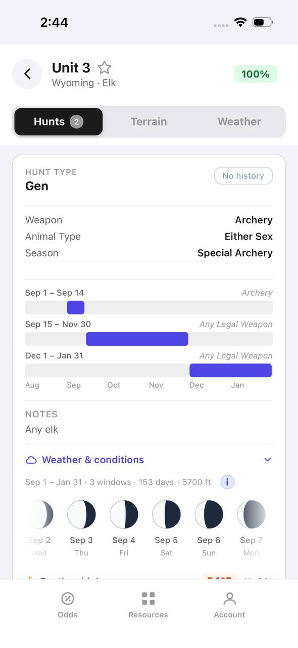
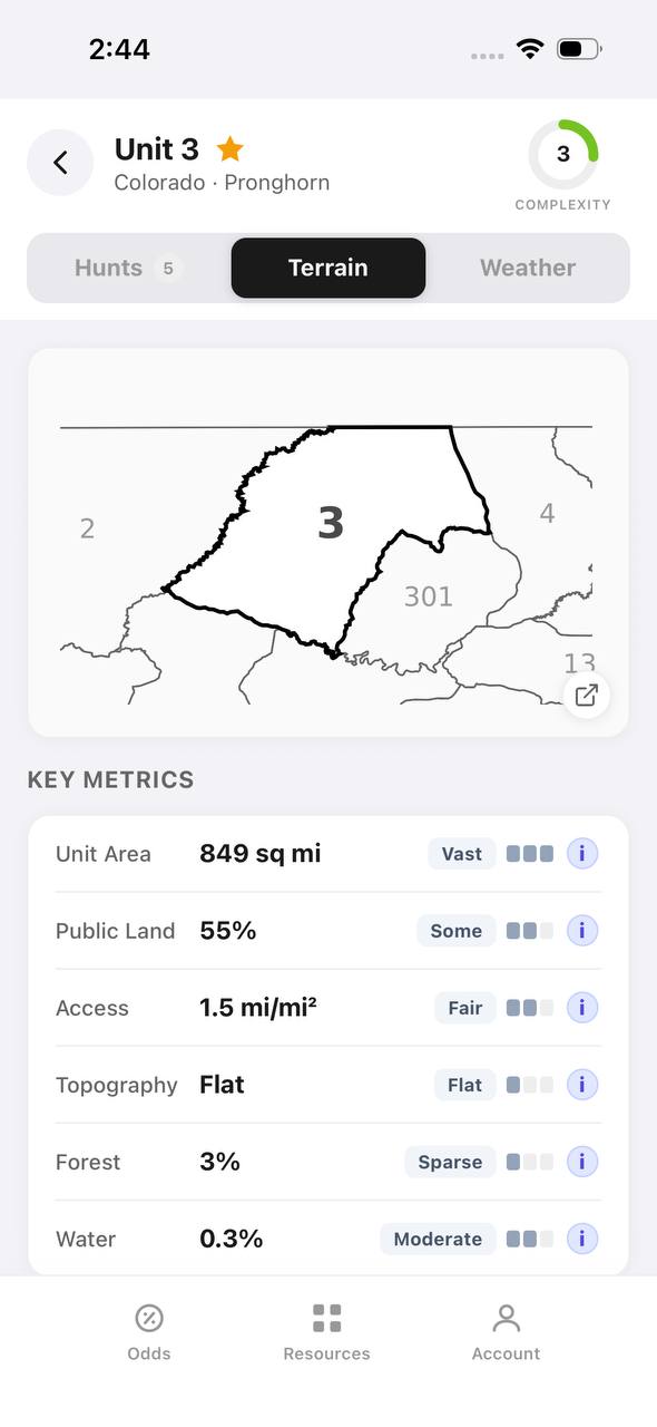
- Detailed draw odds
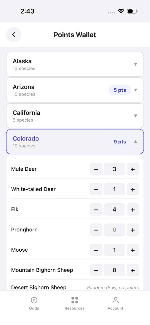
- Point tracking
- Deadline reminders
- 19 states covered

Free to join
Download mobile app
- Detailed draw odds
- Point tracking
- Deadline reminders
- 19 states covered
Free to join
Download mobile app
- Detailed draw odds
- Point tracking
- Deadline reminders
- 19 states covered
Weapon and Season Timing Considerations
Washington's modern firearm elk season allows centerfire rifles, muzzleloaders, and shotguns with slugs. Most hunters carry bolt-action rifles in .270 Winchester, .30-06 Springfield, or 7mm Remington Magnum, balancing flat trajectory for open clearcut shots with energy for timber encounters inside 150 yards. Scopes in the 3-9x or 4-12x range handle both situations. Season timing matters: opening weekend sees the highest pressure, but bulls remain in high basins if weather holds. By early November, snowfall pushes elk lower, increasing encounter rates but also concentrating hunters along valley-bottom roads. Late-season hunts after Thanksgiving in some controlled units offer solitude and focused elk movement patterns, though harsh weather can shut down access.
Application Strategy and Point Creep
Washington's controlled-hunt application period typically opens in early April and closes in mid-May, with results released by early June. Residents and nonresidents may apply for up to four choices per species, with first choice receiving priority. Point creep affects premium units: GMU 111 Huckleberry and GMU 117 Chewelah branch-antlered rifle hunts now require two to four points for consistent draws, while spike hunts in those units draw with zero or one point. South-central units like 346 Cowiche and 368 Nile branch bull tags also require multiple points, though spike tags draw more readily. Nonresidents face the same point system as residents but draw from a 10-percent quota in controlled hunts. Reviewing WDFW's draw statistics from prior years helps identify hunts with realistic odds given your point total.
FAQ — Washington Rifle Elk
Can nonresidents hunt rifle elk in Washington without applying for a controlled hunt?
Yes. Nonresidents may purchase general elk tags over-the-counter, granting access to open GMUs during modern firearm season. These units experience higher pressure but require no application or points.
Does Washington use preference points or bonus points for elk?
Washington uses a preference-point system. Applicants who do not draw earn one point, which increases draw odds in subsequent years. Points are species-specific and do not carry over between elk, deer, or other species.
What are the best rifle elk units for a first-time applicant?
Spike-only controlled hunts in northeast units like 111, 113, or 117 often draw with zero or one point and provide quality experience in productive elk country. South-central spike hunts in units 346 or 368 also draw more readily than branch-antlered tags.
When is Washington's rifle elk season?
Modern firearm elk seasons typically run mid-October through mid-November, with exact dates varying by GMU and hunt type. Some controlled late-season hunts extend into late November or early December. Always verify current-year dates on the WDFW website.
Is Washington elk hunting mostly timber or open country?
Mostly timber. Washington's elk habitat consists of dense conifer forests, clearcuts, and timbered ridges. Glassing clearcuts and avalanche chutes is productive, but most encounters occur in heavy cover requiring still-hunting and close-range shooting.
How difficult is the terrain for rifle elk in Washington?
Very challenging. Expect steep ridges with 1,500 to 2,500 feet of elevation gain, dense timber with limited visibility, and pack-out distances exceeding two miles. Physical conditioning and backcountry skills are essential for success away from road systems.
Was this article helpful?
Previous
DIY Elk Hunting in Arizona: Your 2027 Guide to Public-Land Success
Arizona offers excellent DIY elk hunting opportunities across diverse terrain from ponderosa forests to high desert. Success requires understanding the draw system, choosing the right unit for your points, and mastering public-land tactics in units with strong bull-to-cow ratios.
Related
Washington Archery Elk Hunting 2027: Complete Guide to Units, Draws, and OTC Options
Washington offers both general and limited-entry archery elk opportunities across diverse terrain, from coastal rainforests to eastern pine slopes. Understanding which units require draws versus OTC tags is essential for 2027 planning.
Next
Arizona Guided Pronghorn Hunts 2027: Bonus Points & Draw Odds
Arizona's guided pronghorn draw uses bonus points and 20% random allocation, creating opportunities for hunters at all experience levels. Understanding unit quality, guide requirements, and application strategy determines your odds.