How to Track Bears: Reading Sign, Understanding Movement, and Closing the Distance
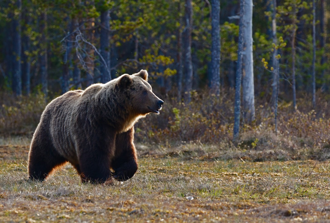
Bear hunting success hinges on one skill more than any other: tracking. Whether you are glassing berry patches in August or working fresh spring sign after a long winter, knowing how to read bear movement turns guesswork into strategy. Bears leave clear evidence of their presence — tracks, scat, claw marks, feeding sign — and hunters who can interpret that evidence dramatically increase their odds of closing the distance.
This guide walks you through the fundamentals of bear tracking, from identifying fresh sign to understanding how bears move through different terrain and seasons. You will learn what to look for, how to age sign, and how to use terrain and feeding patterns to predict where a bear will show up next.
Understanding Bear Tracks and Measurements
Bear tracks tell you size, direction, and timing. Front tracks are wide and rounded with five toes and claw marks extending beyond the pad. Hind tracks are longer, almost human-like, with the heel and toe impressions clearly defined. A black bear's front track typically measures 4–5 inches wide, while a mature boar may push 5.5–6 inches. Grizzly tracks are noticeably larger, with front tracks often exceeding 6 inches and claw marks extending 2–3 inches beyond the toes.
Fresh tracks show crisp edges and undisturbed detail. In soft soil or mud, you will see clear toe pad definition and sharp claw impressions. Tracks lose definition over time as edges crumble and wind fills in details. A track from this morning looks different than one from three days ago. Check the moisture level — damp soil holds shape longer than dry sand or dust.
Pay attention to stride and straddle. A walking bear leaves tracks roughly 12–18 inches apart in a slightly staggered pattern. A running bear shows longer strides and deeper impressions at the front of the track where the animal pushed off. When multiple tracks cross the same area, look for the freshest set and follow it to understand current movement.
Reading Scat and Feeding Sign
Bear scat reveals diet, size, and recent activity. Spring scat often contains remnants of winter-killed carrion, grasses, and emerging vegetation. It appears dark, tubular, and sometimes loose as bears flush their systems after denning. Summer scat shifts to berries, producing purple or reddish droppings full of seeds. Fall scat shows acorns, pine nuts, and mast depending on the region.
Fresh scat is moist, dark, and smells pungent. It retains shape and surface sheen. Scat more than 24 hours old begins to dry, crust over, and lose its odor. Scat from several days prior hardens completely and fades in color. If you find fresh scat near fresh tracks, you are close.
Bears leave feeding sign everywhere they eat. Torn-apart logs indicate a bear searching for grubs and insects. Stripped berry bushes with claw marks on branches show recent feeding. Overturned rocks, dug-up anthills, and excavated ground squirrel burrows all point to bear activity. In agricultural areas, check corn or oat fields for trampled stalks and stripped ears. Bears often return to productive feeding sites, so mark these locations and revisit them during prime feeding hours at dawn and dusk.
Using Terrain to Predict Bear Movement
Bears move between bedding, feeding, and water sources using the path of least resistance. They prefer ridgelines, old logging roads, game trails, and creek bottoms. In steep country, bears often traverse across the slope rather than straight up or down, conserving energy while covering ground.
Spring bears emerge hungry and seek south-facing slopes where snow melts first and vegetation greens up early. Glass avalanche chutes, clearcuts, and burned areas where fresh growth attracts bears. Water sources become critical in late summer and early fall, especially in dry years. Find a spring, creek, or wallow near active feeding sign and you have found a travel corridor.
Bedding areas are typically thick, secluded, and provide shade during midday heat. Look for north-facing slopes with dense timber, brush pockets, or blowdowns. Bears rarely bed in the same spot twice but often bed in the same general area. If you jump a bear from a bed, mark the location — another bear may use similar cover nearby.
Edge habitat where timber meets meadows or clearcuts creates natural funnels. Bears use these transition zones to move between cover and food. Set up downwind of these edges during morning and evening feeding windows.
Aging Sign and Determining Freshness
The difference between bear sign from this morning and bear sign from last week determines whether you keep tracking or move on. Freshness tells you how close you are and whether the bear is still in the area.
Tracks are the easiest to age. Fresh tracks in damp soil or mud show crisp, sharp edges with no erosion. The soil inside the track is darker and moister than surrounding ground. Tracks older than 12 hours begin to lose edge definition. Tracks several days old have crumbled edges, dried interiors, and may contain debris like pine needles or insect activity.
Claw marks on trees age similarly. Fresh claw marks expose light-colored sapwood with visible sap or moisture. Older claw marks darken as the wood oxidizes and dries. Bark tears on fresh marks are pliable; older tears become brittle.
Scat age depends on temperature and humidity. In hot, dry conditions, scat dries quickly — within hours. In cool, damp conditions, scat remains moist longer. Always cross-reference scat with other sign. If you find fresh scat, fresh tracks, and recent feeding sign in the same area, the bear is close.

Free to join
Download mobile app
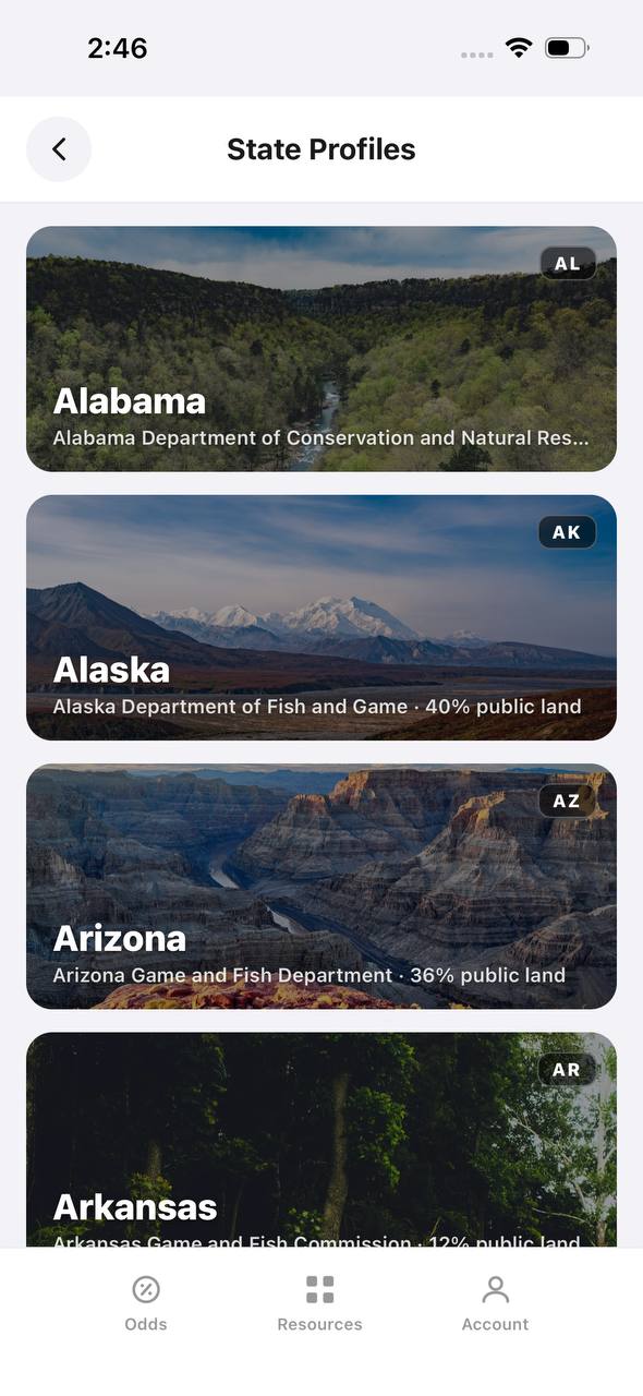
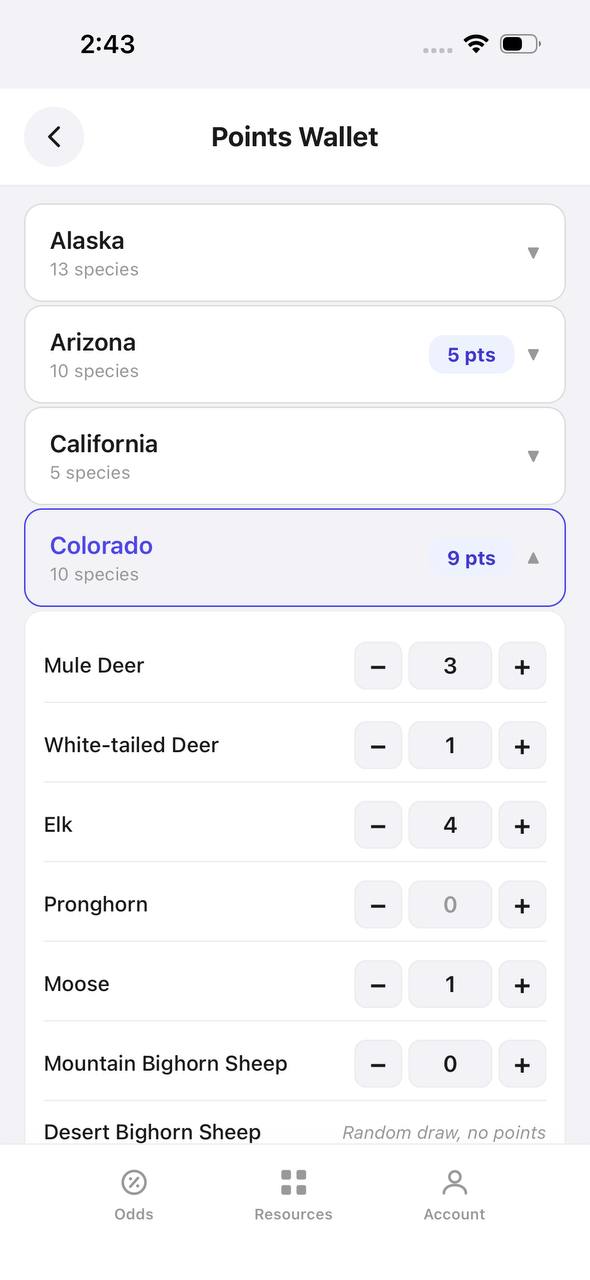
- Detailed draw odds
- Point tracking
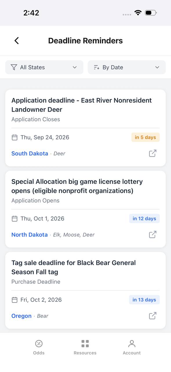
- Deadline reminders
- 18 states covered


Free to join
Download mobile app
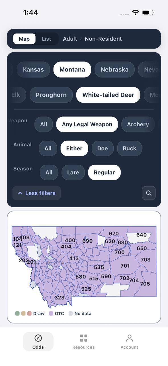
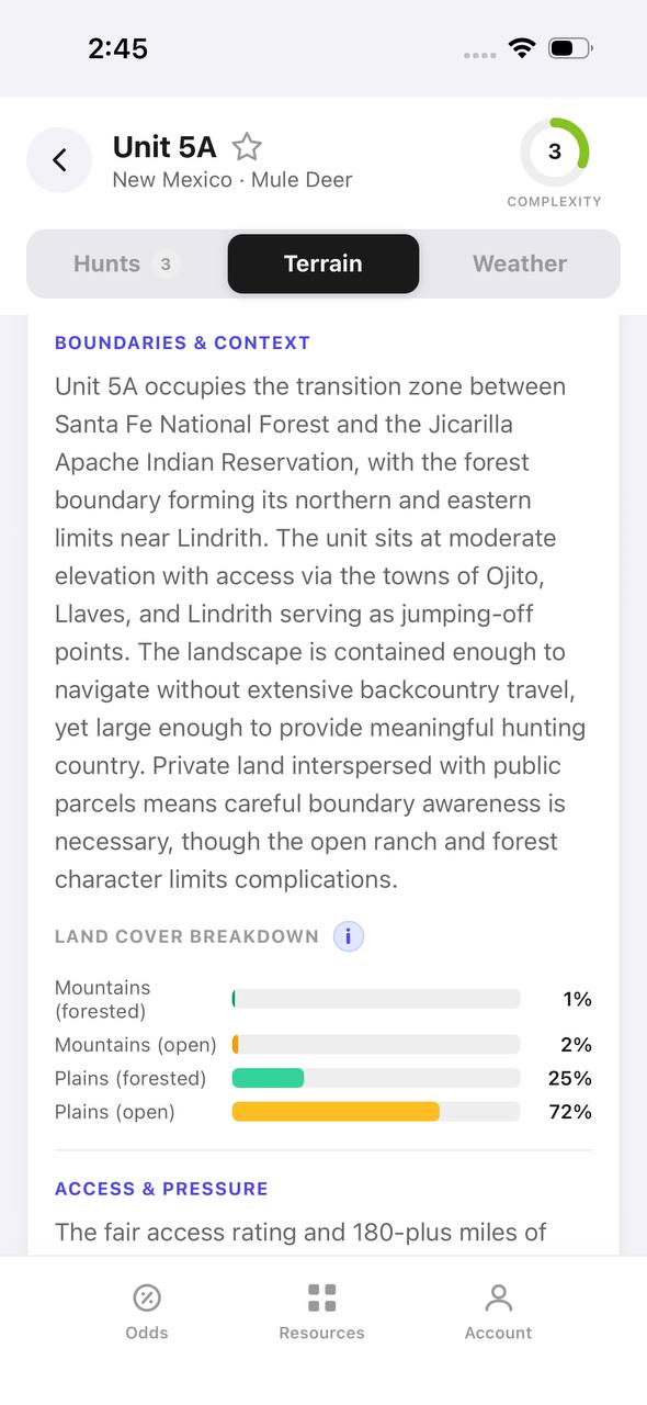
- Detailed draw odds
- Point tracking
- Deadline reminders
- 18 states covered

Free to join
Download mobile app
- Detailed draw odds
- Point tracking
- Deadline reminders
- 18 states covered

Tracking Strategies for Different Seasons
Spring bear hunting is tracking at its best. Bears emerge from dens hungry, focused on calories, and concentrated in predictable areas. Snow patches hold tracks perfectly and help you pattern movement between feeding zones. Start on south-facing slopes where new growth attracts bears. Follow ridgelines and glass from high vantage points. Fresh sign near green-up areas means the bear will return.
Summer tracking is harder. Dense vegetation obscures sign and bears spread out across larger home ranges. Focus on berry patches, oak groves, and water sources. Bears hit productive patches repeatedly, so if you find a heavily worked area, return at dawn or dusk and wait.
Fall tracking centers on mast crops. Acorns, pine nuts, and berries drive bear movement before denning. Find the food and you find the bears. Scat will tell you exactly what they are eating. Map productive feeding areas and track between them. Bears often create trails connecting multiple feeding sites.
Closing the Distance After Finding Fresh Sign
Once you confirm fresh sign, shift from tracking mode to hunting mode. Slow down, move quietly, and glass constantly. Bears rarely walk in straight lines for long — they zigzag, circle back, and bed unpredictably. If tracks lead into thick cover, do not follow blindly. Circle downwind and glass the edges.
Use the wind religiously. A bear's nose will bust you long before its eyes or ears. Always approach from downwind or crosswind. If the wind shifts, back out and reposition. A bumped bear may leave the drainage entirely.
When tracks lead to a feeding area, set up and wait. Bears revisit productive sites. Find a spot with good visibility, clear shooting lanes, and favorable wind. Morning and evening are prime. Midday bears are usually bedded.
If you jump a bear, do not chase it. Mark the location and wait an hour. Bears often circle back or bed nearby. Return later with better wind and more caution.
Tools and Gear for Effective Bear Tracking
You do not need specialized gear to track bears, but a few items make the process easier. Quality binoculars are essential for glassing feeding areas and spotting distant sign. A spotting scope helps confirm bear activity from long range before you commit to a stalk.
A GPS or mapping app helps you mark active feeding sites, fresh tracks, and travel corridors. Build a pattern over multiple days and adjust your strategy based on where sign clusters.
A notebook or phone camera records sign details. Photograph tracks, scat, and claw marks. Compare them over time to determine which bears are active and where they are moving. Carry a small tape measure to confirm track measurements — this helps you estimate bear size.
Wear scent-control clothing and use wind-checking powder or milkweed fluff. Bears live by their noses. You can be perfectly quiet and motionless and still get winded from 200 yards if you ignore the wind.
Bring layers. Bear tracking often starts before dawn and runs through midday heat. You will gain and lose elevation, move through timber and open meadows, and sit motionless for hours. Be prepared for temperature swings.
Common Tracking Mistakes to Avoid
The biggest mistake is moving too fast. Hunters find fresh sign and push hard, hoping to catch up. Bears do not travel in predictable straight lines, and pushing them educates them fast. Slow down, use the terrain, and let the bear come to you.
Ignoring wind direction is the second most common error. You can do everything else perfectly and still blow the hunt if the wind shifts. Check it constantly.
Overestimating sign freshness leads to wasted time. A track that looks good but is actually two days old sends you in the wrong direction. Cross-reference multiple sign types — tracks, scat, feeding sign — before committing.
Hunting midday in warm weather rarely works. Bears feed morning and evening, then bed during the heat. Use midday to scout, mark sign, and plan evening setups.
Glassing too little and walking too much burns energy and reduces success. Bears are visible when feeding. Set up in a good glassing spot and wait. Let your optics do the work.
TAGZ and Bear Hunt Planning
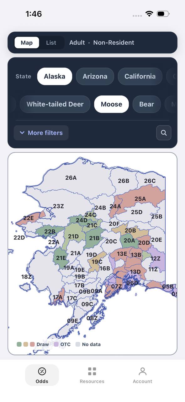
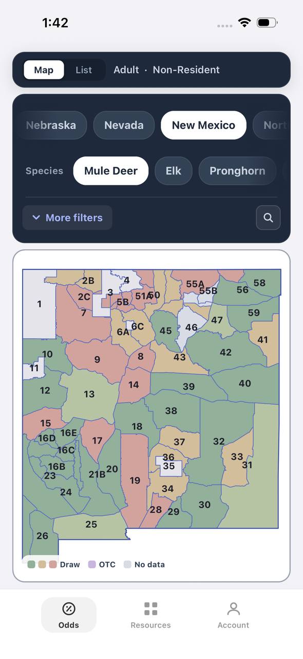
TAGZ helps you plan bear hunts by comparing draw odds, tracking preference points and bonus points across multiple states, and filtering hunts by weapon, season, and terrain. Whether you are applying for limited-entry spring bear tags or researching OTC fall opportunities, TAGZ gives you the tools to make smarter decisions before you ever step into the field.
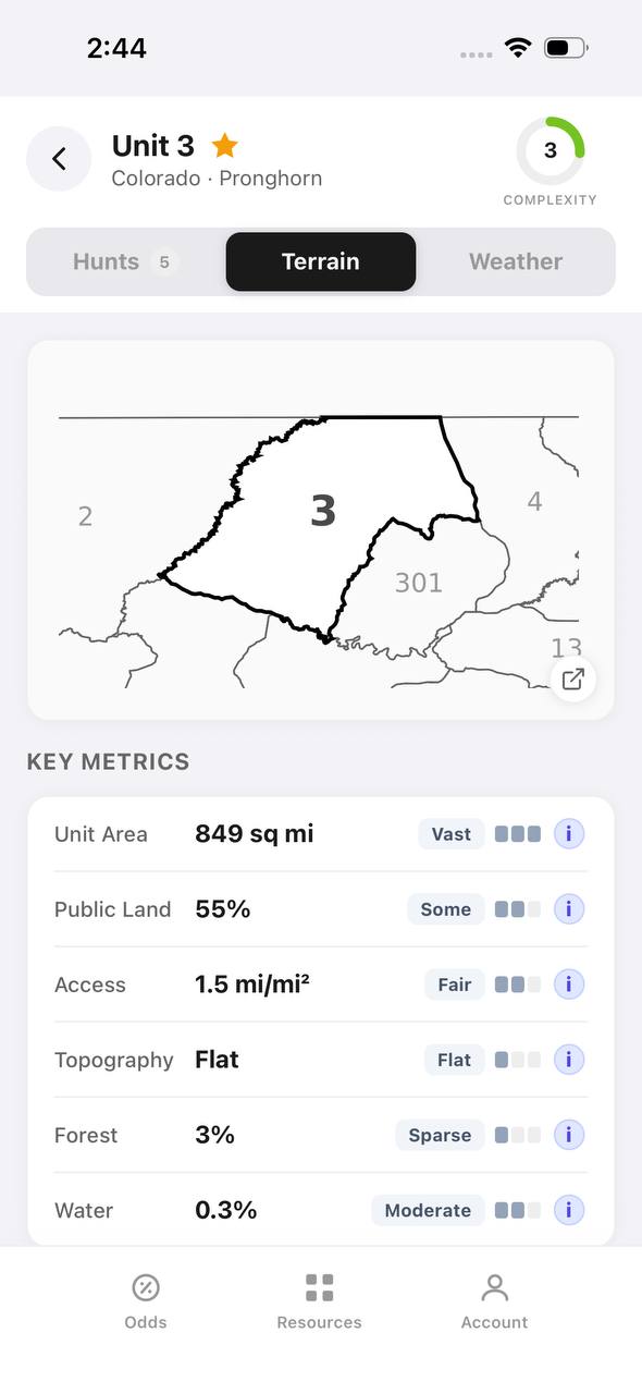
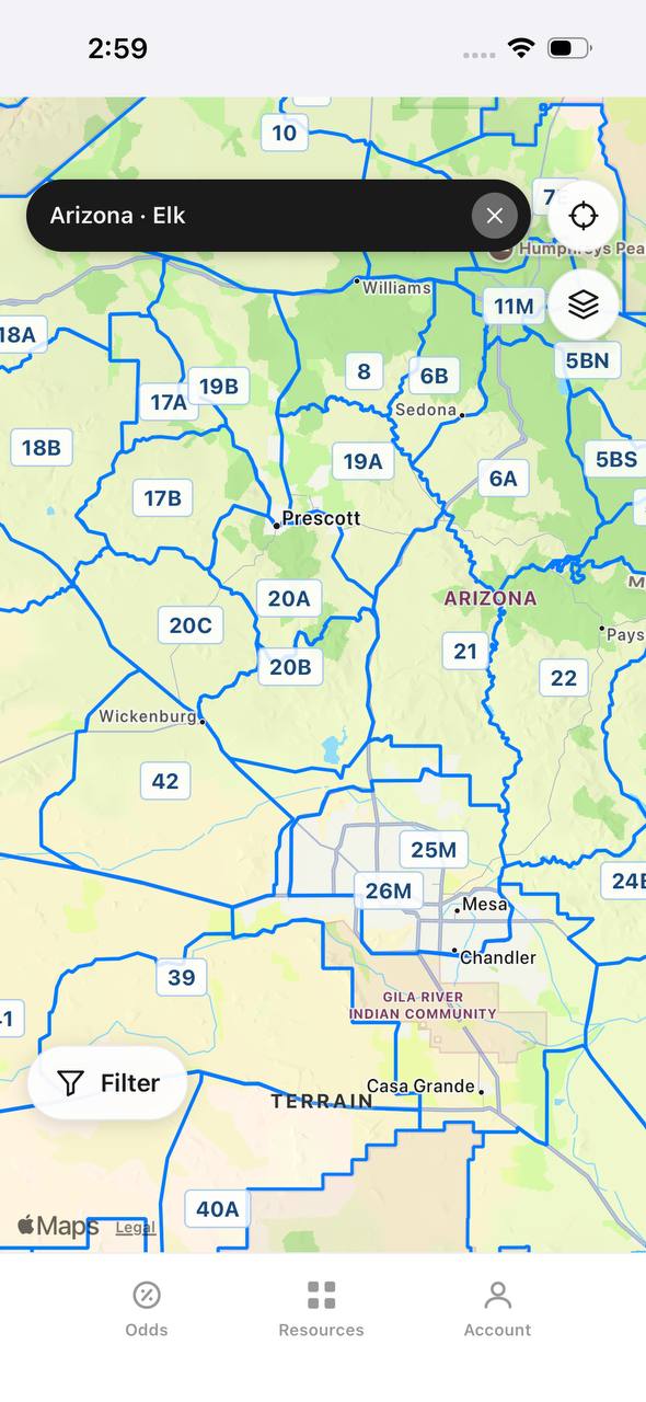
Use TAGZ to compare units side by side with terrain maps and unit boundaries. Understand which units offer the best combination of draw odds and bear density. Track draw deadlines across states so you never miss an application window. TAGZ simplifies the planning process so you can focus on the hunt itself.
FAQ — Bear Tracking
How do you tell the difference between black bear and grizzly tracks?
Grizzly tracks are larger with longer, straighter claw marks that extend 2–3 inches beyond the toes. Black bear claws curve more and are shorter. Grizzly front tracks typically exceed 6 inches in width.
What is the best way to age bear tracks?
Check edge sharpness and moisture. Fresh tracks have crisp edges and damp soil inside. Tracks older than 12 hours show crumbling edges and dried interiors. Cross-reference with scat and feeding sign for confirmation.
Do bears use the same trails repeatedly?
Bears use the same general travel corridors — ridgelines, creek bottoms, game trails — but do not follow exact paths daily. They revisit productive feeding areas but approach from different angles based on wind and terrain.
How fresh does sign need to be before you start tracking?
Sign less than 24 hours old is ideal. If tracks, scat, and feeding sign are all fresh and clustered in one area, the bear is likely close and will return.
Can you track bears in the rain?
Yes, but rain washes away scent and obscures tracks quickly. Focus on protected areas under tree cover where sign survives longer. Rain can also concentrate bears in feeding areas, making glassing more productive than tracking.
What time of day is best for tracking bears?
Early morning after bears finish feeding and before they bed. You will find the freshest sign along travel routes between feeding and bedding areas. Late afternoon works for setting up on feeding areas before evening activity.
Continue Planning Your Hunt
Bear tracking is a learned skill that improves with every hunt. The more time you spend reading sign and understanding bear behavior, the better you become at predicting movement and closing the distance. Combine tracking skills with smart hunt planning using TAGZ to maximize your opportunities.
Explore more bear hunting strategies and state-specific insights on the TAGZ Insights page. Compare draw odds, research units, and track application deadlines across multiple states using TAGZ. Whether you are planning your first bear hunt or your fiftieth, TAGZ gives you the data and tools to make confident decisions. Check out TAGZ pricing to get started.
Was this article helpful?
Previous
Best Moose Ammunition: Calibers, Bullets, and Loads for Clean Kills
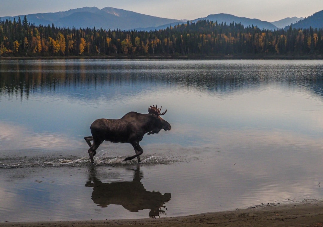
Moose demand heavy, controlled-expansion bullets that penetrate deep through thick hide and bone. We break down proven calibers, bullet construction, and commercial loads that deliver reliable performance on North America's largest deer.
Related
Backcountry Camping for Western Hunters — Gear, Setup, and Proven Tactics
Master backcountry camping strategies that extend your range, reduce pressure, and put you closer to elk, mule deer, and other big game in remote western units.
Next
How to Age Mule Deer on the Hoof — Field Judging Buck Age Classes
Learning to age mule deer bucks in the field helps hunters make informed harvest decisions and improves long-term herd management. This guide covers body characteristics, antler development, and behavioral cues across age classes from yearlings to mature 5+ year olds.