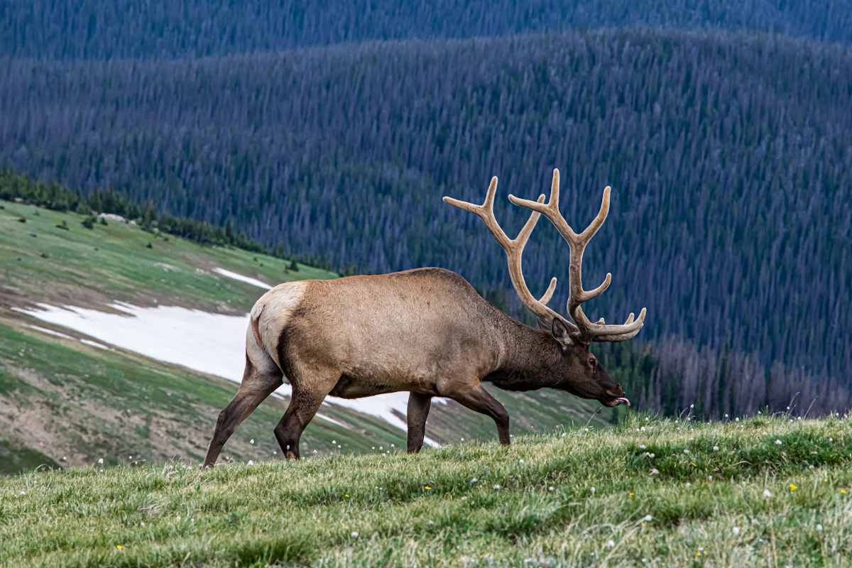
Hidden Meadows Most Hunters Miss: How to Find Off-Trail Elk and Mule Deer Havens
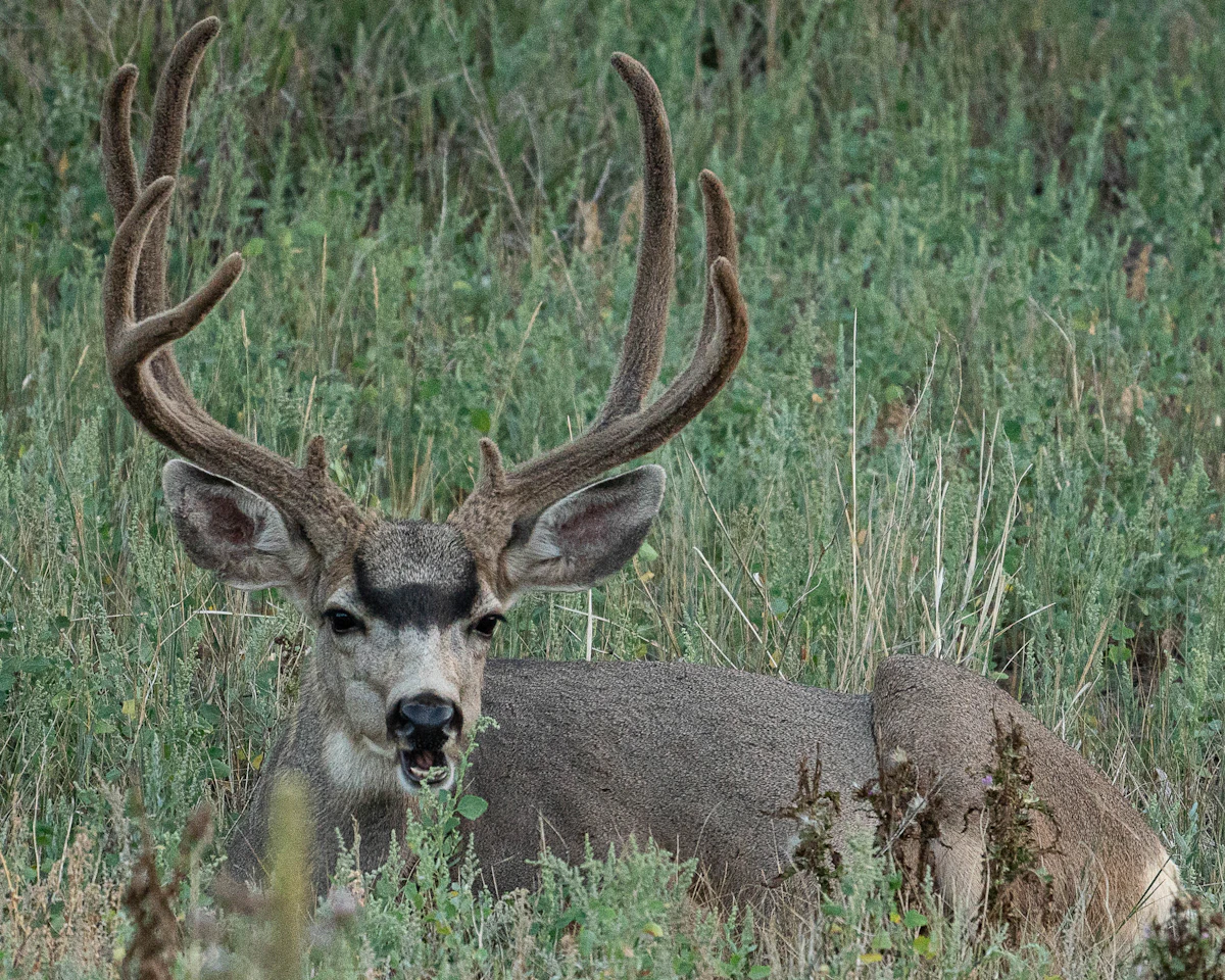
Walk any popular trail during hunting season and you will see boot prints stacked on boot prints. Most hunters follow the path of least resistance, glassing the same ridges and checking the same clearings everyone else does. Meanwhile, elk and mule deer slip into hidden pockets that never see pressure because they sit just far enough off the beaten path that most hunters never discover them.
These hidden meadows are not secret spots guarded by locals. They are overlooked features that blend into the landscape until you learn what to look for. Once you understand how terrain shapes animal movement and where to find these openings, you start seeing opportunities that other hunters walk right past.
Why Hidden Meadows Hold Unpressured Game
Elk and mule deer are pattern animals. They feed in openings at first and last light, bed in timber during the day, and move between the two using terrain that keeps them hidden. When a meadow sits within view of a trail or road, animals learn quickly that it brings hunters. They adapt by shifting to less visible clearings that offer the same feed and security without the risk.
Hidden meadows work because they meet three conditions. First, they sit far enough from trails that most hunters never reach them. Second, they offer quality feed, water, or both. Third, they connect to thick bedding cover through routes that let animals move without exposing themselves.
These spots are not always tiny. Some are several acres of grass tucked into a timbered bowl or a series of small openings connected by finger ridges. What makes them hidden is not their size but their position relative to where hunters spend their time.
How to Identify Hidden Openings on a Map
Start your search on a topographic map or satellite imagery before you ever step into the field. Look for contour lines that suggest flat or gently sloping ground surrounded by steeper terrain. These features often indicate small parks or meadows that sit inside timbered basins.
Pay attention to drainages. Small feeder creeks create moist soil that supports richer vegetation. Follow these drainages uphill on your map and look for breaks in the contour pattern where the slope flattens briefly before climbing again. These benches often hold pockets of grass or forbs that animals visit regularly.
Switch to satellite view and scan for color shifts. Dark green indicates dense timber. Lighter green or tan suggests openings. Many of these small clearings disappear under the canopy in high-resolution images, but you can still spot their edges where the forest breaks.
TAGZ helps you layer unit boundaries, terrain maps, and public land data so you can identify these features without switching between multiple platforms. Use the terrain view to locate benches and saddles, then cross-reference with property lines to confirm access. Filter units by terrain type and species to find areas with the right habitat before you commit to an application.
Reading Terrain Features That Hide Meadows
Hidden meadows cluster around specific terrain features. Learn to recognize these patterns and you will find openings that other hunters never see.
Saddles and passes. Animals cross ridges at the lowest point. Saddles often hold small parks on one or both sides because the terrain flattens just enough to let grass and forbs grow. These spots are natural travel corridors, and animals linger if the feed is good and the cover is close.
Timbered bowls. Look for concave depressions surrounded by ridges. These bowls create microclimates that hold moisture longer than exposed slopes. The result is thicker vegetation and a natural hiding spot for animals that want to feed without being seen from a distance.
Benches below ridgelines. A bench is a flat or gently sloping shelf that interrupts a steep slope. Animals bed on these features because they offer visibility downhill and quick escape routes uphill. Many benches include small meadows where animals feed before moving into timber for the day.
North-facing slopes. These slopes hold snow longer in spring and stay cooler in summer, which means lusher vegetation. Small openings on north faces often go unnoticed because they are harder to glass from standard vantage points and require more effort to reach.
Using Satellite Imagery to Scout Remote Clearings
Satellite imagery lets you confirm what the topo map suggests. Pull up your unit on Google Earth, onX, or TAGZ and scan for light green patches inside darker timber. Zoom in close enough to see individual tree shadows, then look for breaks in the canopy.
Some openings are obvious. Others show up as faint color shifts that you miss if you are scrolling too fast. Slow down and examine every drainage, saddle, and bench. Mark anything that looks promising, then use the elevation profile tool to check if the slope is gentle enough to support grass.
Time of year matters. Late summer or early fall imagery shows vegetation at peak greenness, which makes meadows easier to spot. Spring imagery often shows snow still covering high-elevation openings, which can help you identify features hidden under dense canopy later in the year.
Do not ignore man-made features. Old logging roads, skid trails, and clearcuts create edge habitat that attracts game. These features are not truly hidden, but hunters often overlook them if they have grown over or sit far from current access points.
Glassing Strategies for Finding Hidden Pockets
Once you are in the field, systematic glassing separates hunters who find hidden meadows from those who walk right past them. Set up on a high point with clear sight lines and work methodically through every opening, no matter how small.
Start with distant ridges and work your way closer. Glass slowly, spending more time on each section than feels natural. Hidden meadows often sit in shadows or behind foreground timber, which means you need to examine edges and gaps carefully.
Look for movement first, then shape, then detail. Animals blend into their surroundings, but motion gives them away. A flicking ear, a shifting body, or a head rising from feed catches your eye before you register the animal itself.
Time your glassing sessions around animal activity. First light and last light are prime feeding times, which means hidden meadows show game when other spots stay empty. Set up before dawn and stay through full light, then return in late afternoon and glass until dark.
Do not glass from the same spot every day. Animals pattern hunters just like hunters pattern animals. If you sit on the same ridge morning after morning, elk and deer adjust their movement to avoid you. Rotate your vantage points and glass different drainages each day.
Walking Off-Trail Without Getting Lost
Finding hidden meadows means leaving the trail and navigating terrain that lacks obvious landmarks. Carry a GPS unit or smartphone with offline maps and mark your truck, camp, and key waypoints before you start moving.
Use terrain features to navigate. Follow ridges when possible because they keep you oriented and offer natural travel routes. When you drop into drainages, note which direction the water flows and use that to maintain your sense of direction.
Pay attention to game trails. Elk and mule deer create well-worn paths that connect bedding areas to feed. These trails often lead directly to hidden meadows because animals take the most efficient route between cover and food.
If you find a meadow that looks promising, mark it on your GPS and note the approach route. Hidden spots are only valuable if you can return to them reliably, especially in low light or bad weather.
TAGZ lets you save waypoints and track your movement in real time using unit maps and terrain layers. Mark promising meadows as you find them, then review your route later to identify patterns in how animals use the landscape.
When Hidden Meadows Stop Producing
Not every hidden meadow holds game every day. Animals rotate between feeding areas based on food quality, weather, and hunting pressure. A meadow that produces encounters one week might sit empty the next.
Watch for sign. Fresh tracks, droppings, and browse tell you animals are using the area even if you do not see them. Stale sign means the herd has moved on, and you should shift your focus to other locations.
Weather drives movement. Early-season heat pushes animals to higher elevations and north-facing slopes where temperatures stay cooler. Late-season snow moves them downhill to lower slopes where feed is easier to reach. Adjust your strategy based on conditions and expect meadows to cycle in and out of use.
Pressure from other hunters changes everything. If a hidden meadow suddenly shows boot prints or disturbed vegetation, animals will avoid it until the pressure drops. Move on and find another spot rather than waiting for game to return.
What to Do When You Find a Hidden Meadow
You have identified a promising opening on your map, confirmed it with satellite imagery, and located it in the field. Now what?
First, observe without disturbing. Sit back in the timber and glass the meadow from a concealed position. Watch how animals use the space. Do they feed in the center or along the edges? Do they enter from one side consistently? Do they linger or move through quickly?
Second, identify setup locations. Look for spots where you can intercept animals as they approach the meadow or ambush them while they feed. Consider wind direction, shooting lanes, and escape routes.
Third, plan your approach for hunting. Can you reach your setup location in the dark without alerting animals? Will your scent blow away from the meadow? Do you have a clear exit route if you harvest an animal?
Finally, keep it quiet. Hidden meadows stay productive because few hunters know about them. Resist the urge to share your find publicly. You worked hard to locate it. Protect that advantage.
Using TAGZ to Organize Your Hidden Meadow Research
TAGZ helps you move from random exploration to systematic hunt planning. Use the unit comparison tool to evaluate terrain types across multiple states. Filter by species, weapon, and season to narrow your focus, then dive into terrain maps to identify promising drainages, saddles, and benches.
Track your preference points and bonus points so you know which units you can draw this year versus which ones require more patience. Save waypoints for hidden meadows you discover during e-scouting, then access those locations in the field using the mobile app.
The platform layers unit boundaries, public land data, and topographic maps in one place, which means you spend less time switching between tools and more time identifying high-value areas that other hunters overlook.
Thinking Like Animals to Find Their Hideouts
Hidden meadows are not random. They exist because terrain, vegetation, and security come together in ways that meet animal needs while keeping hunters away. The more you understand how elk and mule deer think, the better you get at predicting where those spots are.
Animals want three things: food, water, and safety. They will tolerate inconvenience to get all three in one location. A hidden meadow that sits a mile off the trail but offers rich feed, a spring, and thick escape cover will hold game all season. A meadow twice as large but exposed to constant pressure will sit empty.
Train yourself to see the landscape the way animals do. Where would you feed if you wanted to avoid being seen? Where would you bed if you wanted to watch your backtrail and smell danger coming from below? Where would you move if you wanted to travel between feed and cover without exposing yourself?
Answer those questions and you will find the meadows most hunters miss.
FAQ — Hidden Meadows for Elk and Mule Deer
What makes a meadow hidden if it shows up on satellite imagery?
A meadow is hidden when it sits far enough off standard access routes that most hunters never reach it, even if it appears on maps. Distance from trails, difficult terrain, or lack of obvious landmarks keep these spots overlooked despite being visible in satellite view.
How far off-trail should I go to find unpressured game?
One to two miles from roads and trails often puts you beyond where casual hunters venture. The exact distance varies by terrain difficulty and hunting pressure, but the harder the access, the less competition you face.
Do hidden meadows hold game all season?
No. Animals rotate between feeding areas based on food quality, weather, and pressure. A productive meadow one week may sit empty the next as herds shift to other locations. Monitor sign and adapt your strategy.
Can I find hidden meadows without GPS or satellite imagery?
Yes, but it takes more time. Read topographic maps for benches, saddles, and bowl features, then ground-truth by walking drainages and glassing systematically. GPS and imagery simply speed up the process.
What terrain features are most likely to hide productive meadows?
Saddles, timbered bowls, benches below ridgelines, and north-facing slopes consistently produce hidden openings. These features create microclimates and natural travel corridors that attract game while staying out of sight from standard vantage points.
Are hidden meadows worth the effort for rifle hunters?
Absolutely. Rifle hunters benefit from long shooting lanes and open terrain, but hidden meadows reduce competition and increase encounter rates. Finding these spots gives you higher-quality opportunities even if your tag is valid for heavily hunted units.
Continue Planning Your Hunt
Hidden meadows separate hunters who consistently find game from those who struggle season after season. The difference is not luck. It is preparation, persistence, and willingness to walk farther than everyone else.
TAGZ gives you the tools to identify these spots before you apply for tags. Compare units side by side using terrain maps, unit boundaries, and historical draw data. Track your preference points and bonus points across multiple states so you never miss a draw deadline. Filter hunts by weapon, season, and species to find areas with the right habitat before you commit to an application.
Whether you are chasing OTC tags or planning a trophy limited-entry hunt, TAGZ helps you make smarter decisions before you ever step into the field. Start your research at getmytagz.com and explore more hunt planning strategies on the TAGZ Insights page.
Ready to streamline your application strategy? Check out TAGZ pricing and see how the platform simplifies multi-state hunt planning. Learn more about the tools hunters trust at getmytagz.com/product.
Was this article helpful?
Previous
How to Hunt Elk Near Roads Without Hunting the Crowd
Most hunters assume roadside elk hunting means competing with orange armies. The truth is smarter — targeting micro-terrain features, timing pressure waves, and using access points others ignore can put you on unpressured bulls within a quarter-mile of your truck.
Next
Lip Bawl Bugles Explained: What They Mean and How to Use Them
The lip bawl bugle is one of the most versatile elk vocalizations a hunter can master. Understanding when bulls use it and how to replicate it can turn a quiet morning into a close encounter.