Garmin inReach vs ZOLEO: Which Satellite Communicator Should Hunters Choose?
When you are days into the backcountry chasing elk or glassing for mule deer miles from cell service, a satellite communicator becomes your lifeline. Both Garmin inReach and ZOLEO offer two-way messaging and emergency SOS, but they take different approaches to hardware, subscriptions, and user experience. Choosing the right device means understanding how you actually hunt and which trade-offs matter most when you are in the field.
Hardware: Durability and Display
Garmin builds the inReach line around outdoor ruggedness. The inReach Mini 2 weighs 3.5 ounces and fits in a chest pocket, while the inReach Messenger adds a full keyboard for faster typing. Both models use physical buttons that work with gloves and feature transflective displays readable in direct sunlight. The Mini 2 is rated IPX7 for water resistance — it can handle a dunking in a creek crossing — and its lithium battery runs up to 14 days in standard tracking mode.
ZOLEO takes a smartphone-centric approach. The ZOLEO device itself is a small satellite modem that pairs via Bluetooth to your phone. You compose messages using the ZOLEO app on your iPhone or Android, which gives you a full touchscreen keyboard and the ability to attach photos or voice messages. The ZOLEO hardware is IP68-rated for dust and water resistance and weighs 5.3 ounces. Battery life runs about 200 hours in standard check-in mode.
The core trade-off: Garmin gives you a standalone device that works without a phone. ZOLEO requires your smartphone for full functionality but delivers a better messaging interface when paired. If you prefer to leave your phone in your pack to save weight and battery, the inReach wins. If you already carry your phone for maps and photos and want faster typing, ZOLEO makes more sense.
Subscription Plans and Costs
Both systems require monthly subscriptions, but the pricing structures differ.
Garmin inReach plans start at $14.95 per month for the Safety plan, which includes unlimited preset messages, 10 text messages, and SOS. The Recreation plan costs $34.95 per month and gives you unlimited texting. Garmin charges an annual fee on top of the monthly cost, and you can pause service during the off-season for $4.95 per month.
ZOLEO subscriptions start at $20 per month for 25 messages, with unlimited SOS and check-ins. The $35 plan includes unlimited messaging. ZOLEO has no annual fees and no reactivation charges. You can pause service for $4 per month, and the company offers true month-to-month billing with no contract.
For hunters who only need service during September through November, ZOLEO's cleaner billing structure often saves money. Garmin's annual fees add up if you are only activating service for three months of the year. However, Garmin's $14.95 Safety plan is the cheapest entry point if you primarily need SOS coverage and occasional check-ins.
TAGZ helps you track your hunt planning timeline across multiple states, but managing your satellite communicator subscription separately ensures you have coverage when you need it. Activating service two weeks before your hunt and deactivating it after you pack out keeps costs predictable.
Messaging and Coverage
Both devices use the Iridium satellite network, which provides global coverage. Message delivery times are comparable — typically 30 seconds to a few minutes depending on satellite position and terrain. Neither device works well in deep canyons or thick timber without a clear view of the sky.
Garmin inReach integrates tightly with the Garmin ecosystem. If you already use a Garmin GPS or smartwatch, you can sync waypoints, routes, and tracking data. The inReach also supports custom preset messages that send your GPS coordinates and a pre-written note with one button press. MapShare lets you share your location publicly via a web link, which is useful for letting family track your progress during a multi-day hunt.
ZOLEO routes messages through your existing email address, phone number, or the ZOLEO app. Your contacts do not need the app to communicate with you — they can reply via standard SMS or email, and you receive their responses on the ZOLEO device. This creates a more seamless experience for people back home who are not tech-savvy. ZOLEO also caches recent messages on the device, so you can review your conversation history without needing your phone powered on.
For hunters who value simplicity and want family members to text them normally, ZOLEO delivers. For hunters who want deeper GPS integration and custom waypoint sharing, Garmin's platform is more robust.
Emergency SOS and Response
Both systems connect to the GEOS International Emergency Response Coordination Center for SOS alerts. When you trigger an SOS, GEOS notifies local search and rescue and coordinates with emergency services. The response protocol is identical across both devices.
Garmin includes two-way communication during an SOS event, allowing you to provide updates to rescue coordinators through the device. ZOLEO offers the same capability. Neither device replaces good judgment — an SOS should be reserved for true emergencies, not minor inconveniences.
Optional rescue insurance is available through both companies. Garmin partners with GEOS for SAR coverage up to $1 million, while ZOLEO offers similar protection. These policies cover helicopter extraction, ambulance transport, and rescue team costs. For hunters traveling solo into remote units, the insurance is worth considering.
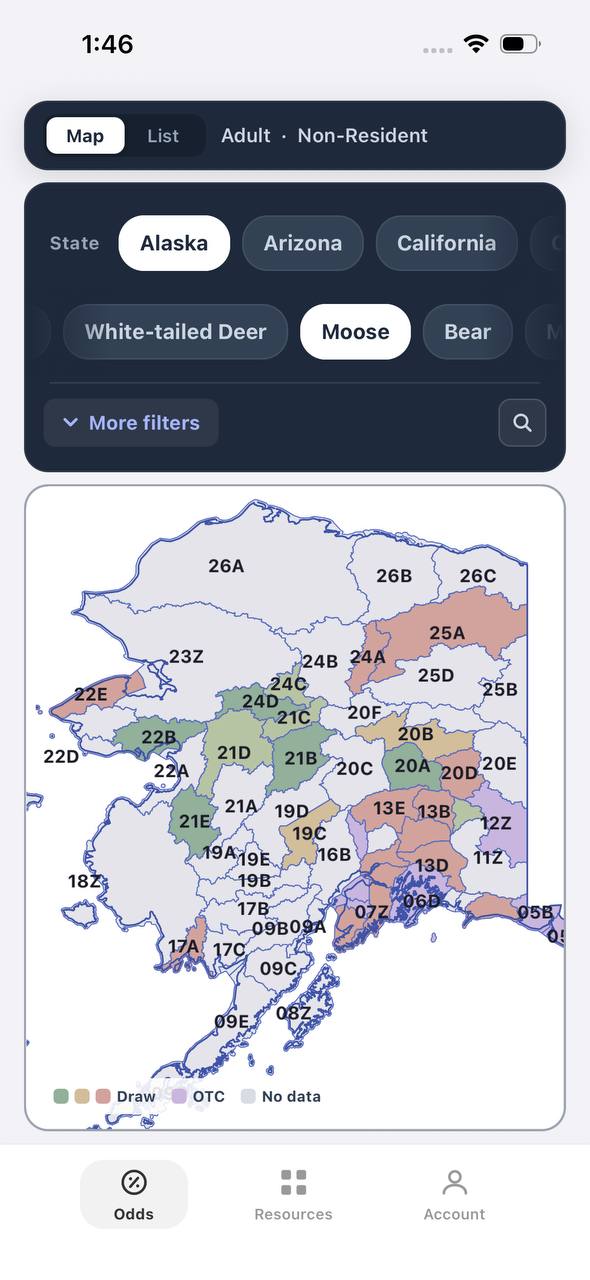
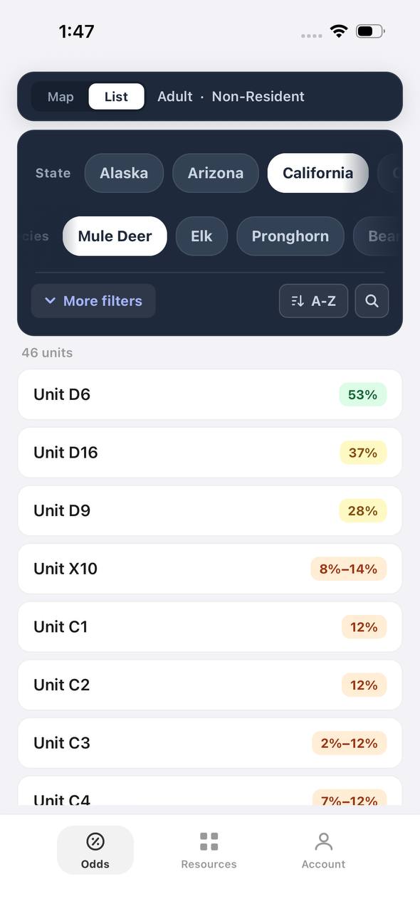
Free to join
Download mobile app
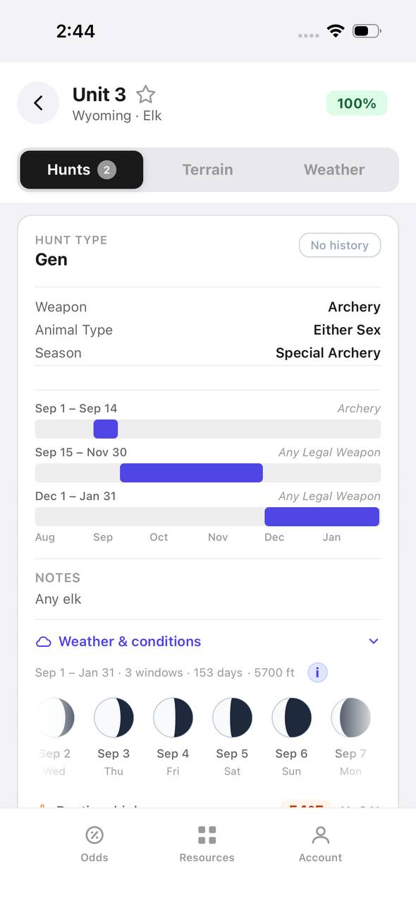
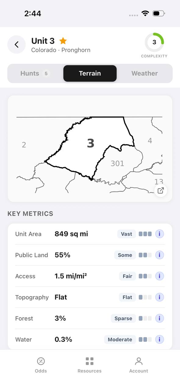
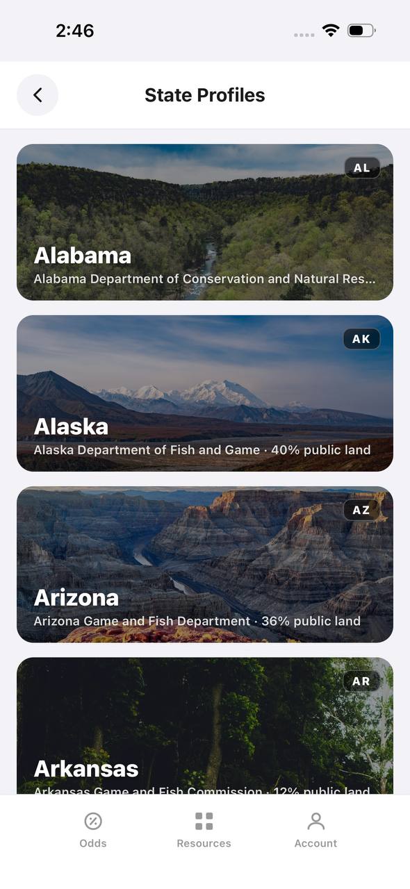
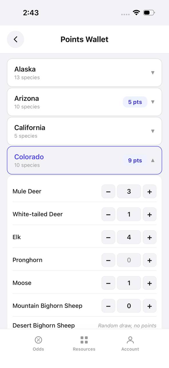
- Detailed draw odds
- Point tracking
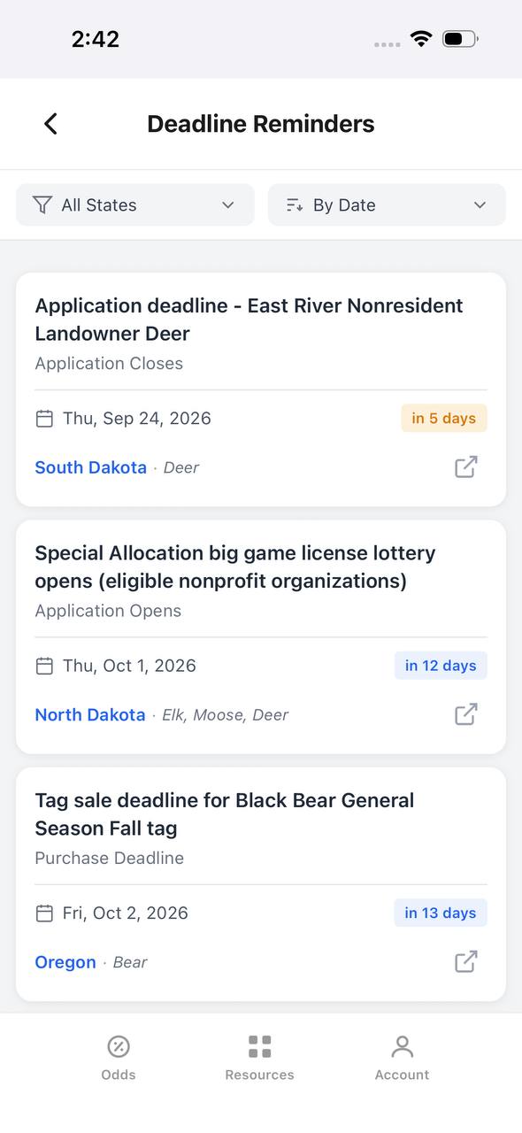
- Deadline reminders
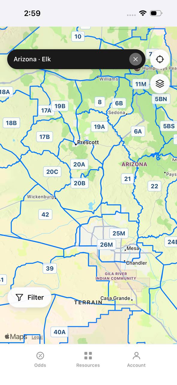
- 18 states covered

Free to join
Download mobile app
- Detailed draw odds
- Point tracking
- Deadline reminders
- 18 states covered
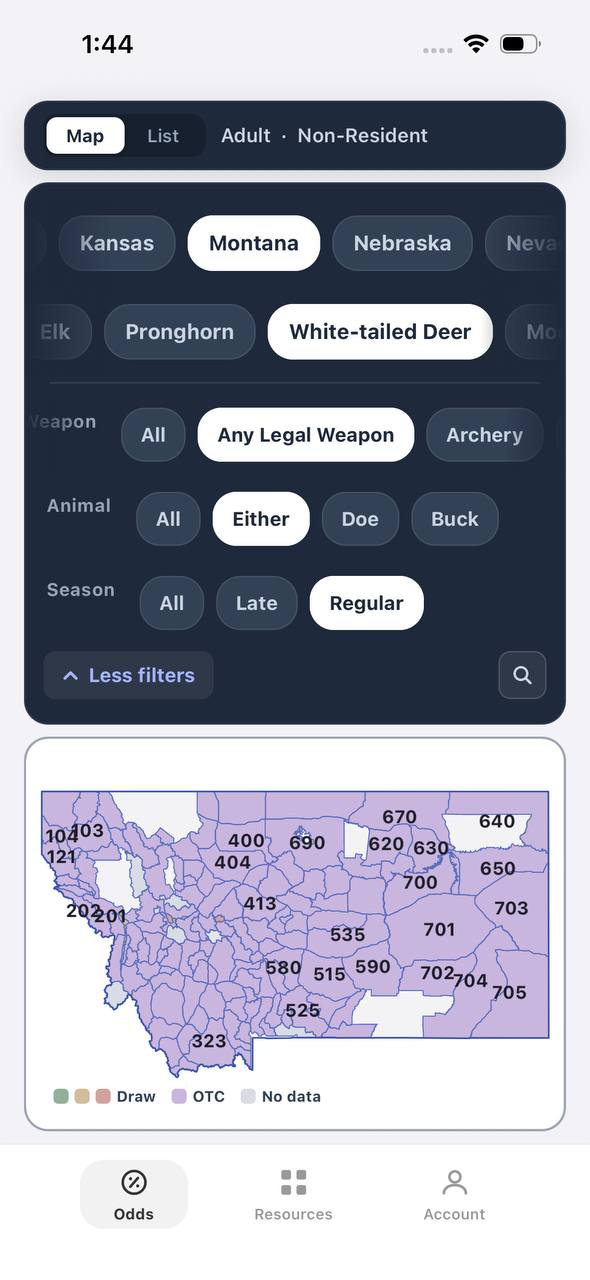
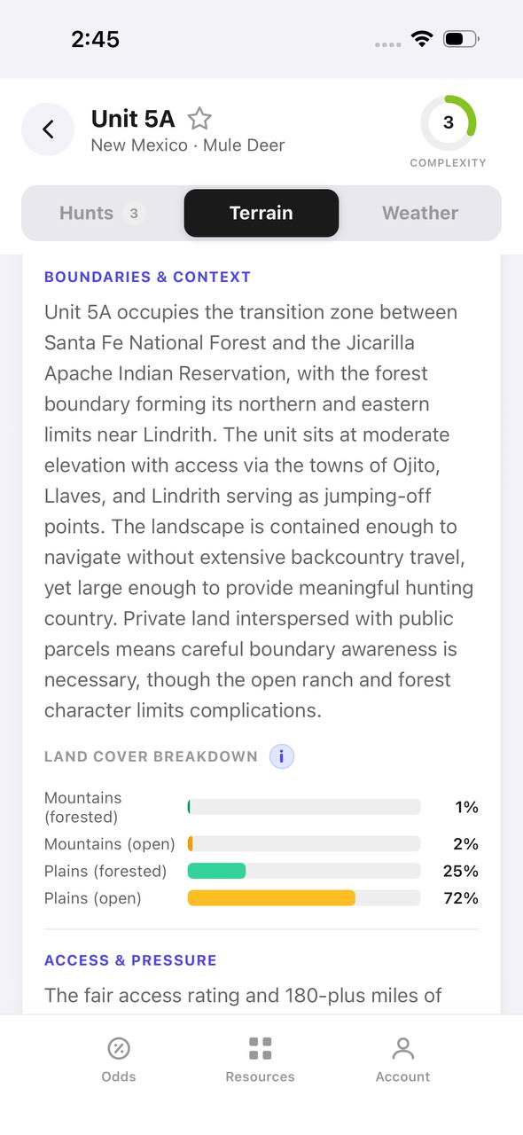
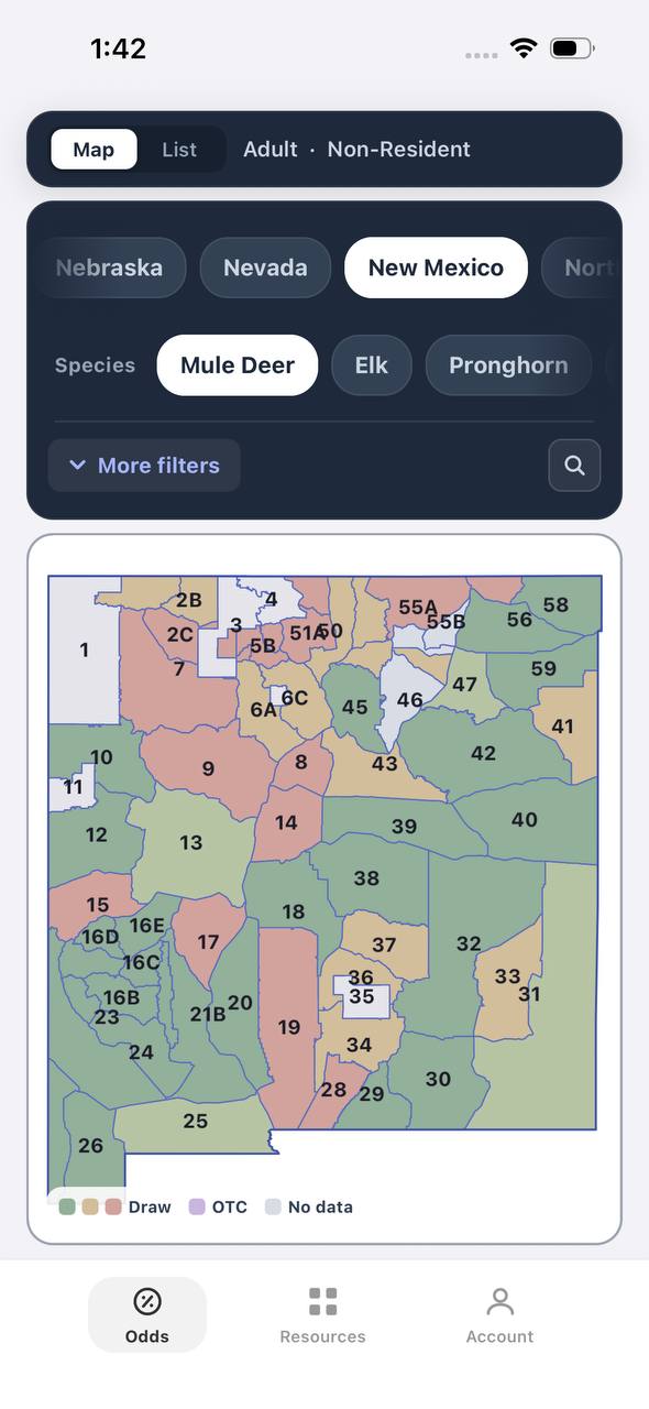
Free to join
Download mobile app
- Detailed draw odds
- Point tracking
- Deadline reminders
- 18 states covered
Battery Life and Field Reliability
Garmin inReach Mini 2 claims 14 days of battery life at the default 10-minute tracking interval, or up to 30 days in power-save mode with less frequent tracking. In real-world hunting conditions — checking in once a day, sending a few messages, and keeping the device on for SOS standby — expect 7 to 10 days between charges. The inReach Messenger has a larger battery and can push two weeks of active use.
ZOLEO's 200-hour battery life translates to roughly eight days of continuous standby. Actual usage depends on how often you send messages and how frequently the device checks in. Because ZOLEO pairs with your phone, managing two devices means managing two batteries. If your phone dies, you lose the messaging interface, though the ZOLEO device will still send and receive basic texts through its paired connection.
Both devices charge via USB-C, and both can be topped off with a portable battery bank. For hunts longer than a week, bringing a 10,000 mAh power bank ensures you can recharge in camp without needing wall power.
Which Device Fits Your Hunt Style
Choose Garmin inReach if you want a standalone device that does not depend on your phone, if you already use Garmin GPS units or watches, or if you need the cheapest entry-level plan. The inReach Mini 2 is the best choice for ultralight hunters who count every ounce, and the Messenger works for anyone who prefers a physical keyboard.
Choose ZOLEO if you already carry your phone for onX or GAIA maps, if you want a cleaner subscription structure without annual fees, or if you value the ability to send photos and voice messages. ZOLEO's app-based interface is faster for composing detailed messages, and the seamless integration with SMS and email makes communication easier for family members back home.
Both devices are proven in the field. The decision comes down to whether you prioritize hardware independence or smartphone integration.
TAGZ helps you plan your hunt from draw strategy to unit selection, but staying connected in the backcountry requires the right communication tool. Whether you choose Garmin or ZOLEO, test the device before your hunt. Send a few messages from your backyard, verify that your emergency contacts are set up correctly, and make sure you understand how to trigger an SOS. The best satellite communicator is the one you know how to use when it matters.
FAQ — Garmin inReach vs ZOLEO
Can you use ZOLEO without a smartphone?
Yes, but functionality is limited. ZOLEO can send and receive basic text messages without a phone, but you cannot compose new messages or access the full messaging interface. The device stores recent messages, so you can review them later when you pair your phone again.
Does Garmin inReach work with iPhones and Android phones?
Yes. The Garmin Explore app works on both iOS and Android. You can pair the inReach to your phone for easier messaging, route planning, and map access, but the device also functions independently without a phone.
Which device has better coverage in canyons or thick timber?
Neither. Both use the same Iridium satellite network, which requires a clear view of the sky. Deep canyons, slot valleys, and dense forest canopy block satellite signals equally for both devices. Move to an open ridgeline or clearing to send messages reliably.
Can you pause your subscription during the off-season?
Yes. Garmin charges $4.95 per month to pause service, while ZOLEO charges $4 per month. Both allow you to reactivate without penalties, making it cost-effective to turn service on only during hunting season.
Do you need separate insurance for helicopter rescues?
No, but it is recommended. SOS alerts are included in both subscriptions, but rescue costs — helicopter extraction, ambulance transport, search teams — are billed separately unless you purchase optional SAR insurance. Both Garmin and ZOLEO offer coverage up to $1 million through GEOS.
Which device is lighter for backpack hunts?
Garmin inReach Mini 2 weighs 3.5 ounces. ZOLEO weighs 5.3 ounces. If you already carry your phone for maps, ZOLEO adds less redundant weight. If you leave your phone behind, the inReach Mini 2 is the lighter standalone option.
Continue Planning Your Hunt
Staying connected in the backcountry is one piece of a successful hunt. Planning which units to apply for, tracking your preference points, and understanding draw odds across multiple states requires a different toolset. TAGZ helps you compare units side by side using terrain maps, unit boundaries, and historical draw data. Track your preference points and bonus points across multiple states so you never miss a draw deadline. Whether you are chasing OTC tags or planning a trophy limited-entry hunt, TAGZ gives you the tools to make smarter decisions before you ever step into the field.
Explore more hunt planning strategies on the TAGZ Insights page. Compare satellite communicators alongside other backcountry gear, research unit-specific terrain breakdowns, and build a complete system for western hunts. When you are ready to turn research into applications, create a free TAGZ account and start filtering hunts by weapon, season, and species. Review TAGZ pricing to see which plan fits your multi-state application strategy, and visit the TAGZ product page to explore features like draw deadline tracking and public land information.
The right satellite communicator keeps you connected when you are miles from help. The right draw strategy puts you in the field with the tag you want. TAGZ handles the second part so you can focus on the hunt.
Was this article helpful?
Previous
Field Judging Moose — How to Score Bulls in the Field
Learn proven techniques for estimating moose antler size in the field, from palmation width to point count. This guide helps hunters make confident harvest decisions on bulls scoring 140 to 200+ inches.

Related
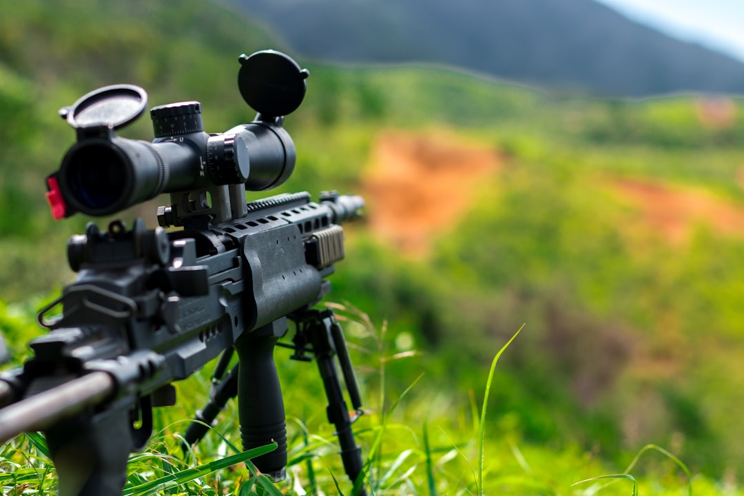
Best Hunting Rifles Under $1,000 for Western Big Game in 2025
Quality hunting rifles under $1,000 have never been better. From backcountry elk to mule deer, these proven rifles deliver accuracy and reliability without breaking the bank.
Next
Best Tires for Hunting Side-by-Sides: Terrain-Tested Picks for Backcountry Access
The right UTV tires determine whether you reach elk camp or get stuck two miles short. We break down the best hunting side-by-side tires for rocky terrain, mud, snow, and mixed conditions based on real backcountry performance.