Satellite Maps for Hunting: How to Scout Smarter in 2026
Satellite maps are the single most useful scouting tool for western hunters in 2026. If you want to find elk, deer, or pronghorn before you ever lace up your boots, nothing else comes close. But there’s a right way and a wrong way to use them.
Why Satellite Maps Matter More Than Ever in 2026
You’re not the only one using satellite imagery these days. With more hunters relying on digital tools, the playing field is changing. The good news is, if you actually know what you’re looking for, you can still get a big edge.
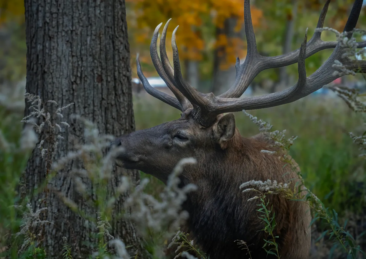
Satellite maps let you see everything from hidden water holes and timber patches to trailheads and two-tracks. For elk, this means finding bedding cover that’s a mile from the nearest road. For mule deer, it’s glassing knobs that give you a view of overlooked basins. If you’re hunting pronghorn, you can map out fence lines and water tanks without wasting gas.
Scouting Terrain and Access Like a Local
Most hunters pull up a satellite map and start dropping pins on obvious spots: big meadows, lakes, or the end of a road. But the real value comes from reading the details — little benches, finger ridges, or dark timber pockets that most folks walk past.
- Pressure: Look for areas with limited road access. If you see multiple ATV trails or a big parking lot, expect company. Instead, find drainages a bit farther from access or spots that require some vertical gain.
- Terrain: Use the topo overlay with satellite imagery to see how steep things really are. North-facing slopes hold elk later in the season. South slopes green up earlier in the spring.
- Water: Mark springs, seeps, and trick tanks. In dry years, these are magnets.
- Escape routes: Animals rarely bed right by roads. Trace out where they’re likely to go when pressured. That’s often where you want to be waiting.
Realistic Expectations: What Maps Can and Can’t Tell You
Satellite imagery is a tool, not a crystal ball. It’ll help you narrow down country fast, but it won’t tell you if a trail is overgrown or if a gate is locked. And just because an area looks remote on a map doesn’t mean it’s untouched — sometimes a well-hidden camp or horse trail brings in pressure you won’t see until boots hit the ground.
Scout digital, but always plan to verify on foot. If you’re short on time, focus on three to five spots you can check in a day. Make backup plans for weather, access, or crowds. Don’t get married to one drainage because it looked good on your laptop.
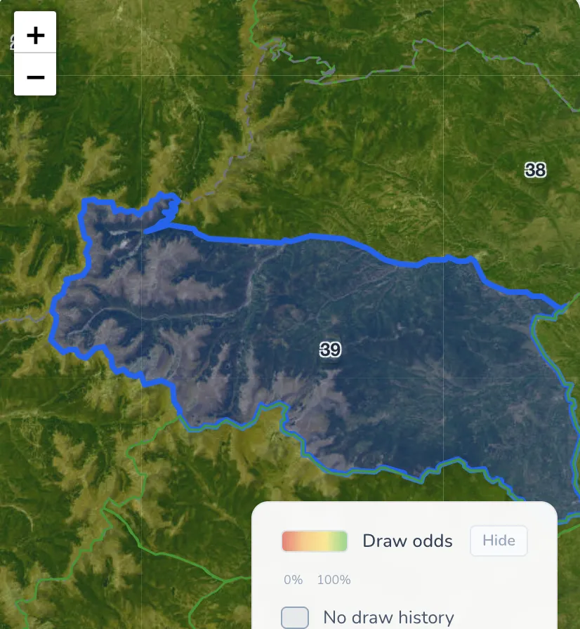
Using TAGZ to Simplify the Hunt Planning Process
Sorting through endless units and trying to guess draw odds is a pain if you’re bouncing between map apps and state websites. That’s where TAGZ comes in handy — you can overlay draw odds, harvest stats, and access info right over satellite maps, all in one place. It saves hours and helps you focus on spots that actually fit your tag and style.
FAQ: Satellite Maps for Hunting in 2026
Q: What’s the best free satellite map for hunting?
A: Google Earth is still solid, but paid apps like OnX or Basemap offer hunting-specific layers that are worth the money if you hunt multiple states.
Q: Can you find elk just by looking at maps?
A: You can find likely elk habitat, but you still need to scout in person. Use maps to focus your efforts, not to replace boots-on-the-ground work.
Q: How do I avoid crowded spots?
A: Avoid obvious trailheads, roads, or meadows close to access. Use maps to identify remote benches or steep terrain most hunters skip.
More Resources for Smart Scouting
If you want to dig deeper into elk behavior, read our western elk pressure breakdown. For help choosing a unit, check out our draw odds strategies.
Was this article helpful?
Previous
Scouting Water Sources: The Real Key to Finding Western Big Game in 2026
Water sources shape western hunts in 2026. Learn how to scout, what to expect, and why finding the right water can be the difference between punching a tag or going home empty.
Next
Public Land Access Strategy: Real Tactics for 2026 Western Hunts
Public land hunting is more challenging than ever. Learn how to approach access, pressure, and scouting for a smarter 2026 hunt.