Hunt Smarter: Navigation Skills Every Western Hunter Needs
You spot a bull elk bedded in dark timber 800 yards across the canyon. The wind is perfect, but getting there means navigating through deadfall, sidehills, and finger ridges you cannot see from your current position. This is where navigation separates successful hunters from those who spook game, waste daylight, or worse — get turned around miles from camp.
Every western hunt demands navigation skills beyond following a trail. Whether you are chasing rutting bulls in Colorado's Flat Tops or glassing mule deer in Nevada's high desert, your ability to read terrain, use technology, and move confidently through unfamiliar country directly impacts your success and safety.
Why Navigation Matters More Than Ever
Public land hunting means fewer trails, more competition, and bigger country. Modern GPS units and smartphone apps have made it easier to venture deeper, but technology alone does not replace skill. Batteries die. Satellites lose signal in canyon bottoms. The hunters who consistently fill tags are those who combine digital tools with traditional map reading and terrain awareness.
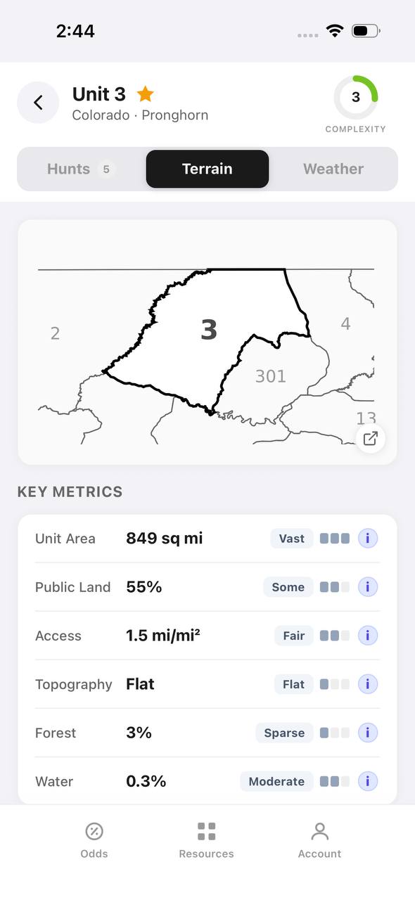
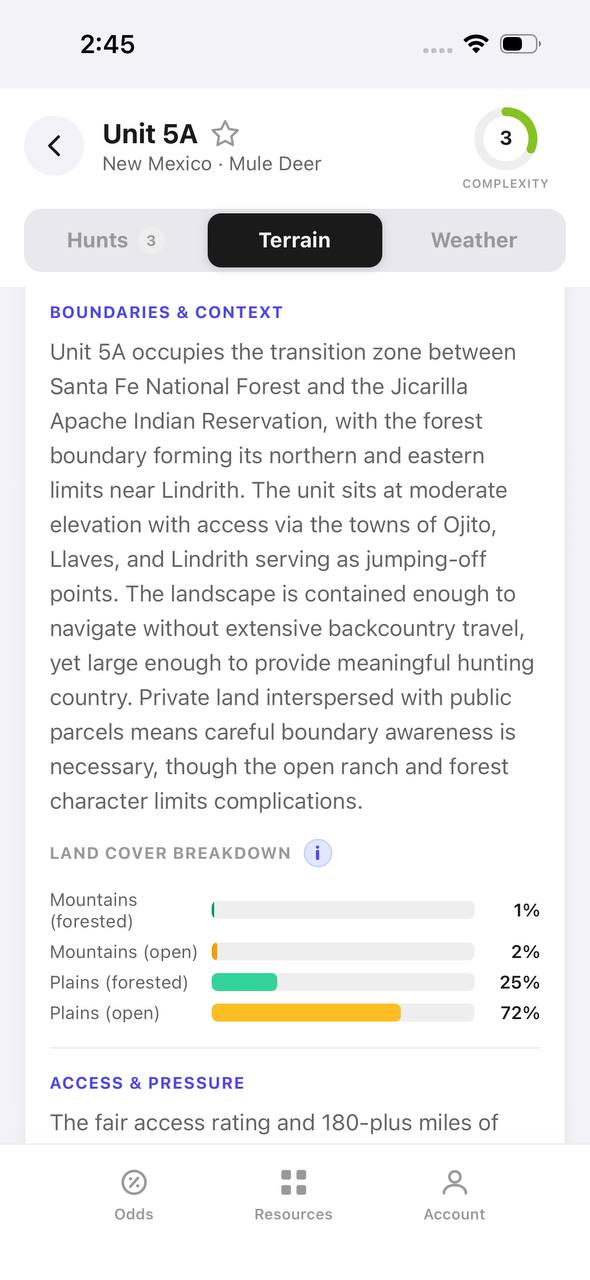
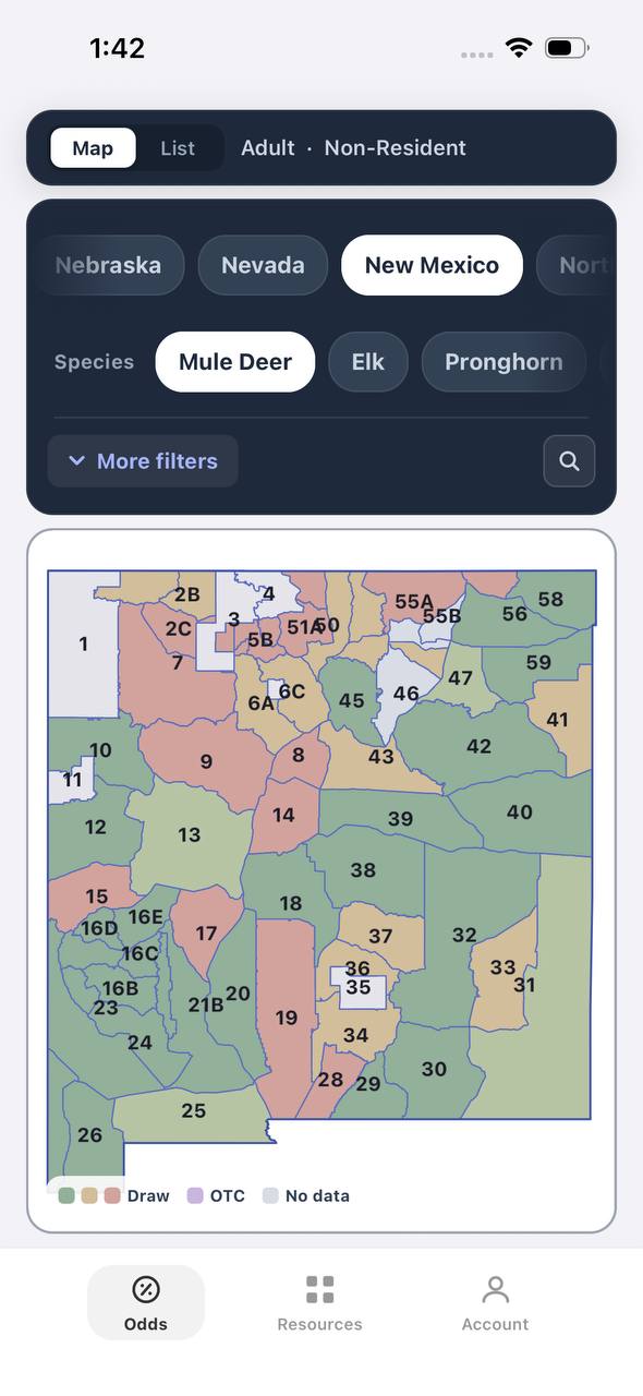
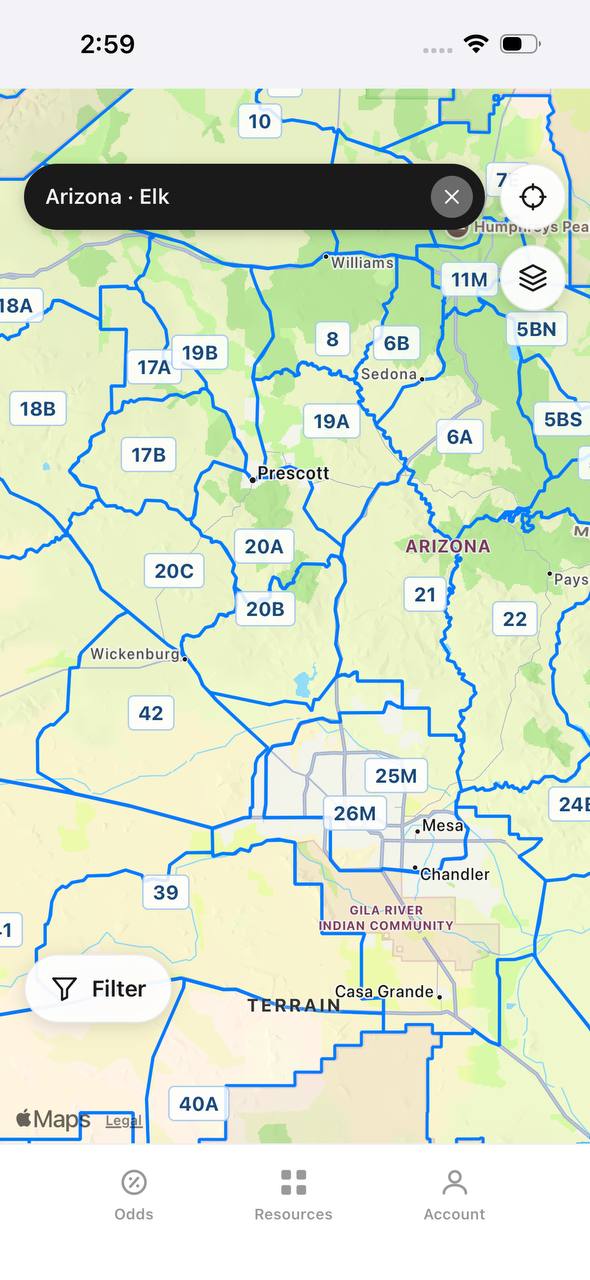
Navigation also keeps you legal. Unit boundaries, wilderness borders, and private property lines often run along ridgelines or creek drainages with no physical markers. Crossing a boundary by 50 yards can cost you a tag, a trophy, and thousands in fines. TAGZ provides unit boundary maps and public land overlays, but knowing how to verify your position in real time is your responsibility.
GPS Units vs. Smartphone Apps: What Works Best
Dedicated GPS units like Garmin inReach or Montana models offer longer battery life, better durability, and more reliable satellite reception than phones. They are purpose-built for backcountry use and less prone to failure when temperatures drop or you take a hard fall crossing scree.
Smartphone apps like onX Hunt, HuntStand, and BaseMap have closed the gap. They deliver high-resolution satellite imagery, property boundaries, and offline maps in a device you already carry. The tradeoff is battery drain and fragility. Most experienced hunters now run both — a phone for detailed planning and glassing sessions, and a GPS unit as the primary navigation tool once boots hit the ground.
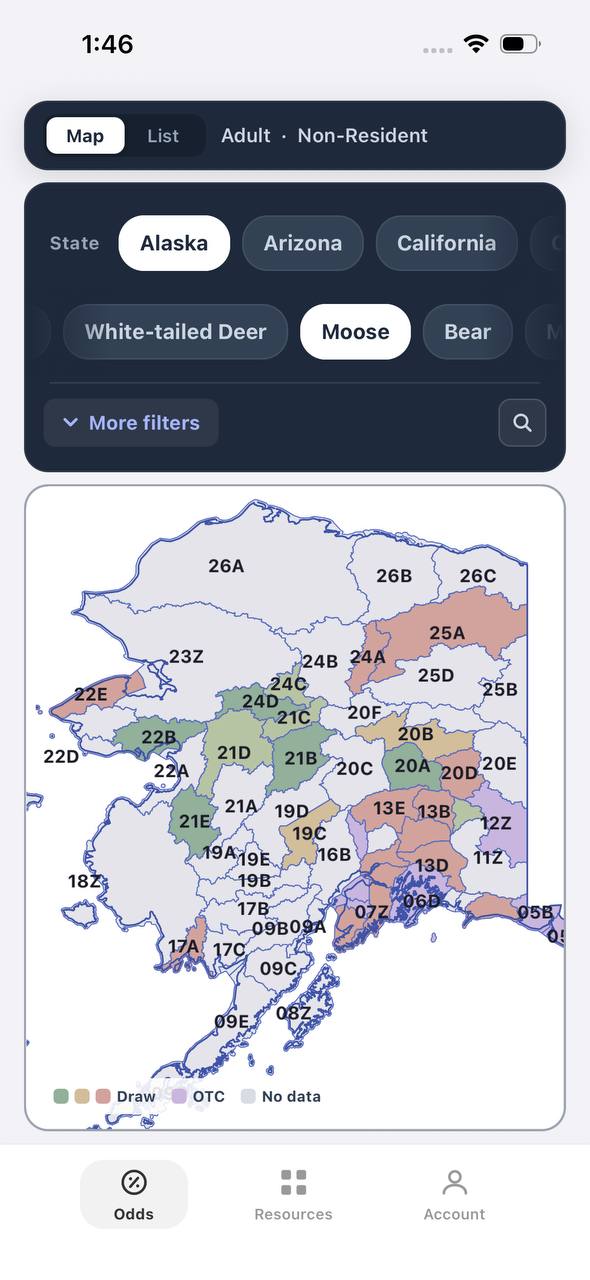
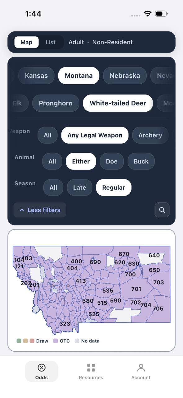
Offline maps are non-negotiable. Download your hunt unit, surrounding GMUs, and access routes before you leave cell service. A live connection cannot be trusted beyond trailheads. TAGZ users can cross-reference draw data with unit maps to identify less-pressured zones within a GMU, then download those specific areas for offline scouting.
Waypoints: Mark What Matters
Waypoints are your digital breadcrumbs. Mark truck locations, water sources, glassing knobs, game trails, and any spot where you plan to return. Use a consistent naming system — "Camp," "Water_1," "Bugle_Ridge," "Deadhead_0923" — so you can identify points quickly when scrolling through a list in low light.
Drop a waypoint every time you find fresh sign, jump animals, or locate a vantage point worth revisiting. Mark the exact spot where you last saw a wounded animal. In thick timber or complex canyon systems, breadcrumb waypoints every few hundred yards create a track you can backtrack in darkness or weather.
Avoid cluttering your map with junk waypoints. Delete points after the hunt or archive them in separate folders by year and unit. Too many pins slow down your device and make critical points harder to locate when it matters.
Map and Compass: The Backup That Always Works
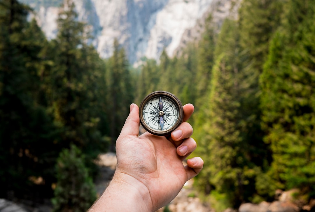
Every hunter should carry a paper topo map and compass, even if you never plan to use them. Electronics fail. A $15 baseplate compass and a waterproof map folded in your pack can get you out when everything else dies.
Practice taking bearings before the hunt. Identify a distant landmark on the map, shoot a bearing with your compass, and walk that line in open terrain. Learn to triangulate your position using two or three known peaks. These skills feel academic until your GPS screen goes black five miles from the trailhead.
Paper maps also provide context that digital screens cannot match. A full topo spread across your truck hood lets you see entire drainages, identify parallel ridges, and plan approach routes that a phone's zoomed-in view obscures. Use your map to visualize the hunt zone before you step out, then rely on digital tools for real-time precision.
Free to join
Download mobile app
- Detailed draw odds
- Point tracking
- Deadline reminders
- 18 states covered

Free to join
Download mobile app
- Detailed draw odds
- Point tracking
- Deadline reminders
- 18 states covered
Free to join
Download mobile app
- Detailed draw odds
- Point tracking
- Deadline reminders
- 18 states covered
Reading Terrain in Real Time
Good navigation is more than following a line on a screen. It is recognizing that a saddle funnels game movement, that a north-facing slope holds moisture and feed, and that a bench 200 feet below a ridgeline offers concealment for your final stalk.
Contour lines tell the story. Tight lines mean steep terrain — harder to climb, easier to spook animals, better glassing from above. Wide-spaced lines indicate gentle slopes where game spreads out and visibility decreases. Saddles and benches appear as dips or flat spots in otherwise consistent contour patterns. Learn to visualize three-dimensional terrain from two-dimensional lines, and you will anticipate obstacles and opportunities before you reach them.
Pay attention to how the landscape matches your map. If you expect a creek crossing and find dry ground, recheck your position. If a ridgeline should run east-west but the sun says otherwise, stop and confirm. Small mistakes compound quickly in big country.
Staying Found: Techniques That Prevent Getting Lost
Getting lost starts with poor awareness, not bad navigation tools. The best prevention is constant position tracking. Glance at your GPS or map every 15–20 minutes, not just when you realize you are unsure. Note landmarks — a burned snag, a rockslide, a distinctive drainage — and associate them with your map.
Always know your back bearing. If you are heading northeast into a basin, you need to reverse southwest to get out. Check your compass heading when you leave camp and write it in your field notes. This simple habit has saved countless hunters who lost the trail or got turned around in timber.
If you do become disoriented, stop moving. Sit down, drink water, and study your surroundings. Check your last known waypoint and estimate time and direction traveled since then. Most hunters panic and walk farther into trouble instead of pausing to think their way out. Trust your tools, stay calm, and retrace your steps if necessary.
Advanced Tactics: Using Navigation to Find Unpressured Animals
The best hunters use navigation to avoid other hunters. TAGZ shows you where units border wilderness areas, roadless zones, or landlocked public parcels that require access easements. These spots demand better navigation skills, which filters out casual hunters and pushes animals into predictable patterns.
Identify terrain features that concentrate game — water sources in dry units, thermal cover on hot September afternoons, feed zones adjacent to bedding timber. Mark these as waypoints during e-scouting, then navigate to them before dawn instead of parking where everyone else does.
Navigation also improves shot opportunities. If you can move quietly and precisely through deadfall using a GPS track instead of crashing around looking for the next opening, you close distance without spooking game. Plan your final approach using terrain to mask movement, then trust your navigation to put you exactly where you need to be.
Battery Management and Backup Power
A dead GPS is worthless. Manage power aggressively. Lower screen brightness, disable Bluetooth and Wi-Fi, and use airplane mode when you do not need active tracking. Most units last two to four days on a charge with conservative use, but cold weather cuts that in half.
Carry backup power. A 10,000mAh battery bank adds 8 ounces and provides multiple phone or GPS recharges. Lithium batteries outperform alkaline in cold weather. Store batteries inside your jacket at night to prevent freezing.
Test your full setup before the hunt. Run your GPS continuously for six hours while hiking to see real-world battery drain. Know how long your phone lasts with onX running in the background. Do not learn these numbers the hard way.
FAQ — Western Hunting Navigation
What is the best GPS unit for backcountry elk hunting?
Garmin inReach models combine GPS navigation with satellite communication, letting you send messages and SOS alerts from anywhere. The Montana series offers larger screens and longer battery life without communication features.
Can I rely on my smartphone for navigation in remote units?
Yes, but only with offline maps downloaded and a backup power source. Phones work well for most hunts but are more fragile and battery-dependent than dedicated GPS units. Serious backcountry hunters carry both.
How do I mark a blood trail if my GPS battery dies?
Use flagging tape or toilet paper tied to branches every 20–30 yards. Mark the direction of travel and note landmarks. A compass bearing to the last blood and a written description in your field notes provide backup.
What mapping app works best for western hunting?
onX Hunt dominates western hunting for unit boundaries, landownership, and offline topo maps. HuntStand and BaseMap offer similar features at lower price points. TAGZ integrates unit data and draw odds with your chosen app.
Do I need a paper map if I have a GPS?
Yes. Electronics fail, and a waterproof topo map with a compass weighs ounces. The best insurance is redundancy — digital tools for precision, paper for backup and big-picture planning.
How do I practice navigation skills before my hunt?
Hike local trails with your GPS off, navigating only by map and compass, then check accuracy with your device. Practice waypoint marking, bearing shooting, and position triangulation in terrain similar to your hunt unit.
Continue Planning Your Hunt
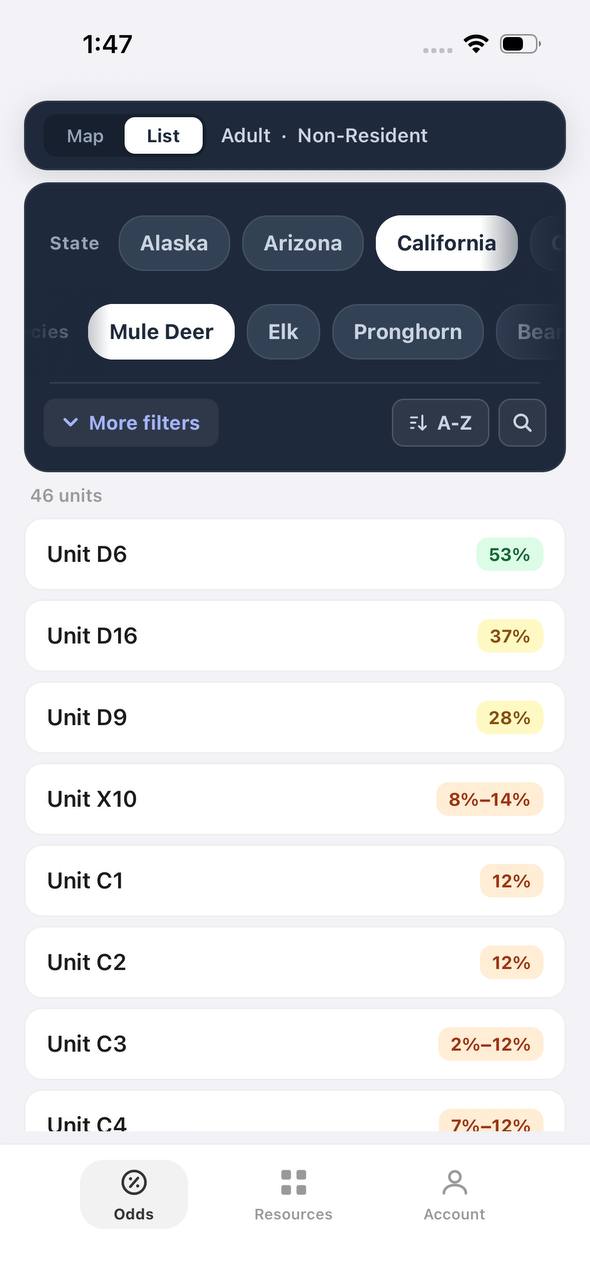
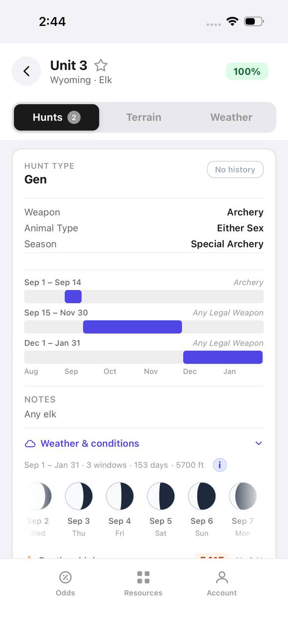
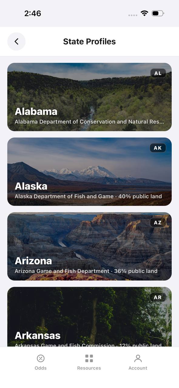
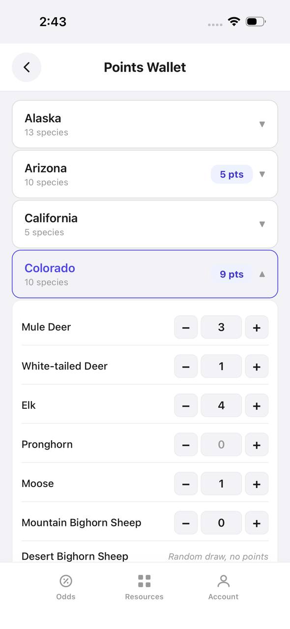
Navigation is one piece of a successful hunt strategy. Draw odds, unit selection, and timing all determine whether you ever make it to the mountains. TAGZ helps you research units, track preference points across multiple states, and plan applications so you are hunting the right place at the right time. From terrain maps to draw deadline tracking, TAGZ gives you the tools to make confident decisions before you ever step into the field.
Explore more hunt planning resources on the TAGZ Insights page, compare units side by side using the TAGZ platform, or start building your western hunting strategy by checking current pricing.
Was this article helpful?
Previous
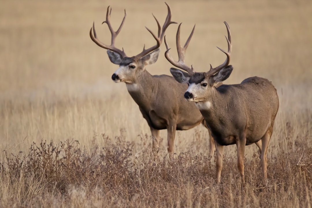
Mule Deer Rut Explained: Timing, Behavior & Hunting Strategies
The mule deer rut peaks in mid-November across most of the West, when bucks chase does, compete for dominance, and become more vulnerable to hunters who understand rut behavior and timing.
Related
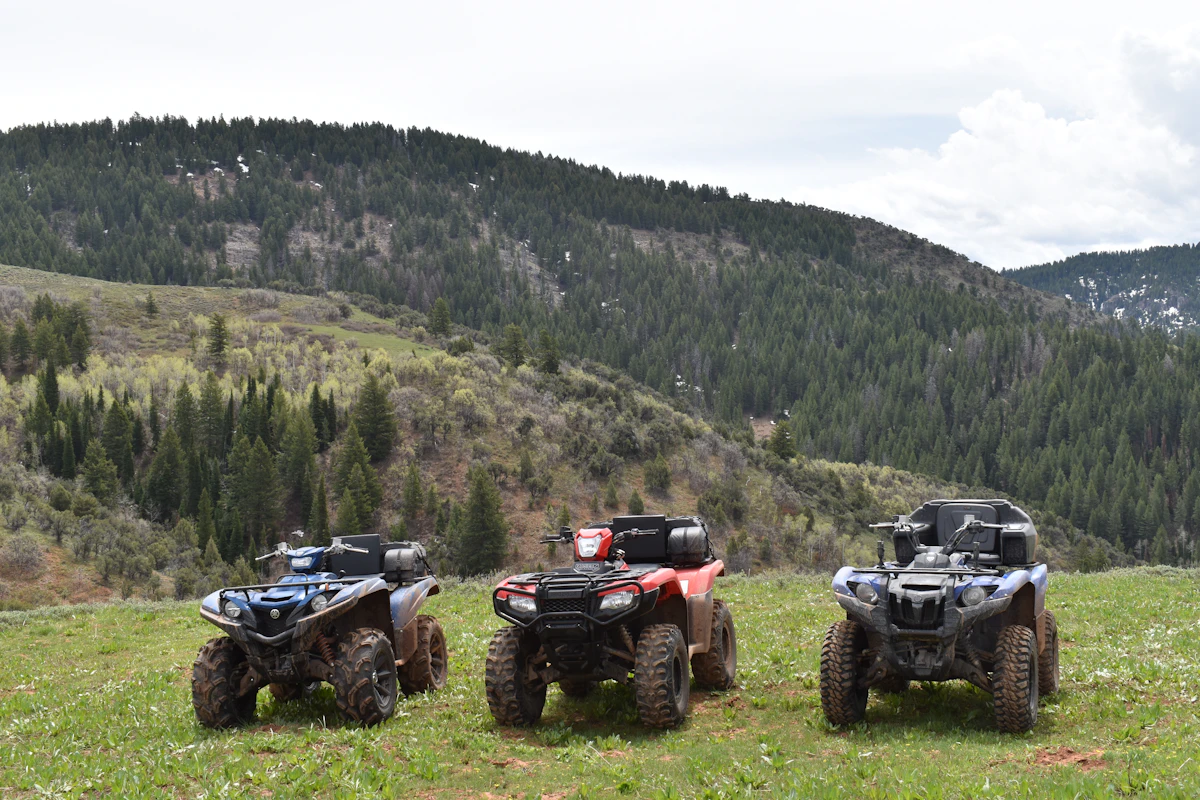
Best ATVs for Western Hunting: Models Built for Backcountry Access
Choosing the right ATV for western hunting means balancing payload capacity, fuel range, and terrain capability. We break down the top models that actually perform in alpine basins, desert flats, and steep canyon country.
Next
Best Cow Calls for Elk Hunting: Field-Tested Picks That Actually Work
The right cow call can mean the difference between filling your tag and watching bulls ghost past out of range. We break down the best elk cow calls for every hunting style, from aggressive September bugling setups to late-season coaxing.
