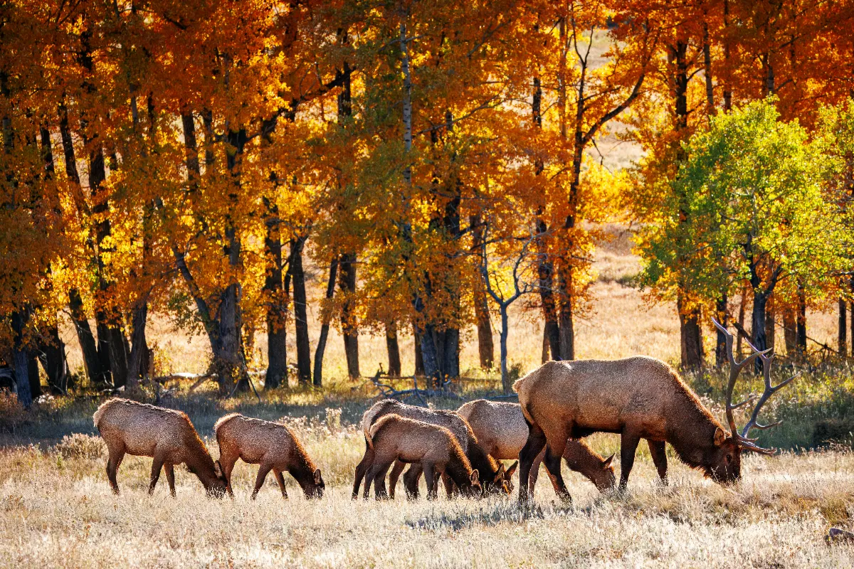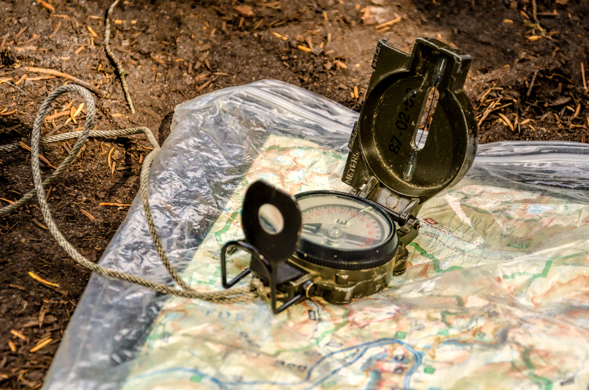
If you want to hunt smarter, kill more elk or deer, and avoid crowds, you need to know how to read topo maps. GPS and apps are great, but topo lines still tell you where the animals hide and where most hunters blow it.
Why Topo Maps Matter More Than Ever
Western units are getting more pressure every year. Elk and deer don’t just vanish; they shift to the cover and terrain that most folks walk right past or avoid altogether. Topo maps are the tool that separates a hiker from a hunter. If you can’t look at lines and picture the country, you’re missing out on half the game.
Breaking Down the Lines: What You’re Really Seeing
It’s pretty simple once you get the hang of it. Each contour line shows a certain elevation — the closer the lines, the steeper the ground. Spacing out means flatter ground. Here’s what I look for:
- Benches: Flat spots (wide gaps between lines) on otherwise steep slopes. Elk love bedding on benches, especially with cover and escape routes.
- Saddles: Low points between two peaks. Animals cross here to avoid climbing. Great ambush spots, but so do other hunters.
- Drainages and Fingers: Look for V-shaped lines pointing uphill. These are draws where water flows. Steep, brushy, and usually full of tracks and beds. Elk and deer use them to move and escape.
- Ridges: Long, narrow high ground (lines forming a spine). Good for glassing and travel, especially early and late.
- Hidden Pockets: Little bowls or depressions tucked away from main trails. If you see a spot with tricky access and cover, mark it — those are gold.
Pressure, Access, and Realistic Expectations
Not every feature is a secret honey hole. Most guys crowd trailheads, easy ridges, and obvious saddles. If a bench is a half-mile from a road, expect company. I look for features that take effort or creativity to reach — deadfall-choked drainages, benches behind private land (with public access routes), or gnarly north-facing slopes.
Understand your limits. Steep country on a map is even steeper underfoot. If you can’t pack an elk out of that canyon, don’t hunt it. Use topo maps to balance ambition with realism.
Scouting and E-Scouting With Topo Maps
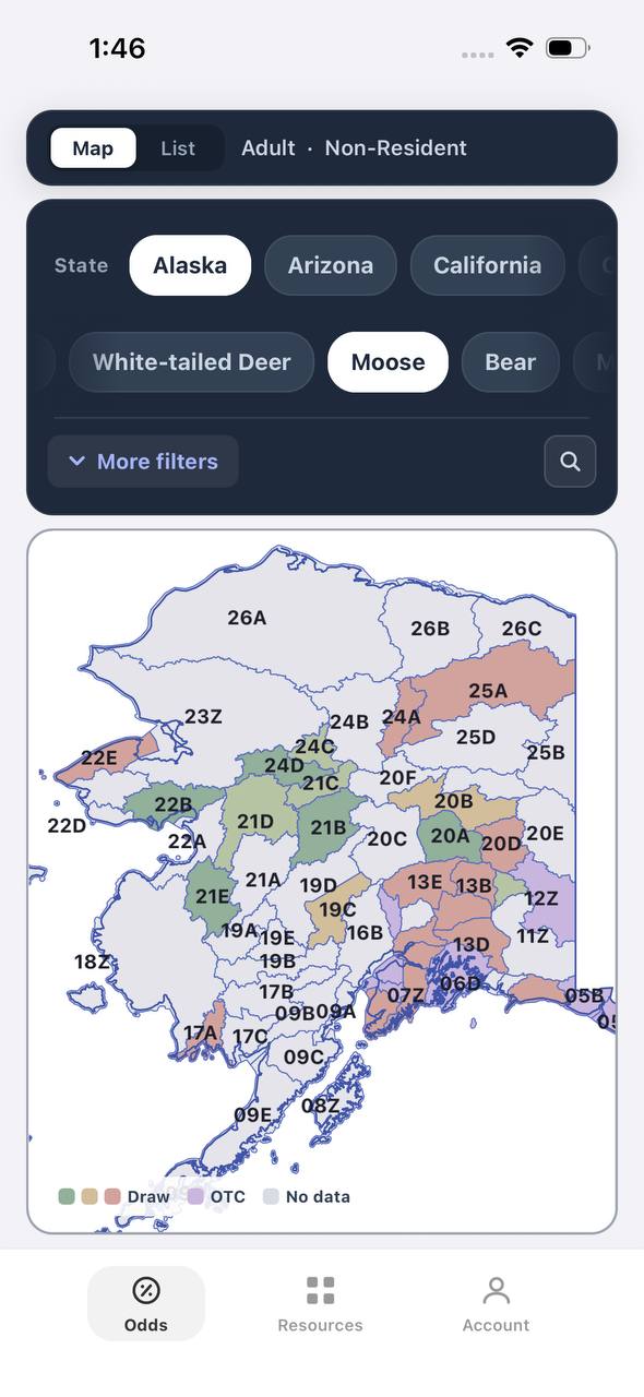
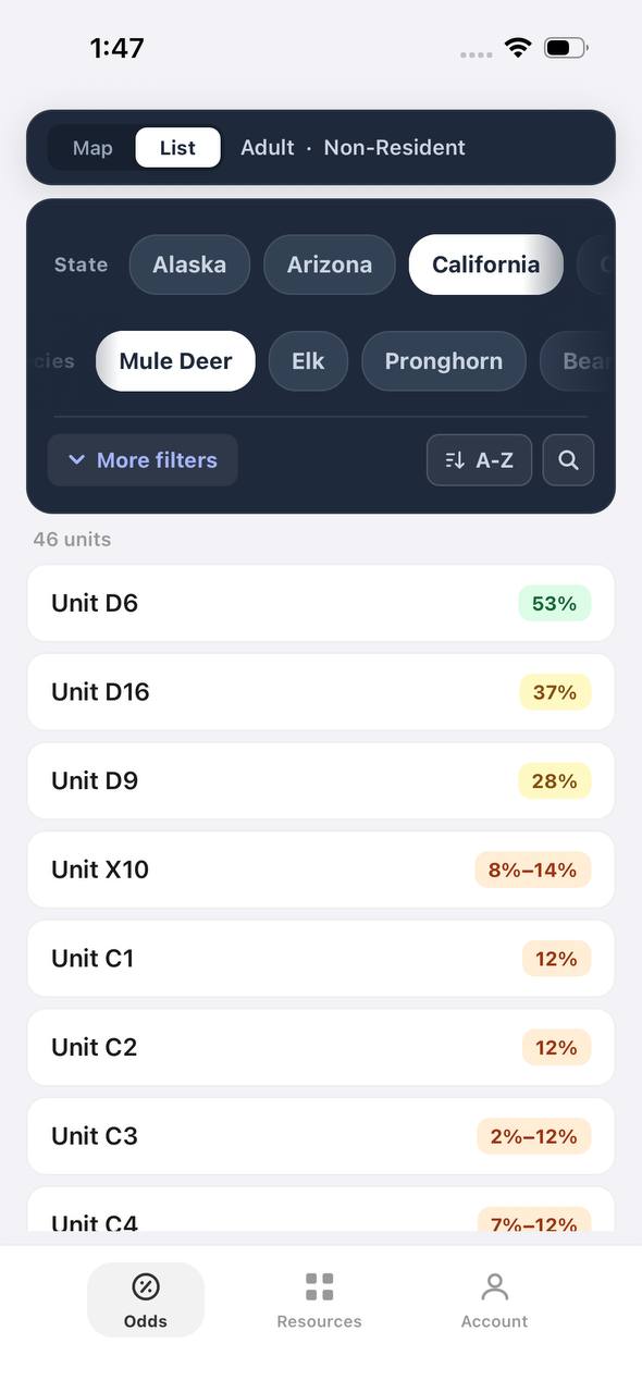
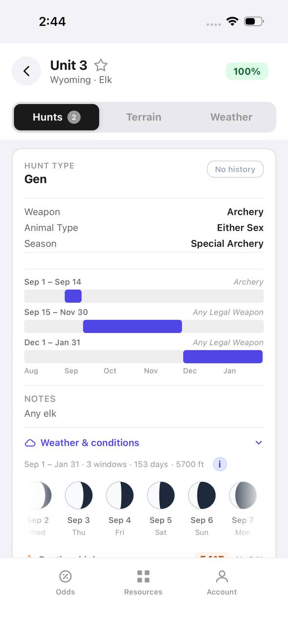
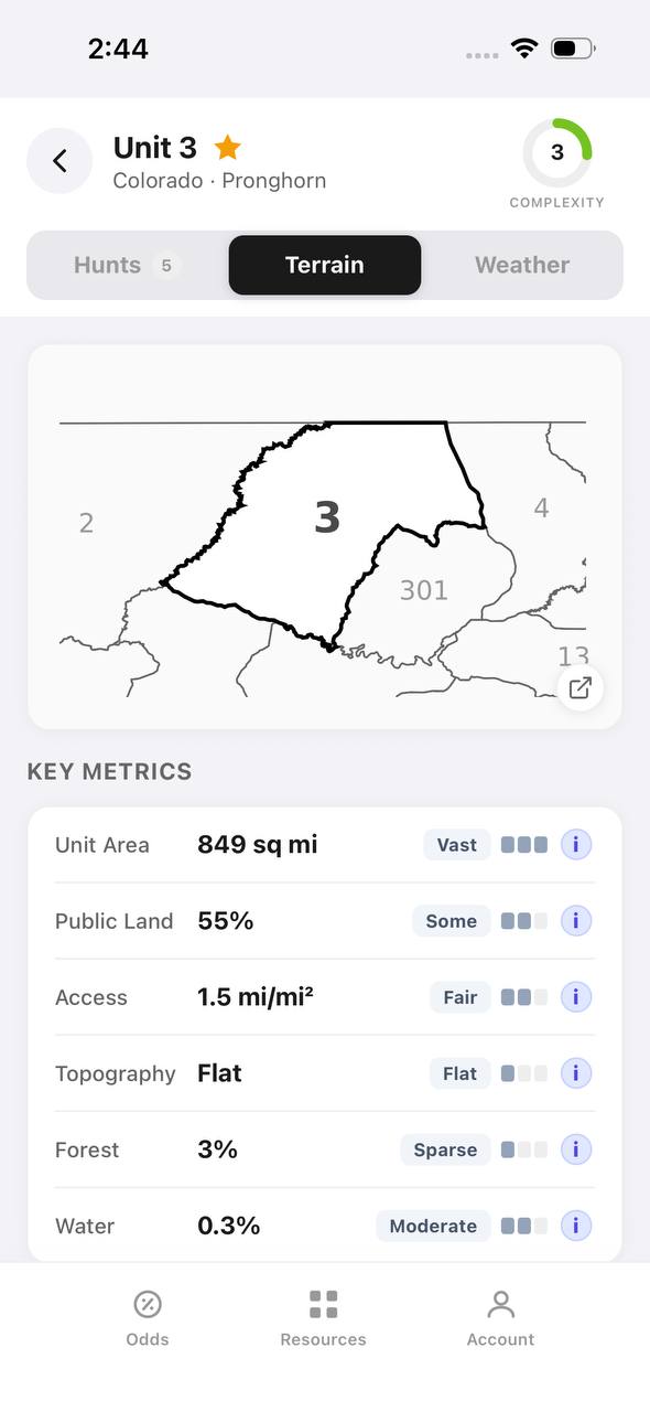
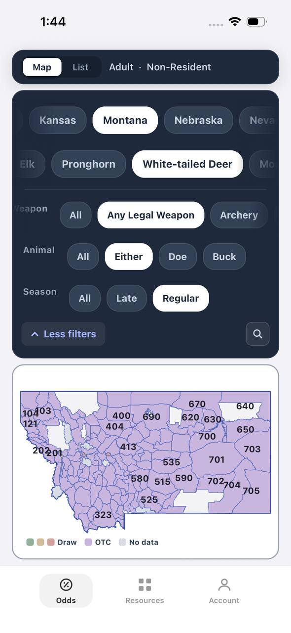
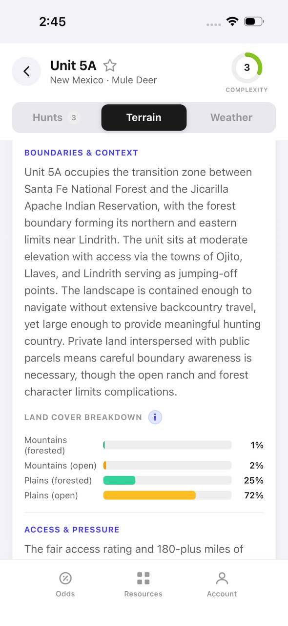
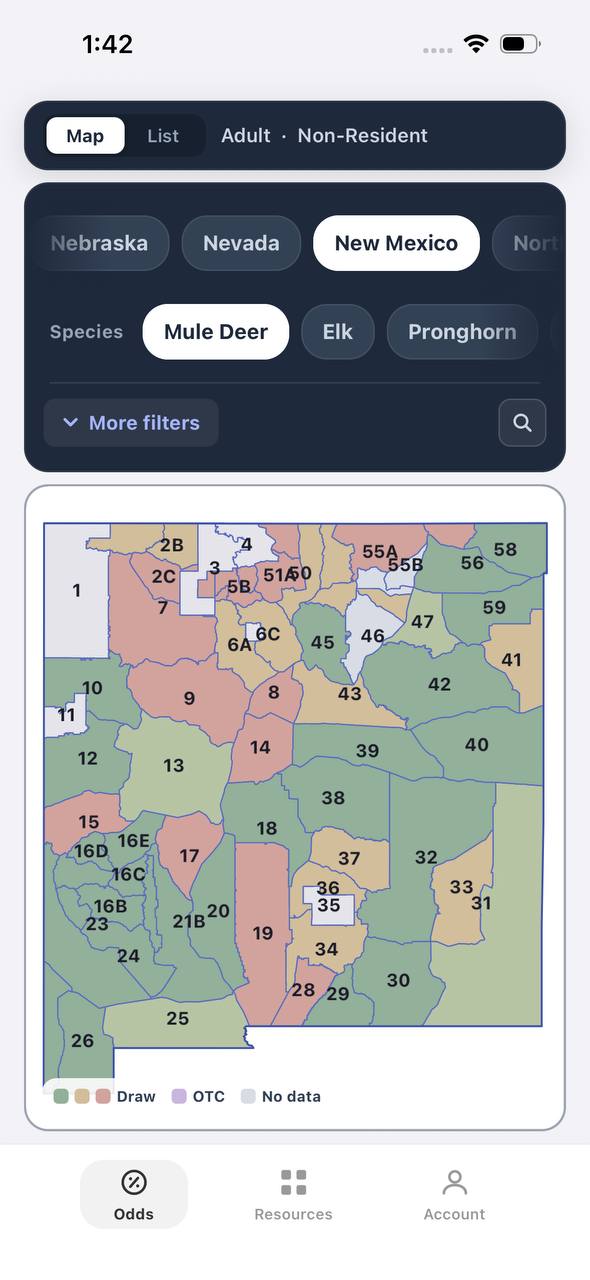
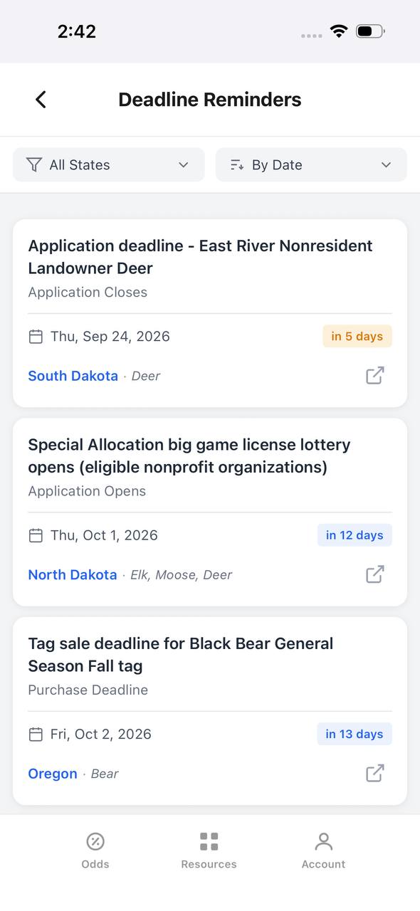
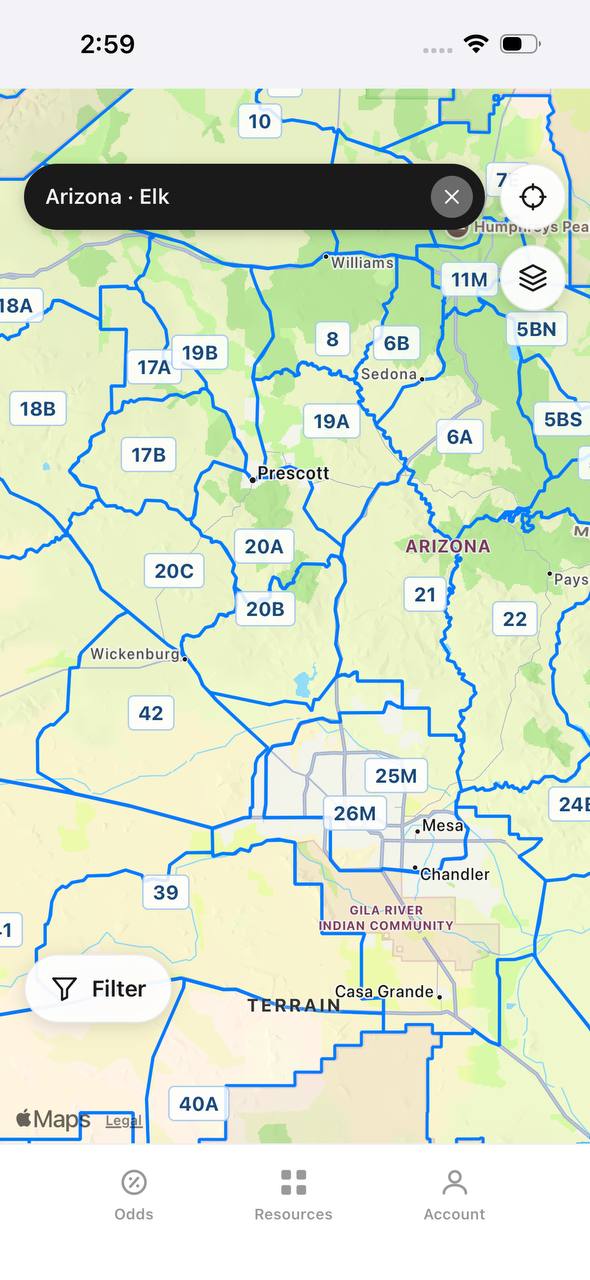
Before boots hit dirt, I mark likely bedding, feeding, and travel routes. I’ll match those spots to on-the-ground sign when scouting. Digital tools like TAGZ let you overlay draw odds, access, and terrain — so you’re not just looking at lines, but at huntable ground. Combine that with boots-on-the-ground and you’ll find overlooked animals.
Free to join
Download mobile app
- Detailed draw odds
- Point tracking
- Deadline reminders
- 18 states covered

Free to join
Download mobile app
- Detailed draw odds
- Point tracking
- Deadline reminders
- 18 states covered
Free to join
Download mobile app
- Detailed draw odds
- Point tracking
- Deadline reminders
- 18 states covered
How TAGZ Makes Map Reading Pay Off
TAGZ ties your topo map skills to real hunt data. You find the terrain, TAGZ shows you where to apply, what pressure looks like, and how units compare. It’s not magic — but it saves you years of trial and error.
Topo Map Reading FAQ
How do I know if an area is too steep to hunt?
If contour lines are stacked tight together for long stretches, it’s cliffy or a brutal climb. If you can’t pack meat out, look elsewhere.
What topo features do elk prefer?
Benches, north-facing timber, and secluded drainages. Look for water and escape cover nearby.
How can I avoid hunting pressure using topo maps?
Find terrain features away from main access points — especially spots that require a tough hike in or out-of-the-way trailheads.
Can I trust digital maps for scouting?
They’re a great start, but always double-check with satellite imagery and, if possible, scout on foot. Conditions change, logging roads close, and burn scars can reset everything.
More Map Tools and Tips
For more on using maps to plan your next western hunt, check out:
Was this article helpful?
Previous
Best Elk Terrain Features: Where to Find Bulls When It Counts
Cut guesswork by dialing in on the terrain elk actually use. Here’s what to look for, how to hunt it, and what most guys get wrong.
Related
Colorado GMU 23 Elk Hunting Guide
Colorado GMU 23 is a classic western Colorado elk unit where habitat is strong but hunter pressure and access choices decide a lot. This guide breaks down terrain, access, pressure, scouting, and practical elk strategy so hunters can build a realistic plan before committing time or points.
Next
DIY Public Land Hunting: Real-World Tactics for 2026
The straightforward guide to DIY public land hunting in 2026, with honest advice on pressure, terrain, and how to maximize your odds.