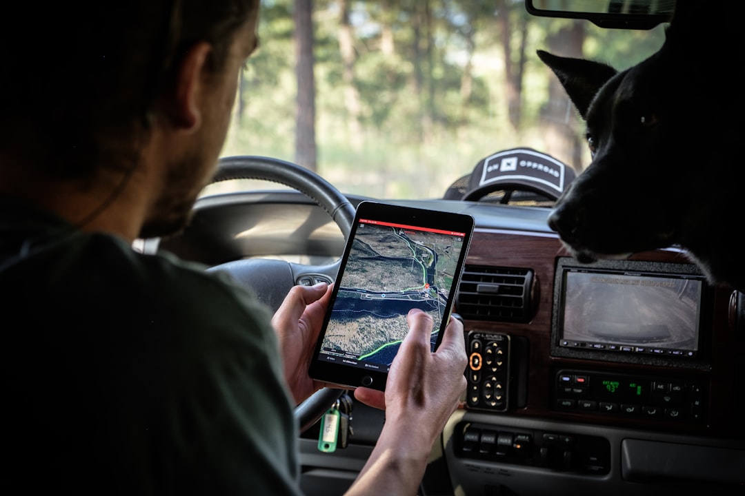
You are three ridges deep into a new unit, glassing a basin you have never seen before, when the weather turns. Fog rolls in, visibility drops to fifty yards, and every drainage looks identical. A quality GPS device is not just convenient in moments like this — it is the difference between walking confidently back to camp and spending an unplanned night out.
Western hunters operate in country where cell service disappears, trails vanish, and landmarks blend together after dark. A dedicated GPS unit or reliable smartphone setup ensures you can mark your truck, track your route, identify property boundaries, and navigate back out even when conditions deteriorate. The best device is the one that matches how you hunt — whether that means a ruggedized handheld for weeklong backpack hunts or a smartphone app backed by a satellite communicator for day trips closer to the rig.
Why Dedicated GPS Units Still Matter
Smartphone apps have improved dramatically, but dedicated GPS devices offer advantages that matter in serious backcountry conditions. Battery life stands out immediately — most handheld units run 15 to 40 hours on a set of AA batteries, and you can carry spares that weigh ounces. Your phone dies in freezing temperatures or after heavy navigation use, often within hours.
Dedicated units are built for abuse. They survive drops onto rocks, function in subzero cold, and keep working in rain that would send you scrambling for a dry bag. Touchscreens work with gloves. Screens remain visible in direct sunlight. And because the device has one job, you are not burning through your communication lifeline just to check a waypoint.
The trade-off is cost and weight. A quality handheld GPS runs $300 to $700, and even the lightest models add 7 to 10 ounces to your pack. But for hunters who routinely operate multiple days from the trailhead or in weather that punishes electronics, that investment pays off the first time conditions turn.
Top Handheld GPS Options
Garmin dominates the handheld GPS market for good reason. The Garmin GPSMAP 67i combines a full-featured GPS with two-way satellite messaging via the Iridium network. You get preloaded TopoActive maps, expanded memory for custom maps, and a bright 3-inch color display. Battery life hits 165 hours in expedition mode or 16 hours with continuous tracking. The inReach subscription runs $14.95 to $64.95 per month depending on message volume, but it is the same reliable satellite network that has backed inReach devices for years. This unit makes sense for hunters who want navigation and emergency communication in one device.
The Garmin GPSMAP 66sr strips out satellite messaging but adds multi-band GNSS support, which pulls signals from GPS, GLONASS, and Galileo satellites simultaneously. That means faster position locks and better accuracy under heavy tree cover or in canyon bottoms. It uses the same TopoActive maps, accepts microSD cards for additional map layers, and runs on two AA batteries. At around $500, it is a pure navigation tool built for hunters who already carry a separate satellite communicator.
For budget-conscious hunters, the Garmin eTrex 32x delivers core GPS functionality without the premium price tag. You get a 2.2-inch color screen, preloaded TopoActive maps, and 25-hour battery life on two AA batteries. The screen is smaller and harder to read in bright sun compared to the GPSMAP series, but it handles the fundamentals — tracking your route, marking waypoints, and navigating back to the truck. At around $250, it is a solid entry point for hunters new to GPS or operating on a tighter budget.
Smartphone GPS Apps and Satellite Communicators
Most western hunters now rely on smartphone mapping apps as their primary navigation tool, and for good reason — the maps are detailed, the interface is intuitive, and you are already carrying the device. onX Hunt remains the industry standard, offering property boundaries, landowner names, unit borders, access points, and offline map downloads across all western states. The annual subscription ($99.99 for one state or $199.99 for all states) includes regular map updates and integrates seamlessly with desktop planning tools. You can scout units on your laptop, mark waypoints, and sync everything to your phone before the hunt.
GAIA GPS appeals to hunters who want deeper topographic detail and route planning features. The app supports dozens of map layers, including USGS quads, satellite imagery, and weather overlays. It does not include land ownership data by default, but you can overlay that information through partnerships with onX or purchase it separately. GAIA works well for hunters who also backpack, trail run, or paddle — one subscription covers all outdoor activities.
The weakness of any smartphone system is power management and durability. Cold weather kills batteries fast, and even newer phones struggle to last a full day under heavy GPS use. Carrying a 10,000mAh power bank adds weight but solves the problem for most hunts. A ruggedized case protects against drops and moisture. And airplane mode with GPS enabled conserves battery while still tracking your location.
Pairing your phone with a Garmin inReach Mini 2 gives you the navigation power of a smartphone app with the safety net of satellite messaging. The Mini 2 weighs 3.5 ounces, clips to a shoulder strap, and provides two-way texting, SOS functionality, and location sharing through the Iridium network. You navigate on your phone and communicate via the inReach, keeping both tools in their ideal roles. This combination makes sense for solo hunters, anyone hunting new country, or expeditions where rescue coordination matters.
Map Layers and Public Land Boundaries
The most valuable feature of any modern GPS system is not the device — it is the map data. Public land boundaries, unit borders, and property lines define where you can legally hunt, and getting those boundaries wrong leads to trespassing tickets, confiscated game, and lost hunting privileges. Every western state manages land ownership differently, and what looks like open country on a standard topo map might be checkerboarded private land or restricted tribal property.
onX Hunt specializes in this data. The app displays BLM, Forest Service, state trust land, private property, and wilderness boundaries with landowner names and parcel lines. When you are navigating through a mix of public and private ground, that clarity is essential. You can mark access points, identify corner crossings, and plan your route to stay legal.
Garmin handhelds support BirdsEye Satellite Imagery and custom map layers via microSD card. You can download detailed topos, hunting-specific maps, or even load onX data onto compatible devices. This flexibility matters for hunters who prefer a dedicated unit but still want access to premium map layers.
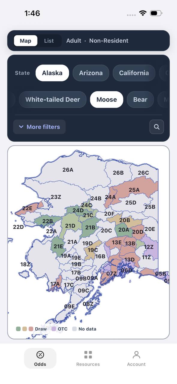
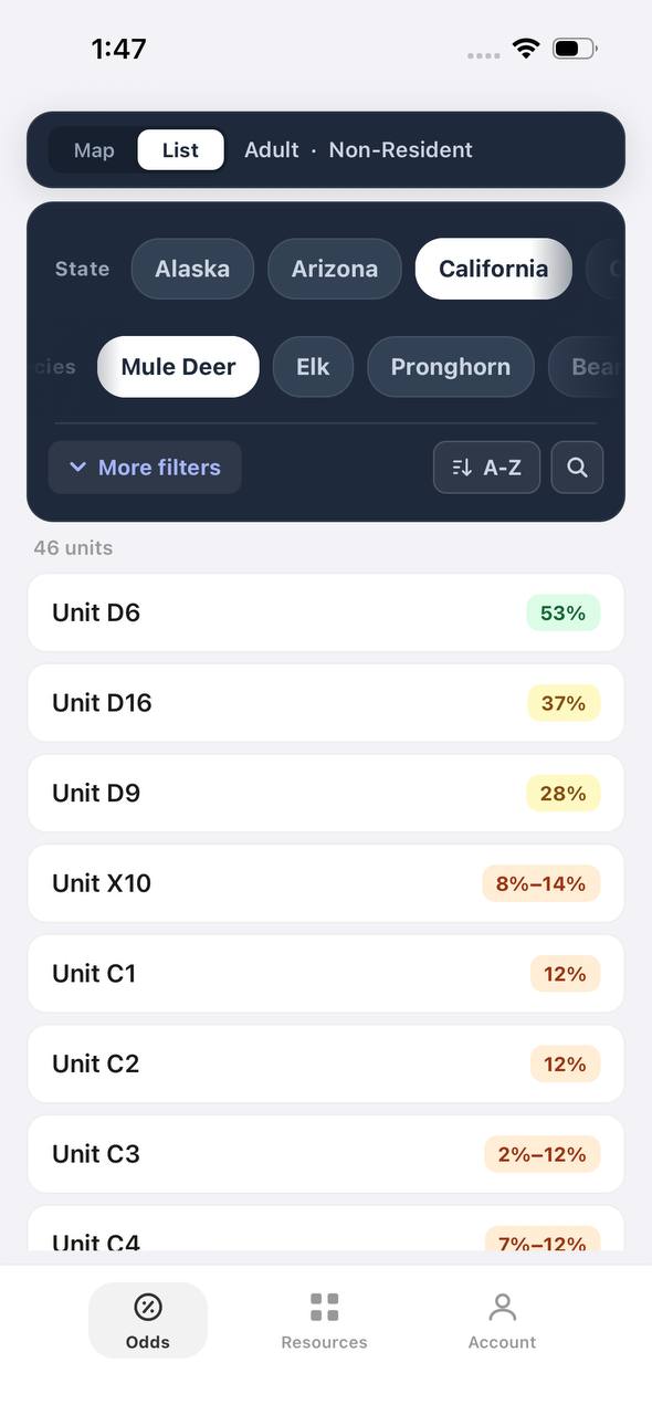
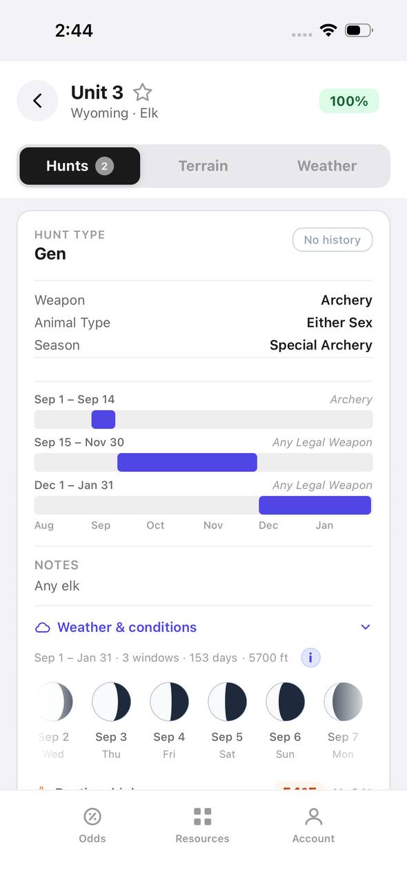
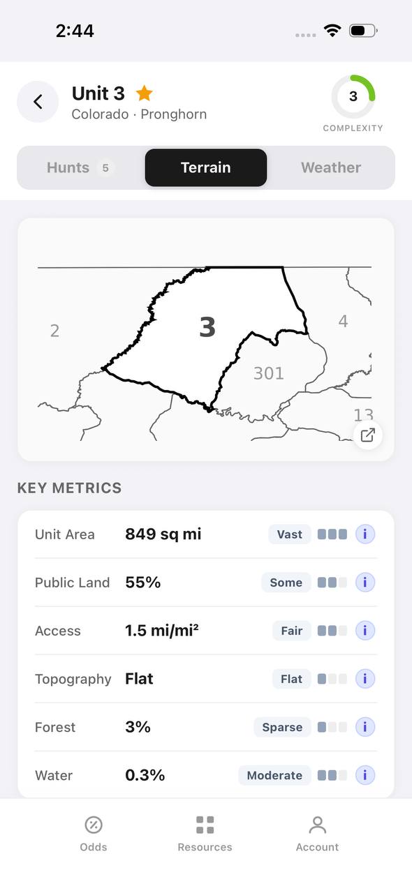
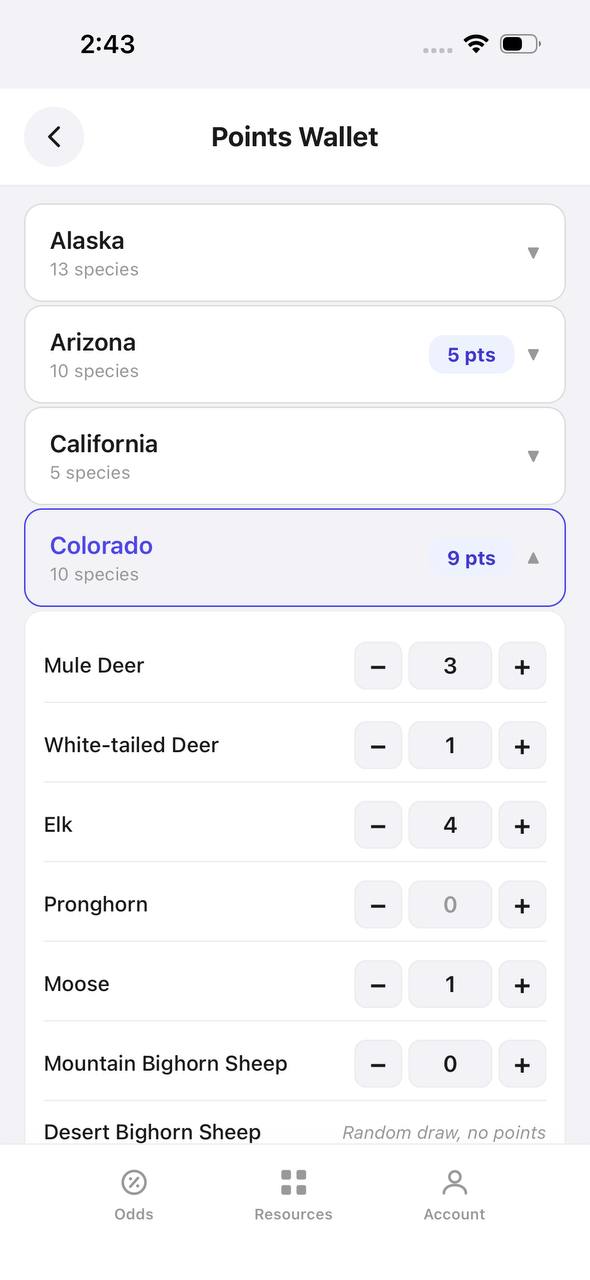
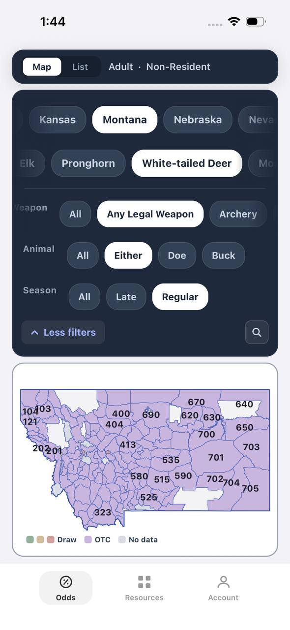
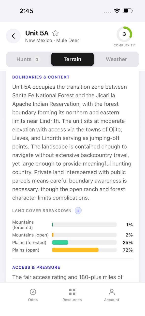
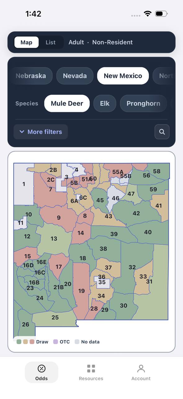
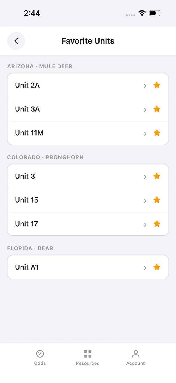
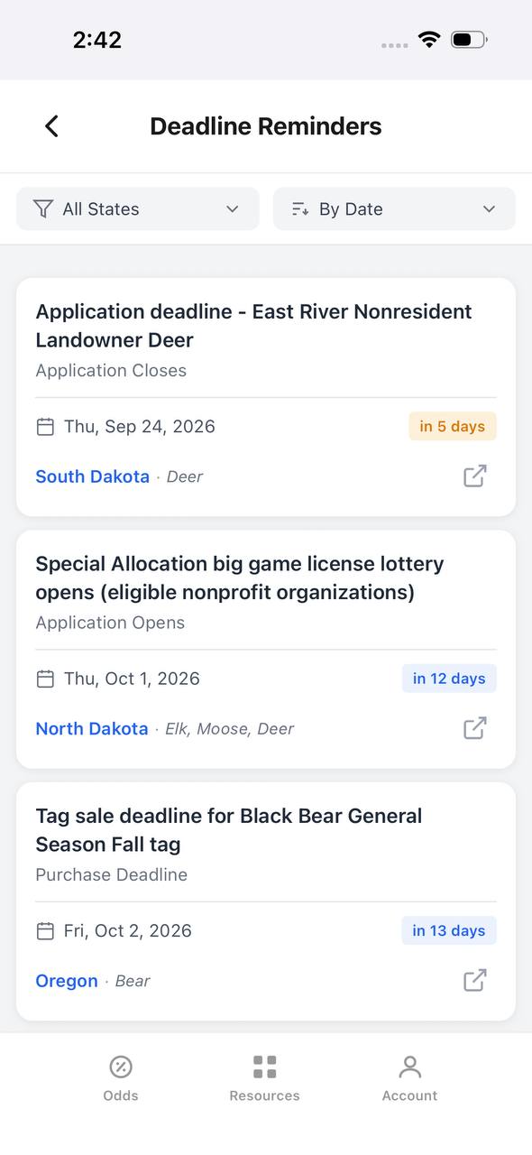
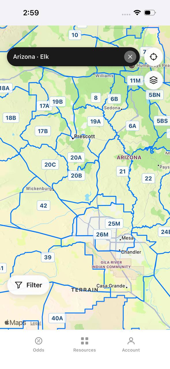
TAGZ helps you compare units side by side using terrain maps, unit boundaries, and historical draw data. Track your preference points and bonus points across multiple states so you never miss a draw deadline. Whether you are chasing OTC tags or planning a trophy limited-entry hunt, TAGZ gives you the tools to make smarter decisions before you ever step into the field.
Free to join
Download mobile app
- Detailed draw odds
- Point tracking
- Deadline reminders
- 18 states covered

Free to join
Download mobile app
- Detailed draw odds
- Point tracking
- Deadline reminders
- 18 states covered
Free to join
Download mobile app
- Detailed draw odds
- Point tracking
- Deadline reminders
- 18 states covered
Features That Matter in the Field
Waypoint management is the foundation of GPS navigation. Mark your truck, camp, water sources, glassing points, and any elk sign you find. Name waypoints clearly — "Truck" is more useful at 2 a.m. than "Waypoint 47." Most devices and apps let you assign icons and colors to different waypoint types, which speeds up map reading when you are tired.
Track recording shows where you have been, which prevents doubling back over country you already covered and helps you relocate specific spots. Set your device to log points every 30 seconds or based on distance traveled. At the end of a scouting trip, review your track to identify terrain features, elevation changes, and areas worth revisiting.
Routing and navigation get you from Point A to Point B, but understand the limitations. Most GPS devices calculate routes based on existing trails and roads, which may not exist or may be overgrown. Treat suggested routes as guidance, not gospel. Always verify with your eyes and adjust as terrain dictates.
Elevation profiles help you assess how much climbing sits between you and your destination. A spot that looks close on a 2D map might involve 1,500 feet of elevation gain through blowdown. Checking the profile before you commit saves energy and frustration.
Battery Management and Cold Weather Performance
Lithium AA batteries outperform alkaline in cold weather and deliver consistent power until they die. For dedicated GPS units that run on AAs, carry lithium spares. They weigh the same, last longer, and work reliably below freezing.
Smartphones hate cold. Keep your device in an inside jacket pocket when not in use, and consider an insulated case for extended glassing sessions. External battery packs lose capacity in freezing temps too — store them inside your jacket or sleeping bag at night.
Most GPS units and apps offer power-saving modes that reduce screen brightness, limit tracking intervals, or disable wireless features. Learn these settings before your hunt. An extra 10 hours of battery life might be the difference between navigating out confidently and rationing power to limp back to the trailhead.
Real-World Scenarios: Which Setup Fits Your Hunt
For day hunts within a few miles of the truck in decent weather, a smartphone running onX paired with a battery pack handles 90 percent of situations. You get detailed maps, easy waypoint management, and a familiar interface. Add a small backup battery and you have enough power for a long day.
Backpack hunts lasting three to seven days shift the equation. A dedicated GPS unit with replaceable AA batteries removes power anxiety. You can navigate all day, every day, for a week without worrying about charging. Pair it with an inReach Mini for communication, and you have a lightweight, reliable system that works no matter how remote you get.
Hunts in extreme weather or rugged country favor dedicated units. Temperatures below 20 degrees, constant rain, or technical terrain punish smartphones. A GPSMAP 66sr or 67i keeps functioning when your phone shuts down or cracks on a rock.
First-time hunters in new units benefit most from onX Hunt's land ownership data combined with TAGZ's unit research tools. Scout on TAGZ to compare draw odds and unit characteristics, then use onX to identify specific access points and glassing locations once you have a tag. That combination turns raw data into actionable hunt plans.
Integration with Other Gear
A GPS works best as part of a navigation system, not a standalone solution. Carry a paper map and compass as backup. Learn basic land navigation so you can orient yourself if your GPS fails. Mark key waypoints on your paper map so you have a reference even if electronics die.
Satellite communicators like the inReach series pair naturally with GPS apps and dedicated units. Program emergency contacts, share your location with family, and maintain communication even when cell towers are 40 miles away. The peace of mind is worth the subscription cost, especially for solo hunters.
Action cameras and rangefinders with GPS integration let you tag photos and range readings with precise coordinates. That data helps you relocate specific trees, trails, or overlooks during future hunts. It is a small feature that becomes valuable when you are trying to find that perfect ambush point in thick timber.
Common Mistakes and How to Avoid Them
Relying entirely on GPS without backup navigation skills is the most common mistake. Electronics fail. Batteries die. Screens crack. Know how to read a topo map, shoot a bearing, and navigate by terrain association. Your GPS should confirm what the landscape is already telling you, not replace your ability to read country.
Failing to download offline maps before you leave cell service turns your smartphone into a paperweight. Most apps require a manual download step — assuming maps will work without service is a recipe for frustration. Download your hunt area, plus a buffer zone around it, before you leave home.
Ignoring property boundaries gets hunters in trouble every season. Just because you can walk somewhere does not mean it is legal to hunt there. Verify boundaries with your GPS before you set up, and give yourself a buffer. A landowner-name label on onX is not a survey — respect posted signs and fences even if the digital boundary looks different.
Not practicing with your GPS before the hunt wastes time in the field. Learn how to mark waypoints, create routes, measure distances, and navigate to saved points while you are still at home. Fumbling through menus in the dark with cold fingers is not the time to figure out how your device works.
FAQ — GPS Devices for Hunters
What is the most reliable GPS for backcountry hunting?
The Garmin GPSMAP 67i combines proven GPS performance with satellite messaging and runs 16 hours on AA batteries. For pure navigation without communication, the GPSMAP 66sr offers multi-band GNSS and exceptional accuracy under tree cover.
Can I use my smartphone as my only GPS device?
Yes, if you carry backup power, download offline maps, and hunt in moderate weather within a day's travel of your vehicle. For multi-day backcountry hunts or extreme conditions, a dedicated GPS unit with replaceable batteries is more reliable.
Is onX Hunt worth the subscription cost?
For western hunters, yes. The property boundary data, landowner names, and unit borders prevent trespassing and help you identify legal access points. The annual cost is less than a tank of gas, and the information saves far more than that in wasted time and potential fines.
Do I need a satellite communicator if I already have a GPS?
GPS devices navigate — satellite communicators provide two-way messaging and SOS capability. They serve different purposes. If you hunt solo, in remote country, or in areas with no cell service, a satellite communicator adds a critical safety layer that GPS alone does not provide.
How do I keep my phone battery alive during all-day hunts?
Use airplane mode with GPS enabled, reduce screen brightness, close unused apps, and carry a 10,000mAh power bank. Keep your phone warm in an inside pocket when not in use — cold kills battery life faster than anything else.
What GPS features matter most for elk hunting?
Waypoint management for marking bugles and sign, track recording to avoid covering the same ground twice, topographic map layers to read terrain, and public land boundaries to stay legal. Multi-day battery life becomes essential on backcountry hunts.
Continue Planning Your Hunt
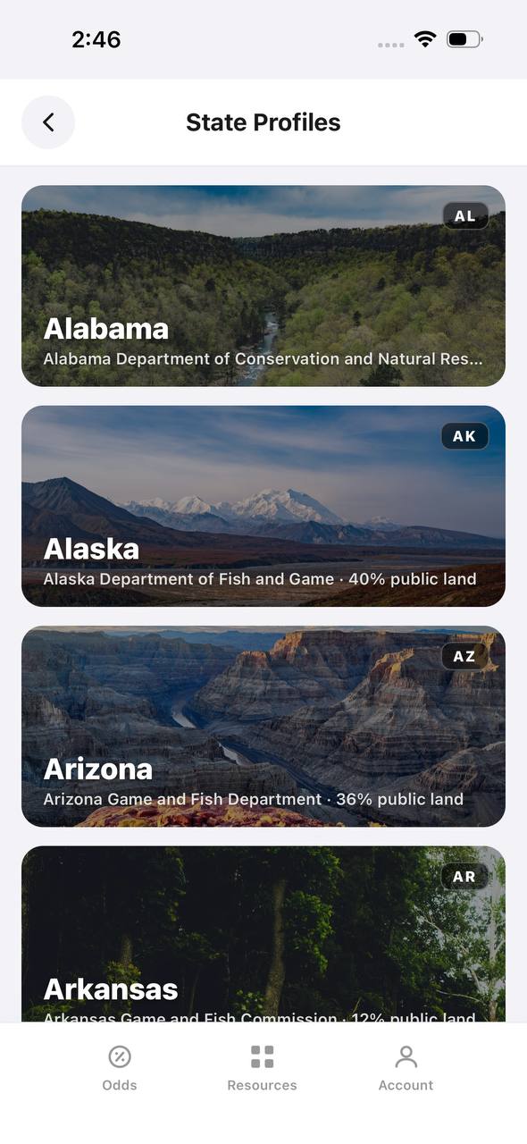
Navigation is one piece of a successful hunt — draw strategy, unit research, and application timing matter just as much. TAGZ helps you compare units side by side using terrain maps, unit boundaries, and historical draw data. Track your preference points and bonus points across multiple states so you never miss a draw deadline. Whether you are chasing OTC tags or planning a trophy limited-entry hunt, TAGZ gives you the tools to make smarter decisions before you ever step into the field.
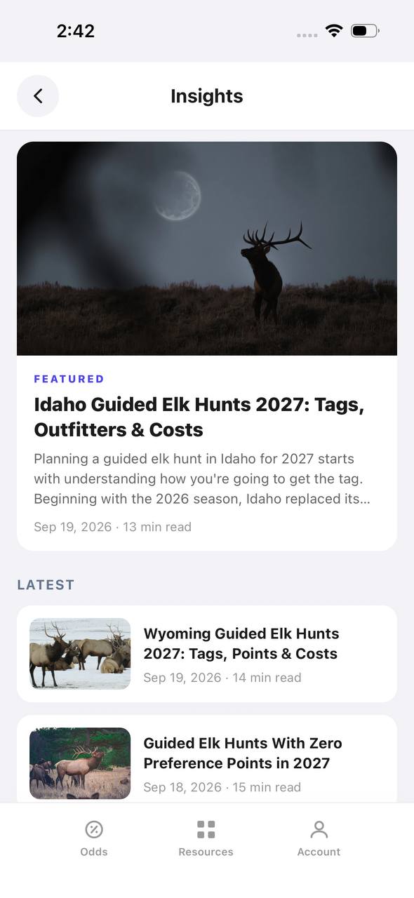
Explore more western hunting insights and application strategies on the TAGZ Insights page. Learn how draw odds work across different states, compare unit characteristics, and build a multi-year point strategy that maximizes your opportunities.
Ready to simplify your hunt planning? Check out TAGZ pricing to find the subscription that fits your hunting goals, or explore the TAGZ platform to see how draw data, maps, and deadline tracking come together in one tool. Visit the TAGZ homepage to get started.
Was this article helpful?
Previous
Best Bow Stabilizers for Hunting: Top Picks for 2025
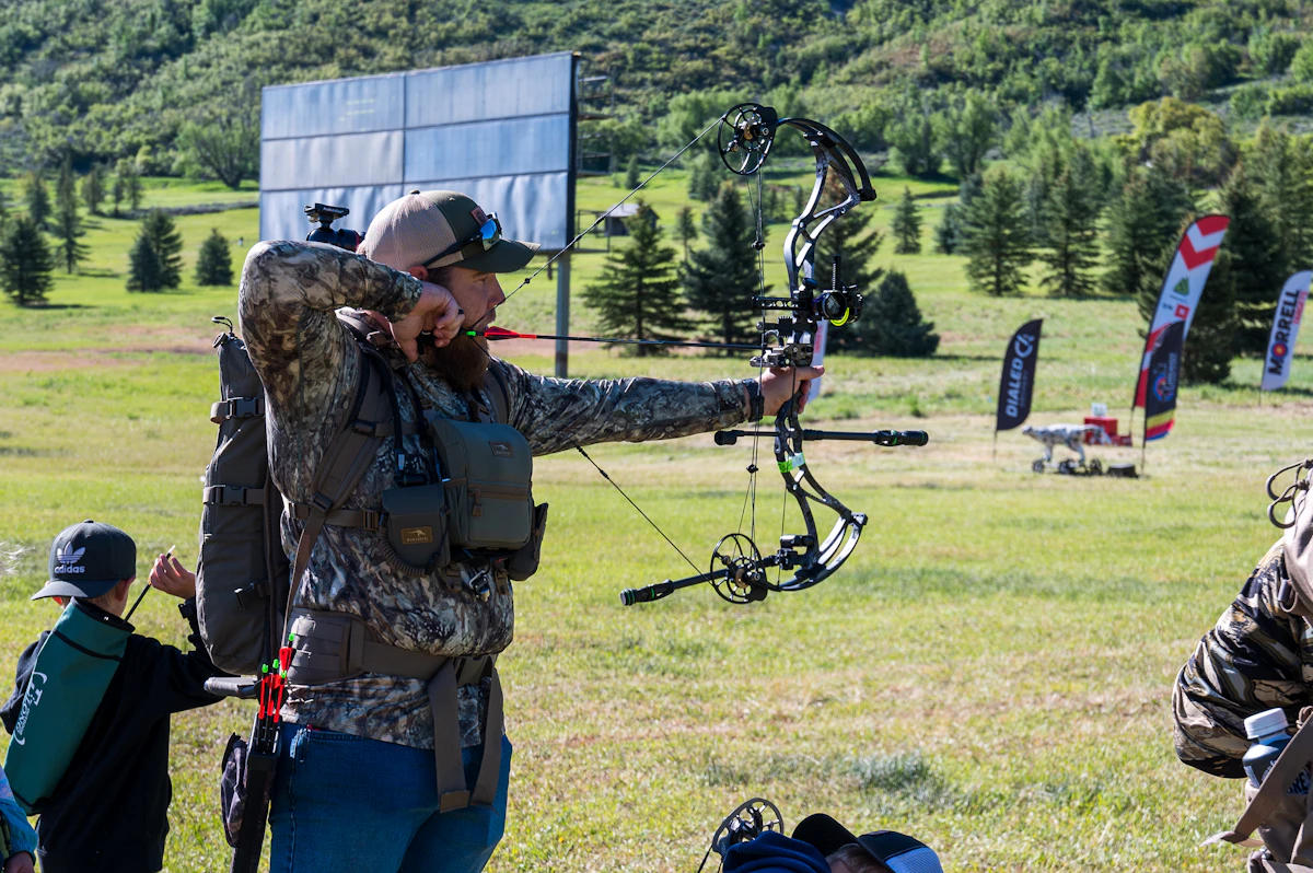
The right bow stabilizer improves accuracy, reduces hand shock, and balances your bow for steadier shooting in the field. We break down the best stabilizers for tree stand hunters, spot-and-stalk pursuits, and backcountry bowhunters who need lightweight reliability.
Related
Best Hunting Pants for Every Condition and Style in 2026
Discover the top hunting pants for 2026 that combine durability, comfort, and concealment. Find the perfect pair for your hunting style and terrain.
Next
Choosing the Right Harpoon, Bang Stick, and Snare for Big-Game Hunting
Harpoons, bang sticks, and snares are specialized tools for specific hunting scenarios — from underwater boar hunting to survival situations. Understanding their legal status, proper application, and limitations keeps you safe and compliant in the field.