Best Florida WMAs for Bear Hunting in 2027
Florida's black bear population has rebounded dramatically over the past three decades, creating hunting opportunities across Wildlife Management Areas in four distinct bear management units. The Central and North zones consistently produce the highest harvest numbers, with Ocala National Forest, Apalachicola WMA, and Osceola WMA standing out for access, bear density, and hunter success. Understanding zone characteristics, habitat types, and application strategy gives hunters the best chance at drawing one of Florida's limited bear permits.
Florida's Bear Zone Structure
Florida Fish and Wildlife Conservation Commission (FWC) divides the state into four bear management units: North, Central, East Panhandle, and South. The Central zone, encompassing Ocala National Forest and surrounding areas, typically receives the highest quota allocation due to robust population estimates. The North zone, stretching across the Panhandle and Big Bend region, offers extensive public land but lower bear densities in most areas. East Panhandle provides limited opportunity, while South zone hunts are rare and highly restrictive due to smaller, more sensitive populations.
Quotas shift annually based on population surveys, harvest data, and biological objectives. Central zone permits generally range from 100 to 320 tags depending on the year, while North zone allocations vary from 100 to 240. Hunters must monitor FWC announcements each spring for the upcoming fall season's quota and rule changes. Zone selection directly impacts draw odds, with Central zone seeing the highest application pressure but also offering the most tags.
Ocala National Forest — Central Zone Powerhouse
Ocala National Forest dominates Florida bear harvest statistics. This 430,000-acre expanse of sand pine scrub, longleaf flatwoods, and cypress swamps holds the highest bear density in the state. Multiple WMAs within the forest boundary provide access, including Ocala North, Ocala South, Alexander Springs, Seminole State Forest, and portions of Lake George. Hunters can position across vast tracts of contiguous habitat where bears move between feeding areas, bedding cover, and water sources.
Bear activity concentrates around creek bottoms, oak hammocks, and swamp edges where food availability peaks in fall. Acorns, saw palmetto berries, and gallberry fruits draw bears into predictable patterns. Stand hunters posting near oak flats or saddles between swamp and high ground intercept bears moving to feed. Still-hunters glassing open understory beneath mature pines catch bears traveling midday. The forest's extensive road network allows access deep into prime zones, though competition increases near major trailheads.
Success rates in Ocala consistently exceed other areas, with harvest density maps showing concentrated activity in the central and northern forest sections. Hunters willing to hike beyond the first mile of access roads and position on natural funnels or fresh sign encounter less pressure and better odds. Afternoon sits near water sources during warm September weather often produce encounters as bears hydrate before evening feeding.
Apalachicola National Forest — North Zone Gem
Apalachicola National Forest spans 632,000 acres across the Panhandle, offering Florida's largest contiguous public hunting ground. Bear populations here are robust but spread across diverse habitat types. The forest encompasses longleaf pine savannas, hardwood swamps, river bottoms, and dense bay heads. Multiple WMAs provide access, including Apalachicola River WMA, Apalachicola WMA proper, and adjacent state forest lands.
Bears in Apalachicola favor drainages, creek heads, and titi thickets where thick cover meets food sources. Hunters targeting river bottoms near confluences or positioning along ridges separating drainages intercept bears moving between bedding and feeding zones. The forest's topographic variation creates natural travel corridors that concentrate movement. Glass ridges in early morning or late afternoon to spot bears crossing open longleaf stands.
Access requires more planning than Ocala due to sheer size and fewer maintained roads. Topographic maps and satellite imagery help identify habitat transitions worth investigating. The western sections near the Apalachicola River see less hunter pressure but require longer hikes. Central zones near Highway 65 provide easier access but more competition. Hunters committing to backcountry camps gain significant advantage in encounter rates.
Osceola WMA — Underrated Central Zone Option
Osceola WMA covers 56,000 acres in Polk and Osceola counties, connecting to larger conservation lands in the Central Florida ecosystem. This area holds strong bear numbers but receives less attention than Ocala, creating better odds for hunters willing to scout. Habitat includes oak hammocks, cabbage palm swamps, improved pasture edges, and mixed hardwood stands. Bears here adapt to fragmented landscapes, using corridors between conservation patches.
Food sources shift with seasonal availability. Early season bears target palmetto berries and acorns in upland hammocks. As fall progresses, they concentrate in swamp edges where late-fruiting species ripen. Hunters setting up along transition zones between upland and wetland habitat intercept travel routes. Stand locations overlooking water access points or oak flats near bedding cover produce consistent sightings.
Osceola's proximity to Orlando and Tampa increases pressure near trailheads, but interior zones see minimal traffic. Hunters hiking two miles into connected conservation corridors encounter solitude and undisturbed bears. The area's mix of public and conservation easement lands creates complexity, so verify boundaries carefully before hunting. This WMA rewards scouting investment with quality encounters away from crowds.
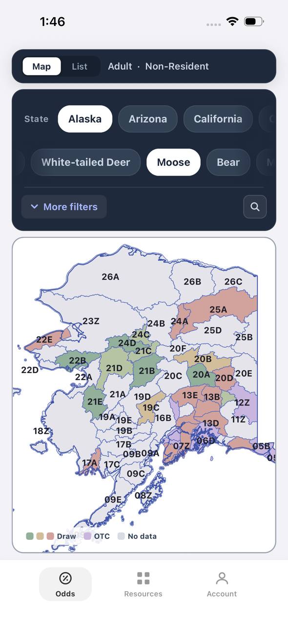
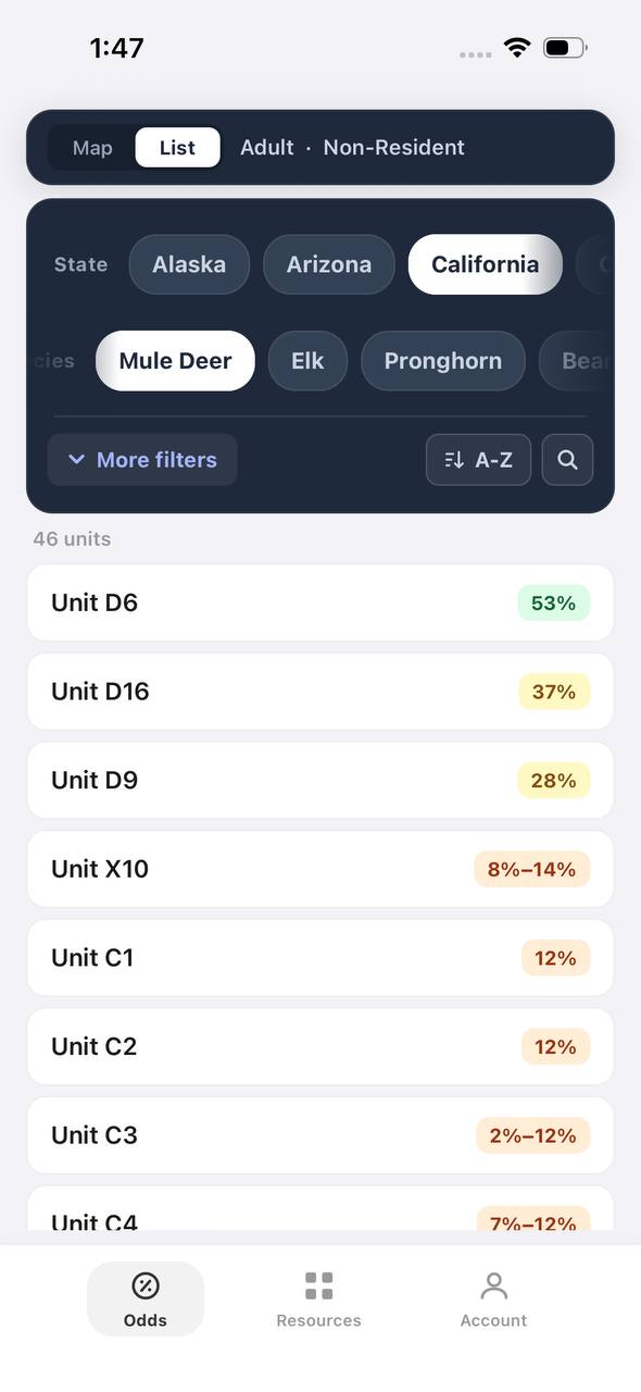
Free to join
Download mobile app
- Detailed draw odds
- Point tracking
- Deadline reminders
- 19 states covered

Free to join
Download mobile app
- Detailed draw odds
- Point tracking
- Deadline reminders
- 19 states covered
Free to join
Download mobile app
- Detailed draw odds
- Point tracking
- Deadline reminders
- 19 states covered
Chassahowitzka WMA and Withlacoochee State Forest
Chassahowitzka WMA spans 31,000 acres of coastal marshes, hardwood swamps, and mixed pine-hardwood uplands in Citrus and Hernando counties. The Central zone unit holds decent bear numbers, particularly in interior swamp complexes. Hunters here deal with thick vegetation and limited visibility, making stand hunting near pinch points more productive than still-hunting. Focus on trails connecting swamp interiors to upland feeding areas.
Withlacoochee State Forest covers 157,000 acres across multiple counties, offering diverse bear habitat. The Croom, Citrus, and Richloam tracts all hold bears, with Croom and Richloam showing higher activity levels. Sandhills, mixed hardwoods, and cypress swamps create varied hunting conditions. Bears travel power line rights-of-way, old logging roads, and creek corridors between feeding and bedding areas. Hunters positioning on these natural travel routes during morning or evening movement periods see the most action.
Both areas require dealing with thick Florida vegetation. Trimming shooting lanes and selecting stand sites with multiple sight windows increases effectiveness. Afternoon sits near seeps, springs, or creek crossings capitalize on bears moving to water during warm weather. These WMAs offer solid backup options for hunters unable to draw Ocala or Apalachicola units.
Application Strategy and Draw Odds
Florida's bear hunt operates on a true lottery system with no preference points. Every applicant has equal odds each year, regardless of application history. This levels the playing field but means persistence matters. Hunters can apply for one bear management unit per year during the spring application period, typically opening in late April or early May.
Central zone sees the highest application numbers due to Ocala's reputation, but it also receives the largest quota allocation. Historical draw odds fluctuate between 15% and 35% depending on quota and applicant pool size. North zone odds run slightly better in most years, ranging from 20% to 40%. East Panhandle and South zone hunts occur infrequently and draw odds drop to single digits when available.
Maximizing draw success requires applying every year. With no point accumulation, hunters who skip years forfeit no advantage. Consider North zone as first choice if odds are significantly better in a given year, even though Ocala garners more attention. Quota announcements in March or April reveal which zone offers the best statistical draw chance. FWC publishes previous year's application and draw statistics, allowing data-driven zone selection.
Scouting and Preparation
Effective bear hunting in Florida WMAs demands preseason scouting. Walk potential stand locations in summer, identifying sign concentrations, trails, feeding areas, and water sources. Fresh scat, claw marks on trees, torn logs, and trail camera photos reveal current bear activity. Focus scouting efforts in habitat types bears prefer: oak hammocks, palmetto thickets near water, and transition zones between swamp and upland.
Trail cameras deployed six to eight weeks before season reveal movement patterns and bear numbers. Position cameras on trails showing fresh sign or at creek crossings and saddles. Review images to identify peak movement times and preferred travel routes. This intelligence guides stand placement for opening day when bear movement remains most predictable.
Physical conditioning matters for Florida bear hunting. Warm September temperatures, thick vegetation, and challenging terrain test endurance. Practice hiking in heat while carrying gear. Scout access routes to planned stand locations, timing the walk to ensure silent arrival in darkness. Clear shooting lanes weeks in advance, allowing disrupted areas to settle before season. Preparation separates successful hunters from those frustrated by conditions.
Equipment and Tactics
Florida regulations require minimum calibers and bullet weights for bear hunting. Rifles must be .243 caliber or larger with bullets of at least 90 grains. Muzzleloaders must be .40 caliber or larger. Shotguns require slugs of at least .410 gauge. Handguns must be .357 Magnum or larger. Centerfire rifles in .308, .30-06, or 7mm Remington Magnum handle Florida bears effectively at typical engagement distances of 50 to 150 yards.
Stand hunting outproduces still-hunting in Florida's dense cover. Elevated stands provide better visibility over vegetation and place scent above ground-level air currents. Position stands 15 to 20 feet high overlooking trails, feeding areas, or funnels. Wind direction matters critically — bears rely heavily on scent and will circle downwind of suspicious sounds. Plan multiple stand locations for different wind conditions.
Calling rarely works for Florida bears as they are not vocal during fall. Hunters succeed by positioning on movement routes and remaining patient. Morning hunts target bears returning to bedding areas after nighttime feeding. Evening hunts intercept bears moving toward food sources. Midday can be productive during cloudy or cool weather when bears remain active longer. Bring water, insect repellent, and scent control as Florida's subtropical conditions challenge comfort.
FAQ — Florida Bear Hunting
What are the draw odds for Florida bear permits?
Central zone odds typically range from 15% to 35%, while North zone runs 20% to 40%. Odds fluctuate annually based on quota and applicant numbers. Florida uses a true lottery with no preference points, so every applicant has equal chances regardless of past applications.
Which WMA produces the most bear harvests?
Ocala National Forest consistently leads Florida bear harvest numbers. Its Central zone designation, high bear density, and extensive public access combine to generate the most successful hunts each season. Apalachicola National Forest ranks second in total harvest.
Can nonresidents apply for Florida bear permits?
Yes. Nonresidents may apply for Florida bear permits and compete in the same lottery as residents. Nonresident hunting license fees are higher, but draw odds remain identical to resident odds within each zone.
When does Florida's bear season typically run?
Florida bear seasons typically occur in late October for a one-week period. Exact dates are set annually by FWC based on biological data and quota determinations. Applications open in spring, with results announced in summer.
Do I need to attend a Florida bear identification course?
Yes. All Florida bear permit holders must complete an FWC-approved bear identification course before hunting. The course covers identification features, regulations, harvest reporting, and field care. Online completion is available through the FWC website.
What habitat should I focus on when scouting for bears?
Target oak hammocks, palmetto thickets near water, creek bottoms, and transition zones between swamp and upland. Bears concentrate in areas offering food sources like acorns, palmetto berries, and gallberries combined with thick bedding cover and water access.
Was this article helpful?
Previous
How Much Does a Grizzly Bear Hunt Cost in 2027?
Grizzly bear hunting is currently prohibited throughout the Lower 48 and suspended in most of Alaska. No legal grizzly hunts are available to book for 2027.
Related
Rifle Elk Hunting Utah: Draw Strategies, Unit Selection, and Season Timing
Utah rifle elk hunting offers general and limited-entry opportunities across diverse terrain. Drawing a premium limited-entry tag requires years of patience, but general-season any-bull units and spike hunts provide accessible fall options for nonresidents and first-time applicants.
Next
Public Land Elk Hunting in Montana: 2027 Guide to Units, Access, and Strategies
Montana offers over 90,000 square miles of public land for elk hunting, with general licenses available for nonresidents and residents. This guide covers top units, access strategies, and what to expect in 2027.