Best Wisconsin Counties for Whitetail Deer Hunting in 2027
Wisconsin remains one of North America's premier whitetail destinations, producing Boone and Crockett bucks across a patchwork of agricultural valleys, mixed hardwoods, and managed forests. Identifying the best counties requires examining multiple factors: deer density, age structure, public land availability, and recent harvest trends. Buffalo, Dunn, Jackson, and Waupaca counties consistently rank among the state's top producers for mature bucks, while Dane and Green counties offer underrated opportunities with lower hunting pressure. Understanding what drives success in each region helps hunters make smarter decisions when planning their 2027 Wisconsin whitetail season.
Buffalo County — The Benchmark for Trophy Whitetail
Buffalo County anchors Wisconsin's whitetail reputation. Positioned along the Mississippi River bluff country, Buffalo County combines agricultural richness with rugged terrain that allows bucks to mature. The county has produced more Boone and Crockett entries than any other Wisconsin county over the past two decades. Harvest data consistently shows strong age structure, with a meaningful percentage of harvested bucks scoring 3.5 years or older. The terrain funnels deer movement along ridges and river-bottom ag fields, creating predictable patterns during the rut.
Public land access is limited compared to northern counties, but the Mississippi River Public Hunting and Fishing Grounds and scattered state wildlife areas provide DIY opportunities. The key is recognizing that Buffalo County is a known trophy destination — hunting pressure spikes during the November firearms season. Bowhunters willing to navigate the bluffs during October often find less competition and bucks still locked into pre-rut patterns.
Dunn and Jackson Counties — Consistent Production and Access
Dunn County sits just northeast of Buffalo County and delivers similar whitetail quality without the same level of national attention. The Black River corridor creates excellent habitat diversity, mixing agricultural lowlands with timbered ridges. Deer densities remain high, and the county has steadily appeared in top-ten harvest rankings for mature bucks. Public land is more accessible than Buffalo County, with state wildlife areas and county forests providing scattered options.
Jackson County borders Dunn to the east and shares many of the same habitat characteristics. The Black River State Forest anchors the county's public-land hunting and covers more than 67,000 acres of mixed pine and oak forest interspersed with marsh edges and sandy ridges. Jackson County's advantage lies in space — hunters can find solitude and unburned corners even during peak rifle season. Bucks using the state forest as core range often shift onto adjacent private ag during feeding hours, creating classic edge-hunting scenarios.
Waupaca County — Central Wisconsin's Underrated Producer
Waupaca County occupies central Wisconsin and often flies under the radar compared to western bluff counties. The landscape shifts to glacial topography with rolling hardwood forests, scattered ag, and numerous small lakes. Deer densities are strong, and the county has produced a steady stream of 140-inch-plus bucks without drawing the same hunting pressure as Buffalo or Dunn counties. The Chain O' Lakes region and surrounding mixed forests create diverse habitat that supports both high deer numbers and age structure.
Public land is available through county forests and Department of Natural Resources properties, though parcels tend to be smaller and more fragmented than in northern counties. The advantage is adaptability — hunters can shift between multiple properties if pressure concentrates on one spot. Waupaca County rewards patient hunters who invest in scouting and avoid the temptation to chase widely publicized hotspots.
Dane and Green Counties — Southern Zone Sleepers
Dane County, home to Madison, might seem like an unlikely whitetail destination, but the county's mix of agricultural production, oak savanna remnants, and minimal public hunting pressure creates pockets of exceptional hunting. Deer densities are high across the southern farmland zone, and bucks that survive past 2.5 years grow quickly on high-protein ag crops. Public land is scarce, making private-land access critical, but hunters who secure permission often encounter mature bucks that rarely see pressure.
Green County, positioned along Wisconsin's southern border, offers similar advantages. The rolling agricultural landscape produces heavy-bodied bucks with strong antler growth. The county lacks the rugged terrain of western Wisconsin but makes up for it with sheer deer abundance and agricultural carrying capacity. Harvest statistics show that Green County consistently ranks in the top fifteen for total buck harvest, with a growing percentage of mature animals as hunters adopt quality deer management practices.
Free to join
Download mobile app
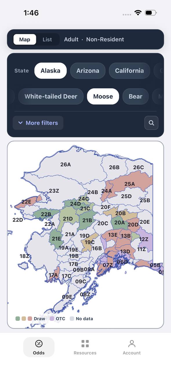
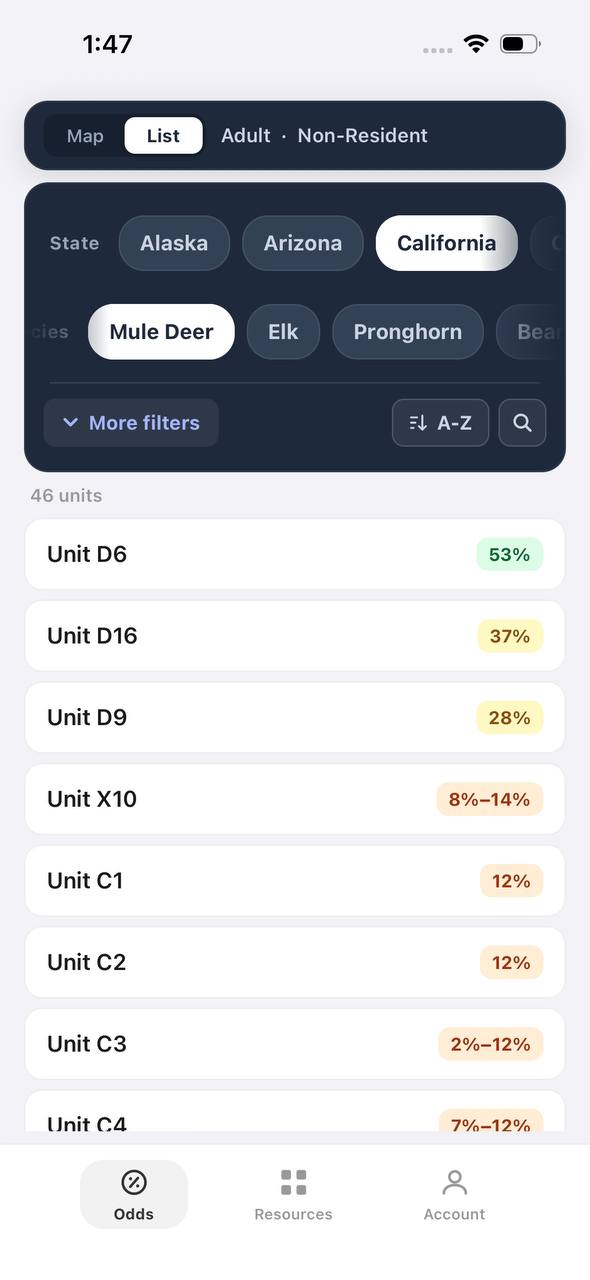
- Detailed draw odds
- Point tracking
- Deadline reminders
- 19 states covered

Free to join
Download mobile app
- Detailed draw odds
- Point tracking
- Deadline reminders
- 19 states covered
Free to join
Download mobile app
- Detailed draw odds
- Point tracking
- Deadline reminders
- 19 states covered
What Drives County-Level Whitetail Success
Several factors determine whether a Wisconsin county produces consistent trophy opportunities. Habitat diversity ranks first — the best counties blend agricultural food sources with secure bedding cover, whether that means river bluffs, state forests, or oak ridges. Age structure matters more than raw deer density. A county with moderate deer numbers but strong buck-to-doe ratios and hunter restraint will outperform a high-density county where most bucks are harvested at 1.5 years.
Public land access shapes opportunity for DIY hunters, but private land with managed hunting pressure often produces the largest bucks. Wisconsin's deer management zones also influence success. Counties in the Northern Forest Zone face different regulations and herd objectives than Southern Farmland Zone counties. Understanding those differences helps hunters set realistic expectations and choose the right county for their goals.
Planning Your 2027 Wisconsin Whitetail Hunt
Wisconsin offers whitetail opportunity across multiple seasons and weapon types. The archery season runs from mid-September through early January, providing the longest window and the least pressure. The nine-day gun season in late November remains the state's highest-participation hunt and concentrates effort across all counties. Muzzleloader and late antlerless seasons extend opportunity into December.
Nonresidents can purchase Wisconsin deer licenses over the counter — no draw system applies to whitetail deer. License sales open in spring, and planning early allows hunters to secure lodging and scout properties before the season. Identifying a target county is only the first step. Successful hunts require boots-on-the-ground scouting, understanding local deer movement tied to crop rotations and terrain, and adapting tactics as pressure shifts deer behavior during the firearms season.
County-level harvest data is published annually by the Wisconsin Department of Natural Resources and provides insight into trends. Comparing total harvest, buck age structure, and antlerless-to-buck ratios across multiple years reveals which counties maintain stable or improving age structures. Counties with declining buck harvest but stable or increasing antlerless harvest may indicate herd management challenges or shifting hunter participation.
FAQ — Best Wisconsin Whitetail Counties
Which Wisconsin county produces the most Boone and Crockett bucks? Buffalo County leads Wisconsin in Boone and Crockett entries and has done so for decades. The Mississippi River bluff country provides ideal whitetail habitat, and local management emphasizes age structure.
Can nonresidents hunt Wisconsin whitetail deer without applying for a draw? Yes. Wisconsin whitetail deer licenses are available over the counter for both residents and nonresidents. No preference points or draw system applies to deer hunting.
What is the best county for public-land whitetail hunting in Wisconsin? Jackson County offers the best combination of public-land access and trophy potential. The Black River State Forest provides more than 67,000 acres, and the county consistently produces mature bucks.
Do southern Wisconsin counties produce big bucks despite high deer densities? Yes. Dane and Green counties combine agricultural nutrition with lower hunting pressure on private land. Bucks in these counties grow heavy-bodied frames and strong antlers when allowed to reach 3.5 years or older.
How does hunting pressure differ between Buffalo County and less-known counties? Buffalo County attracts national attention and experiences heavy hunting pressure, especially during the firearms season. Counties like Waupaca and Green see less outside pressure, creating better opportunities for patient hunters.
What role does terrain play in Wisconsin whitetail hunting success? Terrain influences buck survival and hunter success. Bluff country in western Wisconsin funnels deer movement and provides secure bedding, while central and southern counties rely on scattered timber and agricultural edges. Both can produce mature bucks, but tactics differ.
Was this article helpful?
Previous
Best Public Land Deer Hunting in Wisconsin: 2027 Guide to Top Units and Tactics
Wisconsin offers over 1.5 million acres of public hunting land with exceptional whitetail opportunities. This guide covers the top deer management units, public land strategies, and what makes Wisconsin a destination for public-land deer hunters.
Related
Wisconsin Nonresident Deer Hunting 2027: Licenses, Costs & Rules
Wisconsin offers nonresident deer hunters both gun and bow licenses with straightforward application processes and reasonable costs. Understanding the bonus point system, preference system options, and license types helps nonresidents maximize their chances of drawing quality tags.
Next
Wisconsin Deer Hunting Guide 2027: Seasons, Tags & Regulations
Wisconsin's 2027 deer seasons offer multiple weapon choices and a straightforward tag system. Plan your hunt with this breakdown of season dates, license requirements, and harvest rules.